River Mole
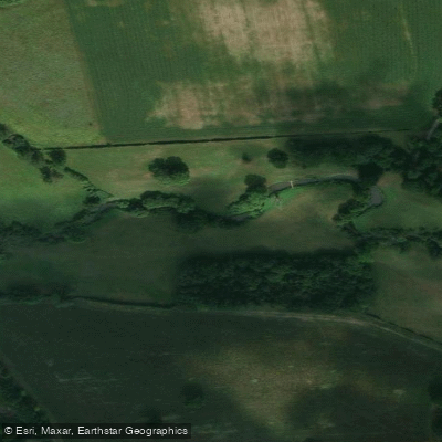
River Mole
- Boat Ramps
- 0
- Access Points
- 0
- Campsites
- 2
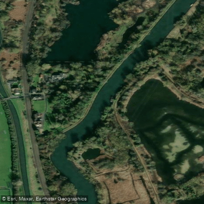
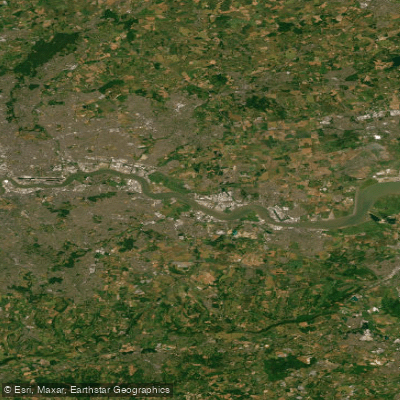
The River Mole is a tributary of the Thames in southern England, rising near Rusper in West Sussex at an elevation of 105 metres and flowing north-west through Surrey for approximately 80 kilometres before joining the Thames at East Molesey, opposite Hampton Court Palace. The river gives its name to the Surrey district of Mole Valley.
The paddleable section runs between Brockham and Fetcham, and a licence is required to paddle this stretch. A Paddle UK (British Canoeing) membership provides the necessary waterways licence, covering 4,500 km of waterways in England and Wales, and is considerably more economical than purchasing an individual licence. The lower 400 metres from the Thames confluence to Molember Weir at East Molesey is navigable, where a private mooring facility is located.
The river carries no powered craft, which contributes to a notably quiet paddling experience. Much of the catchment lies on impermeable rock, including Weald Clay and London Clay, meaning water levels respond rapidly to heavy rainfall — a practical consideration when planning a trip. The river crosses the North Downs between Dorking and Leatherhead through the Mole Gap, a steep-sided chalk valley. At times of low flow, the river disappears underground through swallow holes in the chalk before re-emerging downstream.
Notable features along the route include the river cliffs near Box Hill, the historic Norbury Park, and the imposing Waynflete Tower — a Tudor residence once part of Esher Palace. Downstream, paddlers pass within a short distance of Hampton Court Palace. The river corridor supports a variety of wildlife and passes through designated sites including Norbury Park and the Surrey Hills Area of Outstanding Natural Beauty.
The river's name derives either from the Latin word "mola" (mill), reflecting its historic role connecting working mills — the oldest being Sidlow Mill, dating to Saxon times — or from its habit of flowing underground, which inspired its medieval name Emlyn. The earliest evidence of human settlement along the upper Mole dates to the Mesolithic period.
Water access, boat ramps & amenities
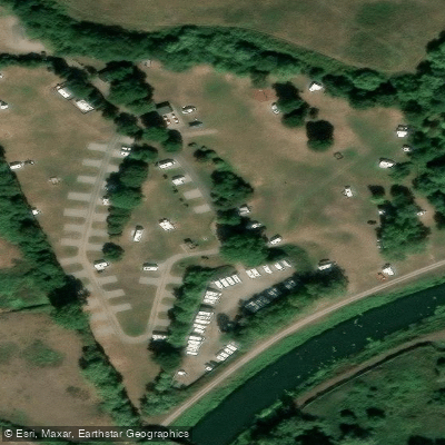
Learn how to get on River Mole. Uncover great paddling access points, boat ramps, and all the facilities you need for an unforgettable day on the water. Some locations shown may border or include private property. Always check property boundaries and applicable regulations before visiting. PaddleWays's Public & Private Land layer can help you plan your access with confidence.
Paddle smarter with real-time insights
Whether you're en route and conditions shift or you're looking for the best spot based on current flows, we enable you to make informed decisions on the fly.








Find Places to Paddle

Over 400,000 Places to Paddle
Every user gets free access to launch points, boat ramps, and public property parcels.


Water and weather conditions (10 day forecast)
See the best times to paddle River Mole and check the forecast before you go.
Esher
All Flow Stations
Paddling near River Mole
Explore England waters
Top paddling waters
No waters available right now.
Popular Cities
Loading popular cities...
Explore near River Mole

Smarter Paddling Starts in the App.
Paddleways gives you everything you need to plan smarter, paddle better, and own every trip from first launch to takeout.