RIBBLE
- Saltwater
- Estuary
RIBBLE
- Saltwater
- Estuary
- Sq. miles
- 16
- Boat Ramps
- 0
- Access Points
- 0
- Campsites
- 0
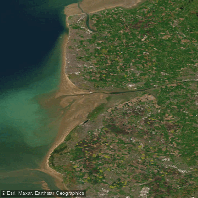
The River Ribble in Lancashire is a 75-mile river flowing west from its source near the Ribblehead Viaduct to the Irish Sea at Lytham. It offers a wide range of paddling conditions, from flat sections suitable for exploration to whitewater. The river's character varies significantly by section. The stretch from Helwith Bridge to Settle is the most changeable, with grades ranging from 3 to 5+ in high water, while the rest of the river is generally Grade 2-3. Paddlers must be aware of two mandatory portages at Stainforth Force and Settle Weir. A popular and picturesque day trip is the 13km (8-mile) section from Clitheroe to Ribchester, which typically takes 3-4 hours. Another favored access point for a leisurely paddle is at Edisford Bridge near Clitheroe, noted for its wide, shallow water and a stony beach for easy entry and exit. The river holds historical significance, with Neolithic, Saxon, and Viking artifacts, including the large Cuerdale Hoard of Viking silver, having been discovered along its banks. The surrounding Ribble Valley area is lush and picturesque. Several local paddling clubs, such as Ribble Canoe Club and Clitheroe Canoe Club, operate in the region, offering instruction, equipment hire, and organized trips, indicating a supportive community for paddlers of all abilities.
Water access, boat ramps & amenities
Learn how to get on RIBBLE. Uncover great paddling access points, boat ramps, and all the facilities you need for an unforgettable day on the water. Some locations shown may border or include private property. Always check property boundaries and applicable regulations before visiting. PaddleWays's Public & Private Land layer can help you plan your access with confidence.
Paddle smarter with real-time insights
Whether you're en route and conditions shift or you're looking for the best spot based on current flows, we enable you to make informed decisions on the fly.








Find Places to Paddle

Over 400,000 Places to Paddle
Every user gets free access to launch points, boat ramps, and public property parcels.


Tides, wind & water conditions (10 day forecast)
On open water, wind and tide matter as much as the weather. See the best times to paddle RIBBLE and check the marine forecast before you launch.
Loading tide predictions…
Paddling near RIBBLE
River Mersey
River Dee
Mersey Mouth
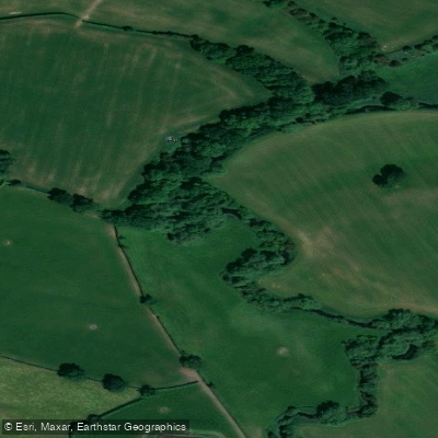
River Weaver
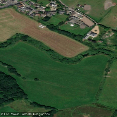
River Douglas

MERSEY
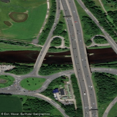
River Ribble
River Mersey
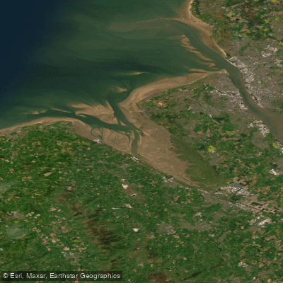
Dee (N. Wales)
Afon Ceiriog
Explore England waters
Top paddling waters
No waters available right now.
Popular Cities
Loading popular cities...
Explore near RIBBLE

Smarter Paddling Starts in the App.
Paddleways gives you everything you need to plan smarter, paddle better, and own every trip from first launch to takeout.