River Dart
River Dart
- Boat Ramps
- 2
- Access Points
- 9
- Campsites
- 8
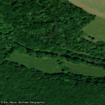
The River Dart in Devon flows from Dartmoor through a varied landscape, offering paddling experiences ranging from technical whitewater to gentle tidal estuary. The river is broadly divided into distinct sections with differing character and difficulty levels. The upper section runs below Dartmeet bridge to Newbridge, while the middle and lower sections extend from Newbridge and Poundsgate down to Totnes weir. Below Totnes, the river becomes tidal, continuing through to Dartmouth and the sea.
Paddling on the Dart is subject to a seasonal restriction: canoeing and kayaking are only permitted from 1st October to the end of March. There is no paddling allowed during the summer months. This restriction applies to both the upper section (Dartmeet to Newbridge) and the middle/lower section (Newbridge to Totnes weir). Paddlers are also prohibited from paddling above Dartmeet on the East and West Dart and any tributaries, as these areas contain legally protected salmon spawning redds and disturbing them is a criminal offence.
The loop section between Newbridge and Holne Bridge is graded 2–3 and is considered suitable for intermediate paddlers with appropriate skills. The lower section is graded 2, making it accessible to beginners developing their first whitewater experience. Holne Weir, on the loop section, is a Paddle UK-owned access and egress point purchased in 1991 to secure paddler access. The site is shared with anglers — Holne Weir is known for sea trout — and paddlers are asked to minimise noise and disturbance. Water quality monitoring at Holne Weir is conducted by Friends of the River Dart, with regular checks for E. coli and Enterococci levels.
Egress points on the upper and middle river include Dartmeet, Newbridge, Waterworks Bridge, Holne Weir (river left bank, limited parking), and Totnes. The egress at Holne Bridge itself is closed. Parking for the Newbridge area is available through River Dart Country Park, with a day admission fee required.
Below Totnes weir, the tidal section requires planning around tidal conditions. Launch options in Totnes include a slipway at Longmarsh car park and a pontoon just above the weir on the Dartington Estate access path. The tidal river passes landmarks including Dittisham, Britannia Royal Naval College, a steam railway, and Dartmouth. Wildlife along the river includes herons and seals. The river can rise very quickly after heavy rain, which is an important safety consideration throughout the system.
Water access, boat ramps & amenities
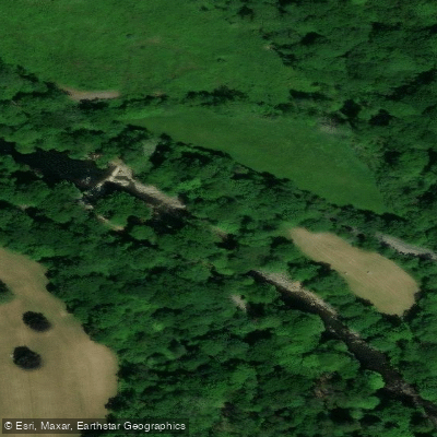
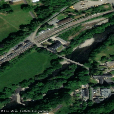
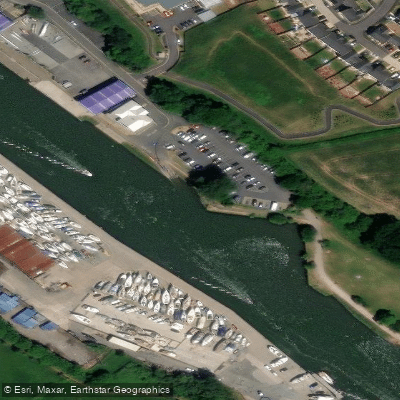
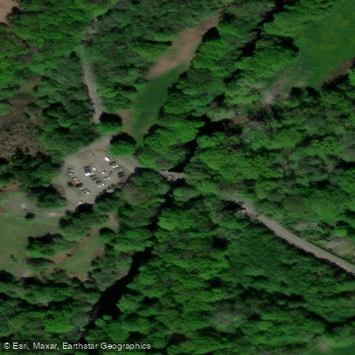
Learn how to get on River Dart. Uncover great paddling access points, boat ramps, and all the facilities you need for an unforgettable day on the water. Some locations shown may border or include private property. Always check property boundaries and applicable regulations before visiting. PaddleWays's Public & Private Land layer can help you plan your access with confidence.
Paddle smarter with real-time insights
Whether you're en route and conditions shift or you're looking for the best spot based on current flows, we enable you to make informed decisions on the fly.








Find Places to Paddle

Over 400,000 Places to Paddle
Every user gets free access to launch points, boat ramps, and public property parcels.


Water and weather conditions (10 day forecast)
See the best times to paddle River Dart and check the forecast before you go.
Austins Bridge
Paddling near River Dart
River Taff
River Axe

Bristol Channel
River Parrett
Congresbury Yeo
Bristol Channel Inner North
River Brue
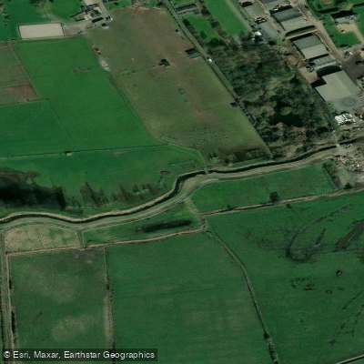
Land Yeo
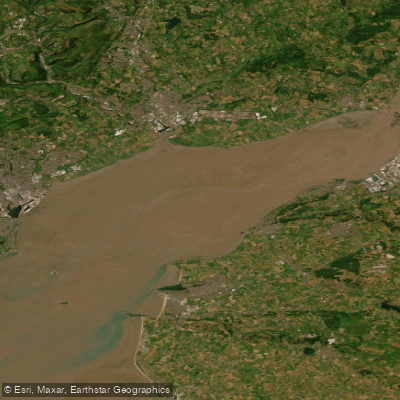
Severn Lower
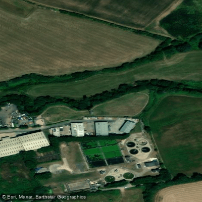
River Tone
Explore England waters
Top paddling waters
No waters available right now.
Popular Cities
Loading popular cities...
Explore near River Dart
Access points
Nearby waters
More in England

Smarter Paddling Starts in the App.
Paddleways gives you everything you need to plan smarter, paddle better, and own every trip from first launch to takeout.