River Plym
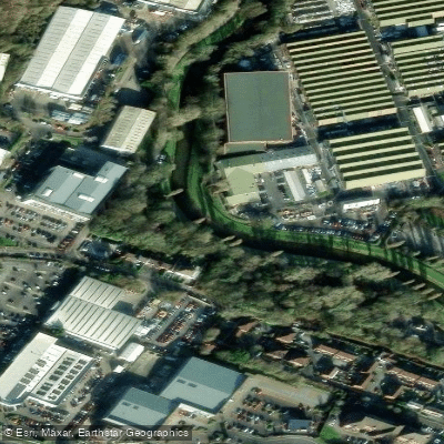
River Plym
- Boat Ramps
- 8
- Access Points
- 3
- Campsites
- 3
The River Plym rises on Dartmoor in Devon, England, flowing southwest to meet the River Meavy before continuing south toward Plymouth Sound. The city of Plymouth itself takes its name from this river, which tumbles through a landscape of rocks, pools, and waterfalls carved from the Dartmoor terrain.
The river is well regarded among paddlers, with the upper section from Cadover Bridge to Shaugh Bridge considered the most technically demanding stretch. The British Canoe Union has described this section as the hardest part of the river to navigate, featuring pool drops that are not recommended for novices. It has been characterized as one of the best Grade 5 runs in England. The lower sections from Shaugh Bridge to Bickleigh Bridge are more forgiving past the first rapid, provided water levels are adequate.
Water levels are closely tied to rainfall. The Plym is typically one of the first rivers to rise during heavy rain and one of the first to drop afterward, making timing critical. Experienced paddlers monitor weather conditions carefully before committing to a run, particularly on the upper section. Combining a Plym run with the Upper Dart and River Erme is noted as a way to put together a full day of high-quality paddling in the region.
The river passes through varied Dartmoor scenery, with historic bridges and woodland adding character to the corridor. The Plym Valley Railway runs alongside a section of the river. The waterway also supports brown trout, sea trout, and salmon, with angling managed largely by the Plymouth and District Freshwater Angling Association across both upper and lower reaches. Paddlers should be aware of the presence of anglers, particularly on the lower sections.
Water access, boat ramps & amenities
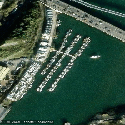
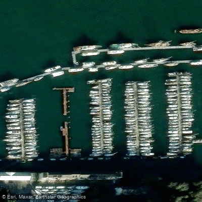
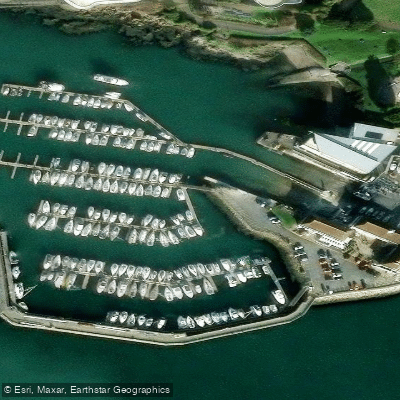
Learn how to get on River Plym. Uncover great paddling access points, boat ramps, and all the facilities you need for an unforgettable day on the water. Some locations shown may border or include private property. Always check property boundaries and applicable regulations before visiting. PaddleWays's Public & Private Land layer can help you plan your access with confidence.
Paddle smarter with real-time insights
Whether you're en route and conditions shift or you're looking for the best spot based on current flows, we enable you to make informed decisions on the fly.








Find Places to Paddle

Over 400,000 Places to Paddle
Every user gets free access to launch points, boat ramps, and public property parcels.


Water and weather conditions (10 day forecast)
See the best times to paddle River Plym and check the forecast before you go.
Carnwood
Paddling near River Plym
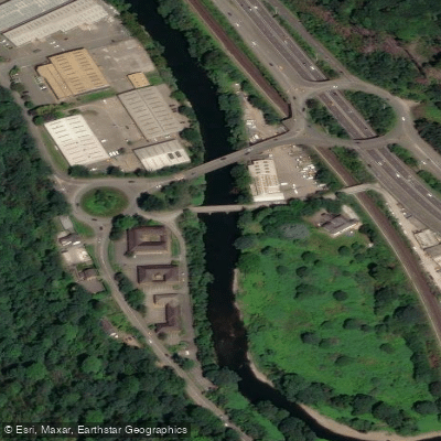
River Taff
River Axe

Bristol Channel
River Parrett
Congresbury Yeo
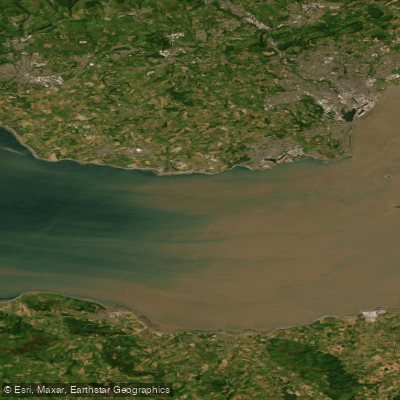
Bristol Channel Inner North
River Brue
Land Yeo
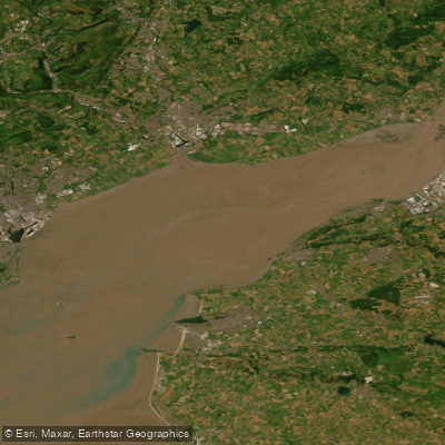
Severn Lower
River Tone
Explore England waters
Top paddling waters
No waters available right now.
Popular Cities
Loading popular cities...
Explore near River Plym
Access points
Nearby waters
More in England

Smarter Paddling Starts in the App.
Paddleways gives you everything you need to plan smarter, paddle better, and own every trip from first launch to takeout.