River Taw
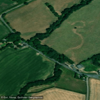
River Taw
- Boat Ramps
- 1
- Access Points
- 0
- Campsites
- 1
The River Taw rises on the slopes of Dartmoor and flows approximately 45 miles (72 km) northward through Devon countryside before reaching the Bristol Channel. Its tributaries include the River Mole, the Lapford Yeo, and the Little Dart River, which join along the middle course. The river passes through numerous small towns and villages, with the Tarka Trail — named after Henry Williamson's 1927 novel "Tarka the Otter" — following much of its course.
The upper section between Belstone and Sticklepath offers grade 4 whitewater, making it suitable for experienced paddlers seeking technical challenge. Further downstream, the stretch from Eggesford to Umberleigh (approximately 13.6 miles) is a popular touring route, though paddlers should be aware of a troublesome weir near Eggesford. The river runs with grade 1–2 rapids through much of its middle course, keeping interest up without demanding advanced skills. The river becomes tidal at Newbridge, roughly 19 km (12 miles) from the sea, and from that point paddlers must consult tide timetables and pay close attention to wind strength and direction, as the estuary is open and exposed.
Access and egress can be challenging in places. Around Umberleigh, private land borders much of the riverbank, with "private, no entry" signage and physical deterrents discouraging casual landing. Umberleigh does have a railway station within a few hundred yards of the river, making a one-way paddle from Eggesford a practical option using the train for the return. Barnstaple serves as a launch point for tidal paddling, with spring tides capable of pushing paddlers several miles upstream.
Wildlife along the Taw is a notable feature of the experience. Dippers are particularly abundant and frequently seen bobbing on mid-river stones or in flight. Herons and kingfishers are regularly spotted, and the tidal estuary supports large numbers of wading birds including lapwings, curlews, and redshanks, with counts sometimes exceeding 20,000 birds. Spoonbills have also been recorded on the estuary. Several stretches of the river are designated Sites of Special Scientific Interest (SSSI), and the Taw estuary forms part of a UNESCO Biosphere Reserve.
The valley narrows and becomes heavily wooded in places, providing shade but also dropping temperatures noticeably in cold weather. The middle and lower river passes through rolling agricultural countryside dominated by pasture, cultivated fields, and woodland.
Water access, boat ramps & amenities
Learn how to get on River Taw. Uncover great paddling access points, boat ramps, and all the facilities you need for an unforgettable day on the water. Some locations shown may border or include private property. Always check property boundaries and applicable regulations before visiting. PaddleWays's Public & Private Land layer can help you plan your access with confidence.
Paddle smarter with real-time insights
Whether you're en route and conditions shift or you're looking for the best spot based on current flows, we enable you to make informed decisions on the fly.








Find Places to Paddle

Over 400,000 Places to Paddle
Every user gets free access to launch points, boat ramps, and public property parcels.


Water and weather conditions (10 day forecast)
See the best times to paddle River Taw and check the forecast before you go.
Newnham Bridge
All Flow Stations
Paddling near River Taw
River Taff
Afon Tawe
Bristol Channel Outer North
River Exe
River Barle

Bristol Channel
River Axe
River Parrett
Bristol Channel Inner North
River Tone
Explore England waters
Top paddling waters
No waters available right now.
Popular Cities
Loading popular cities...
Explore near River Taw

Smarter Paddling Starts in the App.
Paddleways gives you everything you need to plan smarter, paddle better, and own every trip from first launch to takeout.