River Witham
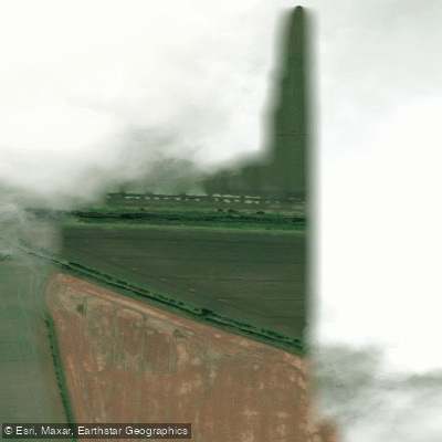
River Witham
- Boat Ramps
- 1
- Access Points
- 1
- Campsites
- 3
The River Witham flows through Lincolnshire in a broadly eastward direction, running from Lincoln to Boston before emptying into the North Sea via the Wash. The navigable section from Brayford Wharf in Lincoln to Boston covers approximately 36 miles and is characterised by flat, rural fenland terrain throughout. The river has been used as a navigation since Roman times and connects with the Fossdyke Canal at Lincoln.
The paddling character is touring-oriented — flat water with no significant whitewater, making it well suited to canoes, kayaks, and stand-up paddleboards. There are five locks along the route, though portages are described as manageable. The main structural hazard is the High Bridge (known locally as the Glory Hole) in Lincoln, a medieval arch approximately 4.6 metres wide and 2.6 metres high at normal water levels. This passage becomes unnavigable during flood conditions and requires careful attention at all times. A licence is required to paddle the river; Paddle UK membership covers over 4,500 km of waterways in England and Wales and can be obtained for between £29 and £60 per year.
Notable landmarks along the route include Lincoln Cathedral, visible from the water and offering an unusual perspective on the city. The Glory Hole itself — the only British bridge still bearing secular medieval buildings — is a historically significant feature. At Fiskerton, the Fen Nature Reserve provides wetland and reed habitats supporting bitterns, marsh harriers, and the rare water parsnip. Further east, the Boston Stump (St Botolph's Church tower, 81 metres tall) becomes a prominent landmark on the otherwise flat horizon, particularly striking at sunset. At Anton's Gowt, paddlers can access the Witham Navigable Drains, a network of backwater channels not managed by the Canal & River Trust.
The area around Dry Doddington and Long Bennington offers accessible put-in points near road bridges with parking available. The Water Rail Way, a walking and cycling path following the river corridor on a disused railway line, runs alongside much of the route between Lincoln and Boston, providing a useful reference for navigation and access planning.
Water access, boat ramps & amenities
Learn how to get on River Witham. Uncover great paddling access points, boat ramps, and all the facilities you need for an unforgettable day on the water. Some locations shown may border or include private property. Always check property boundaries and applicable regulations before visiting. PaddleWays's Public & Private Land layer can help you plan your access with confidence.
Paddle smarter with real-time insights
Whether you're en route and conditions shift or you're looking for the best spot based on current flows, we enable you to make informed decisions on the fly.








Find Places to Paddle

Over 400,000 Places to Paddle
Every user gets free access to launch points, boat ramps, and public property parcels.


Water and weather conditions (10 day forecast)
See the best times to paddle River Witham and check the forecast before you go.
North Hykeham
All Flow Stations
Paddling near River Witham
River Don
River Rother

HUMBER UPPER
River Derwent

River Dearne

HUMBER MIDDLE
River Wye
River Ashop

MERSEY
River Idle
Explore England waters
Top paddling waters
No waters available right now.
Popular Cities
Loading popular cities...
Explore near River Witham

Smarter Paddling Starts in the App.
Paddleways gives you everything you need to plan smarter, paddle better, and own every trip from first launch to takeout.