WELLAND
- Saltwater
- Estuary
WELLAND
- Saltwater
- Estuary
- Sq. miles
- 0.5
- Boat Ramps
- 0
- Access Points
- 0
- Campsites
- 0
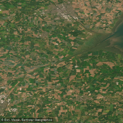
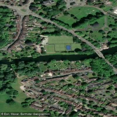
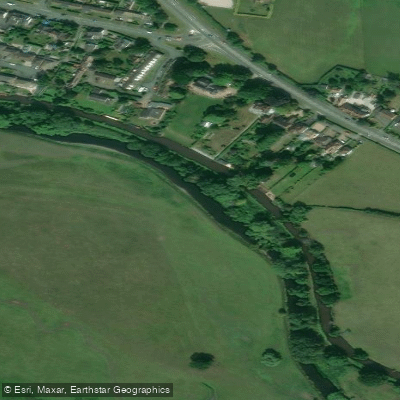
The River Welland is a 105-kilometre lowland river flowing through several counties before reaching its tidal estuary in Lincolnshire at The Wash. For paddlers, the river's character changes significantly along its length. In its upper, non-tidal reaches, such as at the informal Freeman's Meadow put-in near Stamford, the river has a low current and a shallow, beach-like edge suitable for launching canoes and kayaks. Access here is via a steep path with rough steps. Navigation on the non-tidal Welland is managed by the Environment Agency, and a licence from them or membership in British Canoeing is required. Canoes and paddle craft are welcome on the rivers Welland and Glen in the Spalding and Crowland areas. The river eventually flows into the Fosdyke Wash, a coastal estuary on The Wash, where it becomes a saltwater feature subject to tidal influences. Paddlers must be aware of the significant transition from a gentle inland river to an exposed coastal environment with tidal currents, wind fetch across The Wash, and potential commercial boat traffic, especially near the Port of Fosdyke. The river passes through several towns including Market Harborough, Stamford, Crowland, and Spalding, offering a mix of rural and urban scenery. Historically, it was a significant drainage and navigation channel for the Fens, with features like the old Stamford Canal, and modern flood control works like the Coronation Channel near Spalding shape its course.
Water access, boat ramps & amenities
Learn how to get on WELLAND. Uncover great paddling access points, boat ramps, and all the facilities you need for an unforgettable day on the water. Some locations shown may border or include private property. Always check property boundaries and applicable regulations before visiting. PaddleWays's Public & Private Land layer can help you plan your access with confidence.
Paddle smarter with real-time insights
Whether you're en route and conditions shift or you're looking for the best spot based on current flows, we enable you to make informed decisions on the fly.








Find Places to Paddle

Over 400,000 Places to Paddle
Every user gets free access to launch points, boat ramps, and public property parcels.


Tides, wind & water conditions (10 day forecast)
On open water, wind and tide matter as much as the weather. See the best times to paddle WELLAND and check the marine forecast before you launch.
Loading tide predictions…
Paddling near WELLAND
Explore England waters
Top paddling waters
No waters available right now.
Popular Cities
Loading popular cities...
Explore near WELLAND
Nearby waters
More in England

Smarter Paddling Starts in the App.
Paddleways gives you everything you need to plan smarter, paddle better, and own every trip from first launch to takeout.