River Derwent
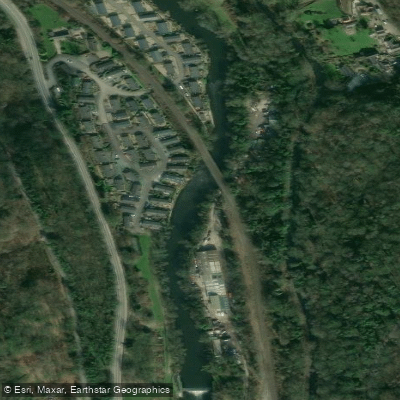
River Derwent
- Boat Ramps
- 0
- Access Points
- 5
- Campsites
- 5
The River Derwent in Derbyshire runs for 55 miles from Ladybower Reservoir in the north to its confluence with the River Trent at Shardlow, south of Derby. For roughly half its course it passes through the Peak District National Park, flowing through the World Heritage Site of the Derwent Valley, past Matlock and Cromford, and on through Derby. The river is physically navigable by canoe or kayak along its entire length, but access rights are heavily contested along much of the upper and middle sections.
Access and legal standing are the defining concerns for paddlers on this river. Only a 1km section can currently be paddled without risk of confrontation regarding rights of access. The stretch through the Peak District National Park is particularly disputed, and paddlers are frequently challenged on the water. The short section between Darley Bridge and Matlock is paddled with some regularity, though even this has been subject to dispute. From Darley Abbey downstream to the confluence with the Trent, paddlers can enjoy good access, and this lower section is popular with local canoe clubs and commercial activity providers.
In terms of character, the upper sections from Bamford to Calver offer a 7-mile stretch with playwaves and a grade 3 finish. The river grades generally range from 1 to 3 throughout its course. Multiple weirs are present on several sections, and paddlers must check river levels and inspect weirs before running them. The weir at Derby City should be portaged, as should weirs at Raynesway and Borrowash, where portages can be tricky. The 12-mile stretch from Darley Abbey to the Trent consists of easier grade 1 and 2 water with weirs. Near Cromford, the river is joined by the Cromford Canal, on which paddlers have limited access by permission from Derbyshire County Council, with restrictions on numbers.
Paddlers considering any section above Darley Abbey should research current access arrangements carefully and be prepared for potential challenges from landowners. British Canoeing maintains that a public right of navigation exists at common law on physically navigable rivers, but this position is firmly rejected by others, leaving the legal situation unresolved.
Water access, boat ramps & amenities
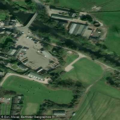
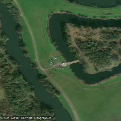
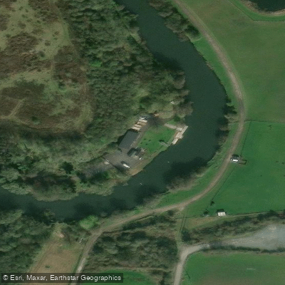
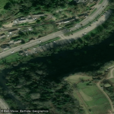
Learn how to get on River Derwent. Uncover great paddling access points, boat ramps, and all the facilities you need for an unforgettable day on the water. Some locations shown may border or include private property. Always check property boundaries and applicable regulations before visiting. PaddleWays's Public & Private Land layer can help you plan your access with confidence.
Paddle smarter with real-time insights
Whether you're en route and conditions shift or you're looking for the best spot based on current flows, we enable you to make informed decisions on the fly.








Find Places to Paddle

Over 400,000 Places to Paddle
Every user gets free access to launch points, boat ramps, and public property parcels.


Water and weather conditions (10 day forecast)
See the best times to paddle River Derwent and check the forecast before you go.
Chatsworth
All Flow Stations
Paddling near River Derwent




Explore England waters
Top paddling waters
No waters available right now.
Popular Cities
Loading popular cities...
Explore near River Derwent
Access points
Nearby waters
More in England

Smarter Paddling Starts in the App.
Paddleways gives you everything you need to plan smarter, paddle better, and own every trip from first launch to takeout.