River Welland
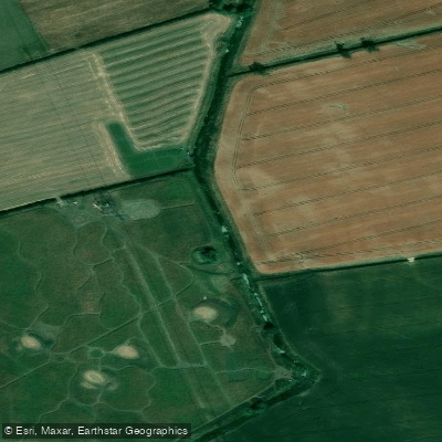
River Welland
- Boat Ramps
- 0
- Access Points
- 1
- Campsites
- 0
The River Welland is a lowland river in eastern England, approximately 65 miles (105 km) long, rising in the Hothorpe Hills at Sibbertoft in Northamptonshire and flowing northeast through Market Harborough, Stamford, and Spalding before reaching The Wash near Fosdyke. It passes through Northamptonshire, Leicestershire, Rutland, and Lincolnshire, and is a key waterway in the flat fenland landscape of South Holland. Much of the river is characterised by lush green banks and hedgerows, and the lower reaches pass through the washlands — wide floodplain areas designed to absorb tidal surges and prevent flooding.
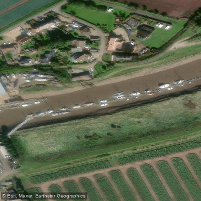
The navigable section is managed by the Environment Agency. Canoes and light boats can access the river from Stamford, with the stretch from Stamford to Peakirk (approximately 12 miles) taking around two days by canoe. From Peakirk to Spalding is roughly 14 miles, with a cruising time of about seven hours. Navigation is possible as far upstream as Crowland, and boats with very shallow drafts can reach West Deeping Bridge. A broken lock prevents passage beyond a weir further upstream. The River Glen joins the tidal Welland at Surfleet Sluice and is navigable for 11.5 miles to Tongue End.
Paddlers require either an Environment Agency Anglian Region licence or British Canoeing membership to paddle the Welland. The Environment Agency licence is available at £5.40 per day, £11.30 per week, £18.70 for 15 days, £21.40 per month, or £47.70 per year. There are three public slipways on the Rivers Welland and Glen, and a navigation key is required to access the traffic control barriers at these sites; keys can be obtained by contacting the Environment Agency directly. The lock at Fulney and the tidal gates at Surfleet are both operated by the Environment Agency and must be arranged in advance. There are no trip boats or hire boats on the rivers.
Wildlife varies along the river's length, with faster upstream sections supporting trout and slower downstream reaches home to perch. The estuary and flat areas near Fosdyke attract wading birds and migratory species. The river has considerable historical depth, having received one of the earliest Acts of Parliament for river improvements in 1571 during the reign of Elizabeth I.
Water access, boat ramps & amenities
Learn how to get on River Welland. Uncover great paddling access points, boat ramps, and all the facilities you need for an unforgettable day on the water. Some locations shown may border or include private property. Always check property boundaries and applicable regulations before visiting. PaddleWays's Public & Private Land layer can help you plan your access with confidence.
Paddle smarter with real-time insights
Whether you're en route and conditions shift or you're looking for the best spot based on current flows, we enable you to make informed decisions on the fly.








Find Places to Paddle

Over 400,000 Places to Paddle
Every user gets free access to launch points, boat ramps, and public property parcels.


Water and weather conditions (10 day forecast)
See the best times to paddle River Welland and check the forecast before you go.
West Deeping
All Flow Stations
Paddling near River Welland
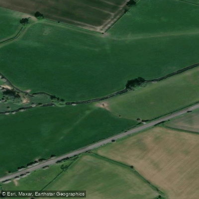
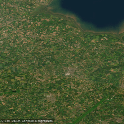
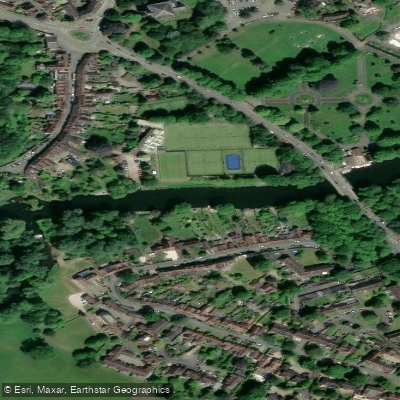
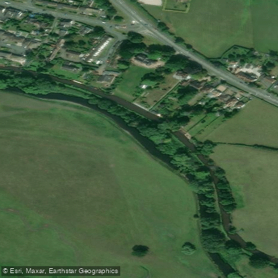
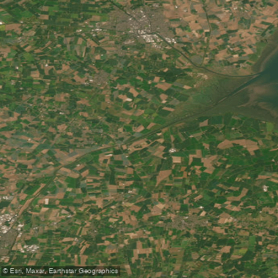
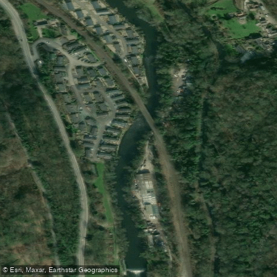
Explore England waters
Top paddling waters
No waters available right now.
Popular Cities
Loading popular cities...
Explore near River Welland
Access points
Nearby waters
More in England

Smarter Paddling Starts in the App.
Paddleways gives you everything you need to plan smarter, paddle better, and own every trip from first launch to takeout.