Bann Foot
Bann Foot
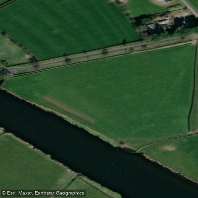
Bannfoot (also historically known as Charlestown) marks the point where the Upper Bann meets Lough Neagh in County Armagh.
The entrance from the lough is notably shallow and lacks navigation markers, meaning entry to the river should not be attempted without local knowledge.
A short distance upstream stand the jetties of the former Bann Ferry, which no longer operates but can still be used for a brief stop.
From there, the villages of Bannfoot on the east bank and Columbkille on the west bank are reachable on foot in around ten minutes.
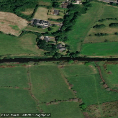
The Upper Bann, though officially abandoned as a navigation in 1954, remains navigable between this point and Whitecoat Point near Portadown, and is regarded as one of the most popular coarse fishing stretches in Europe.
More ways to access Upper Bann
Explore the wonders of Upper Bann! Find excellent paddling spots, easy access to boat ramps, and all the amenities you need for a memorable day by the water. Your adventure starts here.
Water and weather conditions (10 day forecast)
Check the forecast at Bann Foot before you go paddling.
No forecast data available.
Paddling near Bann Foot
Upper Bann
Lough Neagh
Belfast Lough
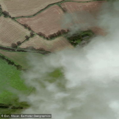
Lagan
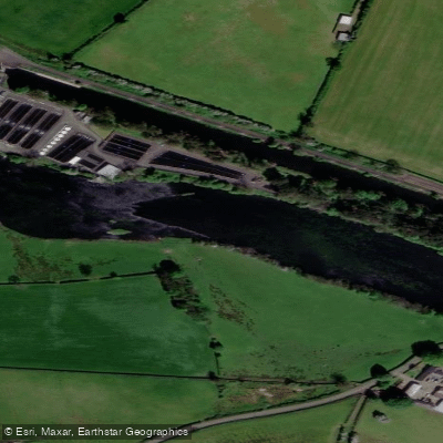
Lower Bann
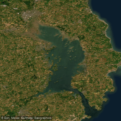
Strangford Lough
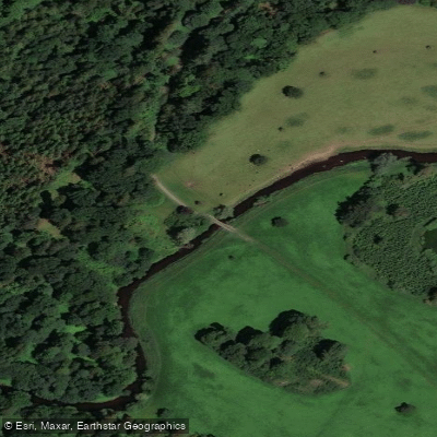
Blackwater
Cusher River
North Channel
Upper Lough Erne
Northern Ireland licenses and regulations
Explore Northern Ireland waters
Top paddling waters
No waters available right now.
Popular Cities
Loading popular cities...
Explore near Bann Foot
On this water
Nearby waters
More in Northern Ireland

Smarter Paddling Starts in the App.
Paddleways gives you everything you need to plan smarter, paddle better, and own every trip from first launch to takeout.