Gweebarra Bay
- Saltwater
- Bay

Gweebarra Bay
- Saltwater
- Bay
- Sq. miles
- 13
- Boat Ramps
- 0
- Access Points
- 0
- Campsites
- 0
Gweebarra Bay is a broad, shallow, sandy bay on the west coast of County Donegal, formed where the River Gweebarra empties into the Atlantic Ocean. The bay is ringed by the villages of Narin, Portnoo, Lettermacaward, and Cor. For paddlers, the primary launch point is the neat little harbour and slipway at Portnoo, which provides direct access to the bay. The bay's character is dominated by its extensive sand flats and estuaries, which drain significantly at low tide. This creates a large tidal range, making tide timing critical for any trip. Paddlers must consult tide tables and plan journeys to avoid being stranded on vast exposed sandbanks or caught in strong tidal currents, particularly in the river estuary and channels. The bay is exposed to the full fetch of the Atlantic Ocean, meaning winds from the west or southwest can quickly build choppy conditions and swell. The north and southeastern corners of the bay are comparatively shallow and drain two large estuaries. A notable feature within the bay is Inishkeel Island, located approximately 250 metres offshore. At low tide, a firm sandbank is exposed, allowing dry-foot access, but it covers quickly as the tide rises. The island holds the ruins of a 6th-century monastic settlement, offering a unique historical destination. The coastline includes several sandy beaches, such as Dooey Beach, which is a known surf break, indicating that a surf zone can form at the bay's entrance, particularly on exposed Atlantic-facing shores. Wildlife includes seals, which are commonly seen swimming and resting in the bay. The surrounding landscape offers dramatic views of the Derryveagh and Glendowan mountains. Given its exposure, the best conditions for paddling are likely during settled weather with light winds, and trips should be planned to paddle with the flooding tide to access the shallower inlets and to avoid fighting strong outgoing currents. There is small boat traffic from anglers, as the bay is noted for inshore fishing.
Water access, boat ramps & amenities
Learn how to get on Gweebarra Bay. Uncover great paddling access points, boat ramps, and all the facilities you need for an unforgettable day on the water. Some locations shown may border or include private property. Always check property boundaries and applicable regulations before visiting. PaddleWays's Public & Private Land layer can help you plan your access with confidence.
Paddle smarter with real-time insights
Whether you're en route and conditions shift or you're looking for the best spot based on current flows, we enable you to make informed decisions on the fly.







Co. Donegal licenses and regulations
No licenses or regulations available for Co. Donegal.
Find Places to Paddle

Over 400,000 Places to Paddle
Every user gets free access to launch points, boat ramps, and public property parcels.


Tides, wind & water conditions (10 day forecast)
On open water, wind and tide matter as much as the weather. See the best times to paddle Gweebarra Bay and check the marine forecast before you launch.
Loading tide predictions…
Paddling near Gweebarra Bay
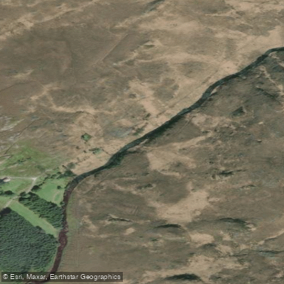
Gweebarra
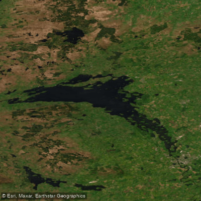
Lower Lough Erne
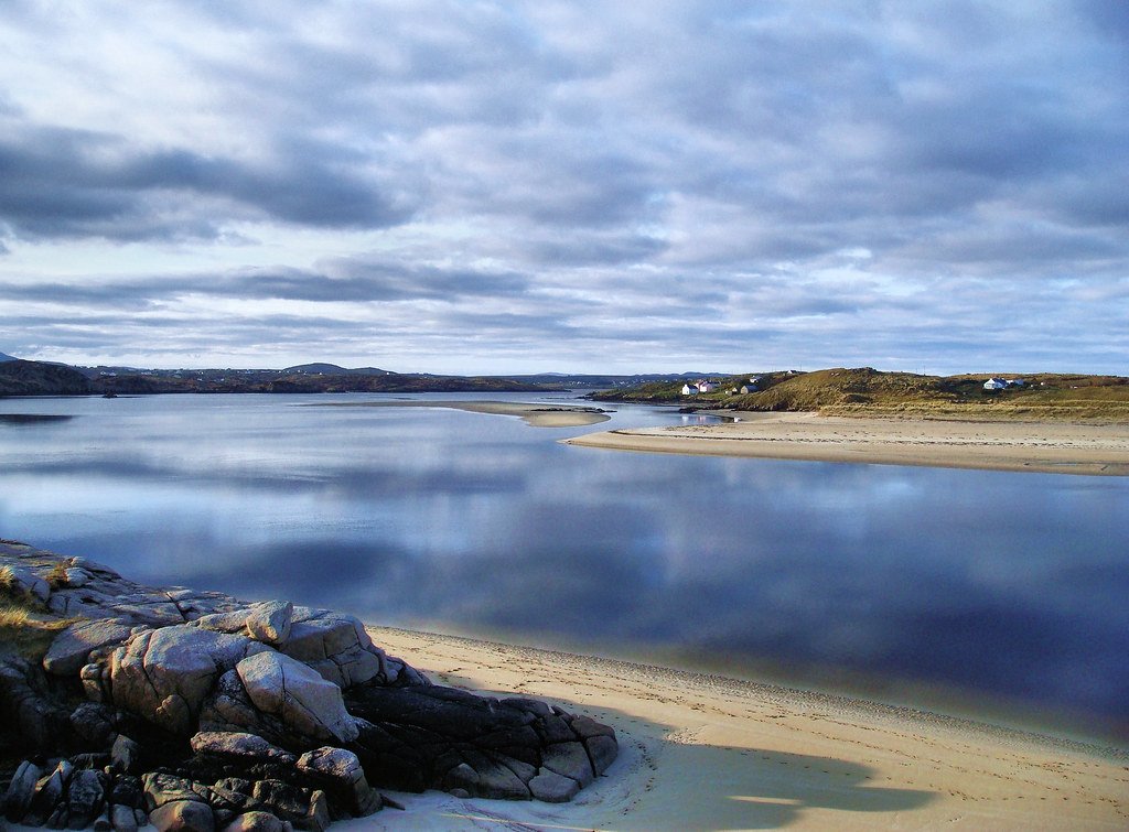
Gweedore Bay
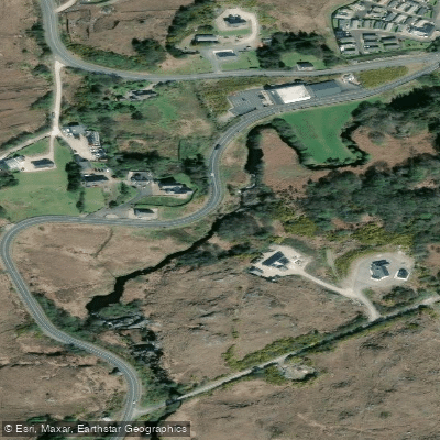
Gweedore
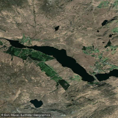
Lough Nacung
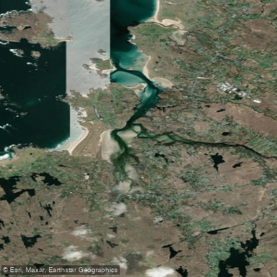
Gweedore Estuary
Lowerymore
Owenwee [Dunlewy]
Lough Melvin
Explore Donegal waters
Top paddling waters
No waters available right now.
Popular Cities
Loading popular cities...
Explore near Gweebarra Bay

Smarter Paddling Starts in the App.
Paddleways gives you everything you need to plan smarter, paddle better, and own every trip from first launch to takeout.