Gweedore Estuary
- Saltwater
- Estuary
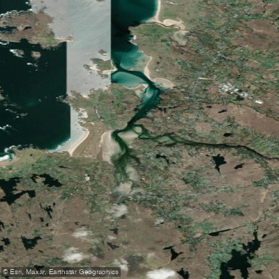
Gweedore Estuary
- Saltwater
- Estuary
- Sq. miles
- 1.7
- Boat Ramps
- 0
- Access Points
- 0
- Campsites
- 0
The Gweedore Estuary is a transitional water body located on the Atlantic coast of County Donegal, within the Gaoth Dobhair parish. It forms the inland extension of Gweedore Bay, a large coastal site stretching towards Bloody Foreland. The estuary receives freshwater input from the Clady River system, which includes the Cronaniv Burn and the Crolly River, ultimately draining into the Atlantic. The estuary's mouth opens into Gweedore Bay, which is part of a Special Area of Conservation. The area is characterized by a rugged coastal landscape with views of the Derryveagh Mountains, including Errigal, to the east. Historical accounts note the estuary was the site of a sea-mine incident in the 20th century, indicative of its exposed maritime location. For paddlers, key access points include Bunbeg Quay, where the Crolly River meets the estuary, and Ballymanus strand, located approximately a mile east of Ballymanus. Glassagh Beach on Gweedore Bay is another noted coastal feature. Paddling here is a coastal, saltwater experience subject to significant Atlantic influences. The estuary and adjacent bay are exposed to open ocean conditions, wind, and swell. Tidal currents are a primary consideration, and paddlers must plan trips around tide stages to avoid strong flows, particularly in the estuary's constricted channels. The fetch across Gweedore Bay can generate choppy conditions, and a surf zone may be present at beach entries like Ballymanus strand. Boat traffic, particularly near Bunbeg Quay, should be anticipated. The water is generally clean, though it is officially monitored as a transitional waterbody. Wildlife is typical of a north Atlantic coastal estuary, with seabirds and marine life present. Facilities are limited to basic coastal access points; paddlers must be self-sufficient. This area offers a wild, exposed paddling experience suited for those with skills in handling tidal currents, wind, and potential surf, set against a backdrop of Donegal's dramatic mountain and coastal scenery.
Water access, boat ramps & amenities
Learn how to get on Gweedore Estuary. Uncover great paddling access points, boat ramps, and all the facilities you need for an unforgettable day on the water. Some locations shown may border or include private property. Always check property boundaries and applicable regulations before visiting. PaddleWays's Public & Private Land layer can help you plan your access with confidence.
Paddle smarter with real-time insights
Whether you're en route and conditions shift or you're looking for the best spot based on current flows, we enable you to make informed decisions on the fly.







Co. Donegal licenses and regulations
No licenses or regulations available for Co. Donegal.
Find Places to Paddle

Over 400,000 Places to Paddle
Every user gets free access to launch points, boat ramps, and public property parcels.


Tides, wind & water conditions (10 day forecast)
On open water, wind and tide matter as much as the weather. See the best times to paddle Gweedore Estuary and check the marine forecast before you launch.
Loading tide predictions…
Paddling near Gweedore Estuary
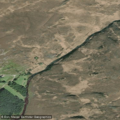
Gweebarra
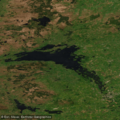
Lower Lough Erne
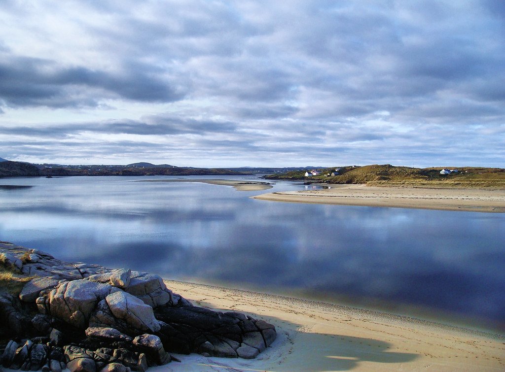
Gweedore Bay
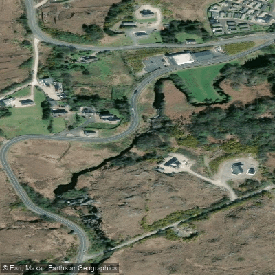
Gweedore
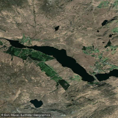
Lough Nacung
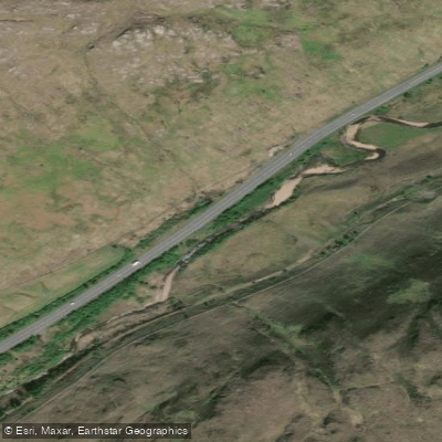
Lowerymore
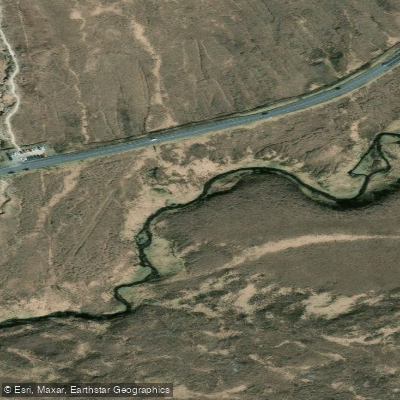
Owenwee [Dunlewy]

Gweebarra Bay
Lough Melvin
Explore Donegal waters
Top paddling waters
No waters available right now.
Popular Cities
Loading popular cities...
Explore near Gweedore Estuary

Smarter Paddling Starts in the App.
Paddleways gives you everything you need to plan smarter, paddle better, and own every trip from first launch to takeout.