Inner Clew Bay
- Saltwater
- Bay
Inner Clew Bay
- Saltwater
- Bay
- Sq. miles
- 25
- Boat Ramps
- 0
- Access Points
- 1
- Campsites
- 0
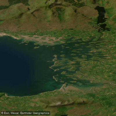
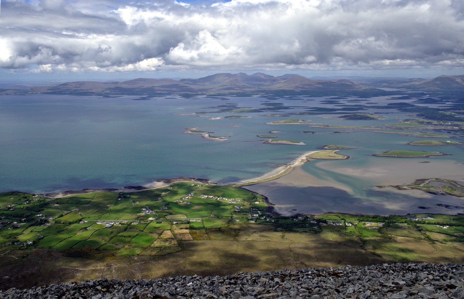
Inner Clew Bay is a large, shallow coastal bay in County Mayo, Ireland, famous for its extensive archipelago said to contain 365 islands. The bay's character is defined by this labyrinthine maze of islands, which creates a complex, sheltered paddling environment with idyllic views. The aesthetic is dramatic, with vistas encompassing the Corraun Peninsula, the Nephin Range, Croagh Patrick, and Connemara, though weather can change rapidly, with localized showers moving across the islands. Paddlers should be aware that the entire inner bay area is very shallow, with a muddy and sandy bottom. This presents a significant hazard, as it is easy to go aground, especially on a falling tide, which can strand a vessel until the next high tide. The area is also busy with marine traffic, including ferries and fish farm vessels, particularly around harbors like Clare Island. There is a tradition of dredging within the bay, primarily for oysters and scallops. Access points for launching include the town of Westport, which has Georgian streetscapes and facilities, and the village of Mulranny, though Mulranny can be exposed to prevailing south-westerly winds. Other potential launch sites are Rosmoney, where the Mayo Sailing Club is based, and the beach resort at Old Head, which has a drying pier. The water body is tidal, and paddlers must plan carefully around the tide cycle to avoid being grounded in the extensive shallows. While the region is on Ireland's west coast, implying cool to cold water year-round, appropriate immersion gear is necessary. The ecological status of Inner Clew Bay has been rated as "Poor," which may indicate water quality concerns. Historically and culturally, the area is rich, featuring sites like St. Brendan's Holy Well by the shore and the pilgrimage mountain of Croagh Patrick overlooking the bay.
Water access, boat ramps & amenities
Learn how to get on Inner Clew Bay. Uncover great paddling access points, boat ramps, and all the facilities you need for an unforgettable day on the water. Some locations shown may border or include private property. Always check property boundaries and applicable regulations before visiting. PaddleWays's Public & Private Land layer can help you plan your access with confidence.
Paddle smarter with real-time insights
Whether you're en route and conditions shift or you're looking for the best spot based on current flows, we enable you to make informed decisions on the fly.







Co. Mayo licenses and regulations
No licenses or regulations available for Co. Mayo.
Find Places to Paddle

Over 400,000 Places to Paddle
Every user gets free access to launch points, boat ramps, and public property parcels.


Tides, wind & water conditions (10 day forecast)
On open water, wind and tide matter as much as the weather. See the best times to paddle Inner Clew Bay and check the marine forecast before you launch.
Loading tide predictions…
Paddling near Inner Clew Bay

Lough Corrib
Lough Mask
Clew Bay
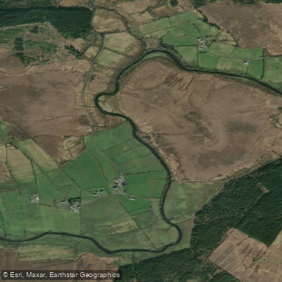
Deel [Crossmolina]

Suck
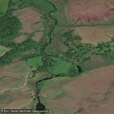
Erriff 32
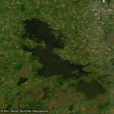
Lough Conn
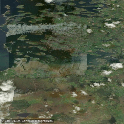
Westport Bay
Bunowen [Louisburgh]
Explore Mayo waters
Top paddling waters
No waters available right now.
Popular Cities
Loading popular cities...
Explore near Inner Clew Bay
Access points
Nearby waters
More in Co. Mayo

Smarter Paddling Starts in the App.
Paddleways gives you everything you need to plan smarter, paddle better, and own every trip from first launch to takeout.