Westport Bay
- Saltwater
- Estuary
Westport Bay
- Saltwater
- Estuary
- Sq. miles
- 5.9
- Boat Ramps
- 0
- Access Points
- 0
- Campsites
- 0
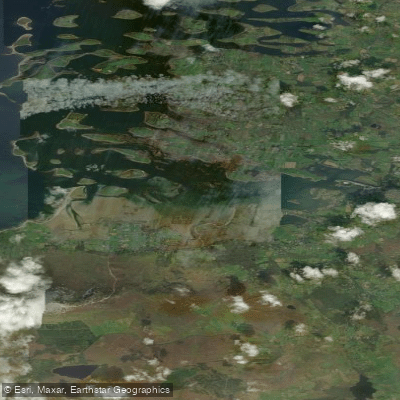
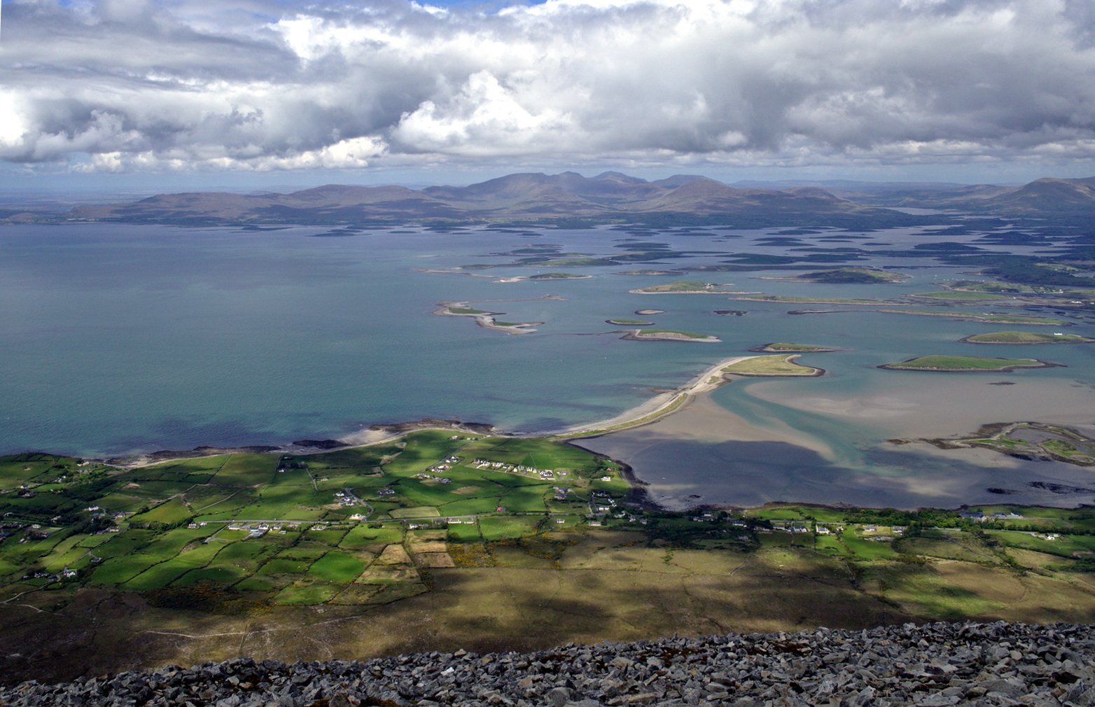
Westport Bay is the inner, southeastern portion of the larger Clew Bay on the Atlantic coast of County Mayo. It is a tidal estuary characterized by a narrow, five-mile-long approach channel leading to Westport Quay. The inner bay is calm and sheltered, making it suitable for paddlers of all levels, particularly when launching from Westport Quay to explore the protected waters with outstanding views of Croagh Patrick. The bay features a maze of small islands, offering numerous anchorages and sheltered spots among the islets. For more exposed coastal kayaking, experienced paddlers can consider trips to Clare Island, which features sea caves and cliffs, though crossing from the mainland requires calm conditions and careful planning. Key launch points include Westport Quay and Pigeon Point. The Mayo Sailing Club at Rosmoney, on the shores of Westport Bay, offers a pontoon, slipway, and other facilities about ten minutes from Westport town. Navigation requires attention as the approach channel is narrow and intricate, with shellfish beds in the bay where anchoring should be avoided. The area is exposed to Atlantic weather systems which can develop quickly, so checking the marine forecast is essential. Tidal currents on this coast can be strong, particularly around headlands, so routes should be planned with the tide. Water temperatures are cool, averaging around 17-18°C in the warmer months, typically requiring a wetsuit.
Water access, boat ramps & amenities
Learn how to get on Westport Bay. Uncover great paddling access points, boat ramps, and all the facilities you need for an unforgettable day on the water. Some locations shown may border or include private property. Always check property boundaries and applicable regulations before visiting. PaddleWays's Public & Private Land layer can help you plan your access with confidence.
Paddle smarter with real-time insights
Whether you're en route and conditions shift or you're looking for the best spot based on current flows, we enable you to make informed decisions on the fly.







Co. Mayo licenses and regulations
No licenses or regulations available for Co. Mayo.
Find Places to Paddle

Over 400,000 Places to Paddle
Every user gets free access to launch points, boat ramps, and public property parcels.


Tides, wind & water conditions (10 day forecast)
On open water, wind and tide matter as much as the weather. See the best times to paddle Westport Bay and check the marine forecast before you launch.
Loading tide predictions…
Paddling near Westport Bay

Lough Corrib
Lough Mask
Clew Bay
Deel [Crossmolina]

Suck
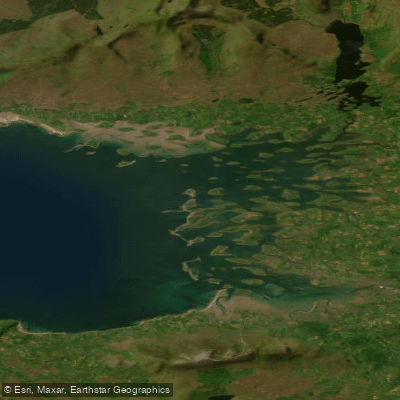
Inner Clew Bay
Erriff 32
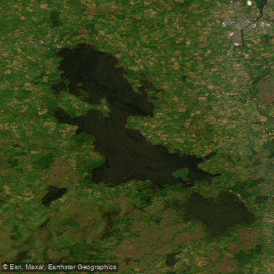
Lough Conn
Bunowen [Louisburgh]
Explore Mayo waters
Top paddling waters
No waters available right now.
Popular Cities
Loading popular cities...
Explore near Westport Bay

Smarter Paddling Starts in the App.
Paddleways gives you everything you need to plan smarter, paddle better, and own every trip from first launch to takeout.