Clew Bay
- Saltwater
- Bay
Clew Bay
- Saltwater
- Bay
- Sq. miles
- 76
- Boat Ramps
- 0
- Access Points
- 0
- Campsites
- 1
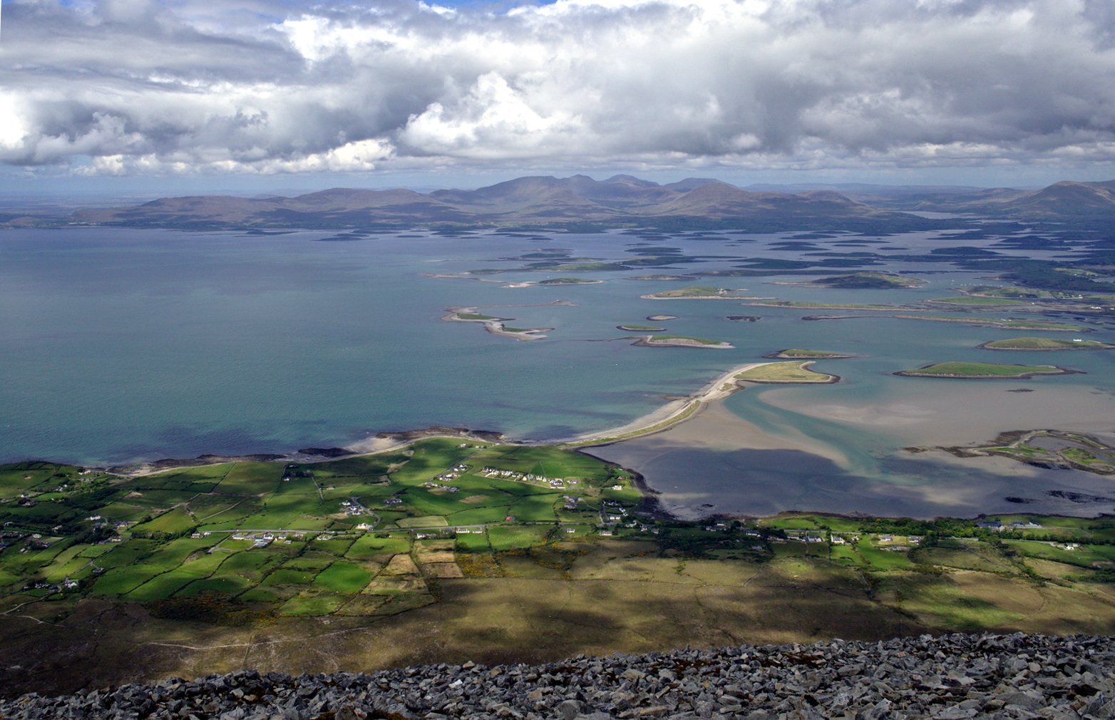
Clew Bay is a large, sheltered bay on the Atlantic coast of County Mayo, dotted with over 100 islands, with local folklore claiming 365. The actual count is 141 named islands, which are partly drowned drumlins formed by glaciers. The bay sits between Croagh Patrick to the south and the Nephin Beg mountains to the north. The inner reaches of the bay are calm, protected, and ideal for beginners and families, with more exposed conditions found near the mouth. The overall character is one of island hopping among uninhabited islands, with views of the distinctive conical peak of Croagh Patrick.
Primary access points for paddlers include the town of Newport, where the Black Oak River flows into the bay, and Westport Quay on the southeastern corner. Commercial kayak and SUP operators are based at Newport and on Collanmore Island, offering guided trips, equipment rental, and high-speed rib transfers. For independent paddlers, a slipway is available at the west end of Roman Island at Westport Quay. The channel into Westport is well-marked, but vessels can only berth alongside the quay at high water, indicating a significant tidal range that must be planned around. The bay is home to seal colonies, and sightings of seals, kingfishers, and otters are common. Notable sights include the remains of old cottages on islands, Dorinish Island (once owned by John Lennon), and Clare Island, the largest island in the bay with Grace O'Malley's castle at its harbour.
The best conditions are on calm days with good light, as grey weather can make the bay appear bleak. The activity is highly weather-dependent. While no specific water temperatures are given, operators provide wetsuits, indicating generally cool water. The bay is noted for rich marine life, including seabirds and dolphins. There are no indicated restrictions specific to paddling, but the presence of cruise boat traffic from Westport Quay and the need to navigate a marked channel suggest paddlers should be aware of other vessels.
Water access, boat ramps & amenities
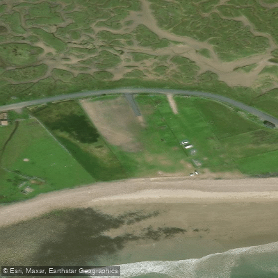
Learn how to get on Clew Bay. Uncover great paddling access points, boat ramps, and all the facilities you need for an unforgettable day on the water. Some locations shown may border or include private property. Always check property boundaries and applicable regulations before visiting. PaddleWays's Public & Private Land layer can help you plan your access with confidence.
Paddle smarter with real-time insights
Whether you're en route and conditions shift or you're looking for the best spot based on current flows, we enable you to make informed decisions on the fly.







Co. Mayo licenses and regulations
No licenses or regulations available for Co. Mayo.
Find Places to Paddle

Over 400,000 Places to Paddle
Every user gets free access to launch points, boat ramps, and public property parcels.


Tides, wind & water conditions (10 day forecast)
On open water, wind and tide matter as much as the weather. See the best times to paddle Clew Bay and check the marine forecast before you launch.
Loading tide predictions…
Paddling near Clew Bay

Lough Corrib
Lough Mask
Deel [Crossmolina]

Suck
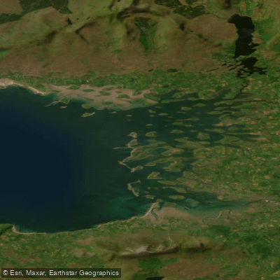
Inner Clew Bay
Erriff 32
Lough Conn
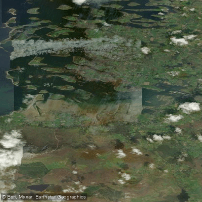
Westport Bay
Bunowen [Louisburgh]
Explore Mayo waters
Top paddling waters
No waters available right now.
Popular Cities
Loading popular cities...
Explore near Clew Bay
Access points
Nearby waters
More in Co. Mayo

Smarter Paddling Starts in the App.
Paddleways gives you everything you need to plan smarter, paddle better, and own every trip from first launch to takeout.