Ōhiwa Harbour
- Saltwater
- Harbor
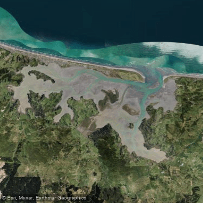
Ōhiwa Harbour
- Saltwater
- Harbor
- Sq. miles
- 10
- Boat Ramps
- 3
- Access Points
- 0
- Campsites
- 2
Ōhiwa Harbour is a large, shallow tidal estuary covering approximately 26 square kilometres between Whakatāne and Ōpōtiki. Its entrance is located at the eastern end of the Ōhope spit. The harbour is predominantly a broad, intertidal zone, with two-thirds of its water volume draining at low tide, exposing up to 80 percent of the harbour bed. This extreme tidal range is the primary consideration for paddlers, as navigating the extensive mudflats is only practical around high tide. A specific launch point is from the water's edge at the bottom of a driveway on Waiotahe Beach, which is only viable within two hours either side of high tide. The main formal access is the Ōhiwa boat ramp on Harbour Road in Ōhope, which provides concrete ramp access to the harbour. Paddlers can explore through significant mangrove forests and under ancient Pōhutukawa trees, offering a scenic and sheltered environment away from the main channels. The harbour contains a number of islands and is considered a significant natural and recreational resource. For safety, paddlers must be acutely aware of the tide schedule to avoid being stranded by the rapid ebb. The harbour has a 5-knot speed limit for all vessels in most areas, which applies to powered craft but indicates generally calm waters for paddlers. However, boat traffic exists, particularly in the defined channel between the Port Ōhope boat ramp and the harbour entrance, which should be crossed with caution. The harbour's aesthetic is one of a large, unspoiled estuary with a mix of sandy shores, mudflats, and coastal vegetation. Freedom camping is not permitted within the harbour or its catchment.
Water access, boat ramps & amenities
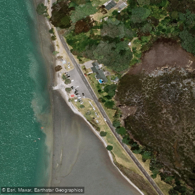
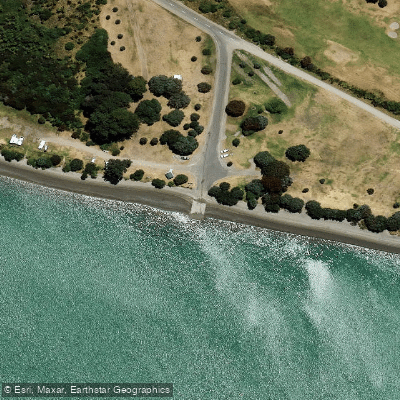
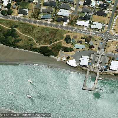
Learn how to get on Ōhiwa Harbour. Uncover great paddling access points, boat ramps, and all the facilities you need for an unforgettable day on the water. Some locations shown may border or include private property. Always check property boundaries and applicable regulations before visiting. PaddleWays's Public & Private Land layer can help you plan your access with confidence.
Paddle smarter with real-time insights
Whether you're en route and conditions shift or you're looking for the best spot based on current flows, we enable you to make informed decisions on the fly.







Bay Of Plenty licenses and regulations
No licenses or regulations available for Bay Of Plenty.
Find Places to Paddle

Over 400,000 Places to Paddle
Every user gets free access to launch points, boat ramps, and public property parcels.


Tides, wind & water conditions (10 day forecast)
On open water, wind and tide matter as much as the weather. See the best times to paddle Ōhiwa Harbour and check the marine forecast before you launch.
Loading tide predictions…
Paddling near Ōhiwa Harbour
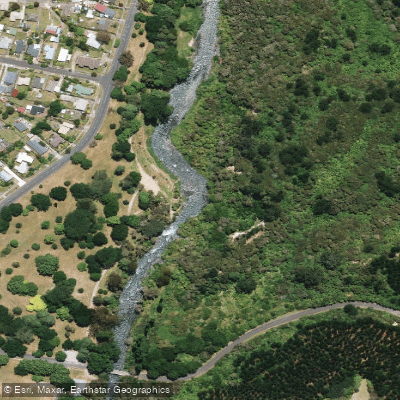
Tarawera River
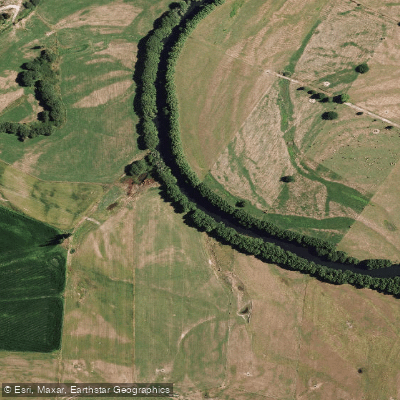
Rangitaiki River
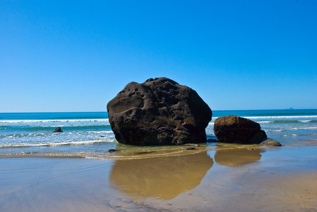
Bay of Plenty
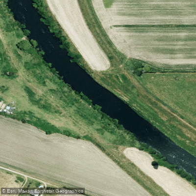
Rangitāiki River
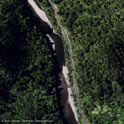
Waioweka River
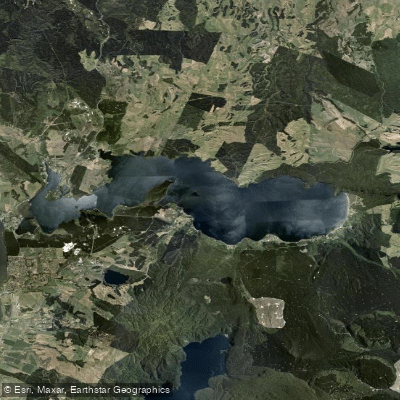
Lake Rotoiti / Te Roto Kite Ā Ihenga I Ariki Ai Kahu
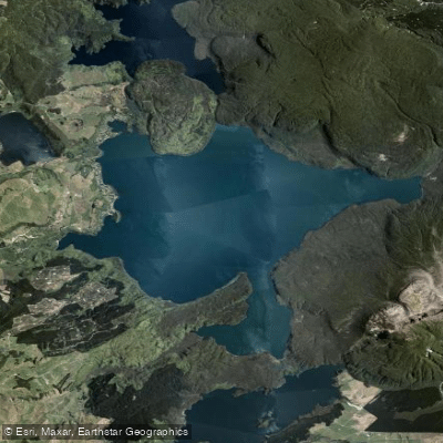
Lake Tarawera
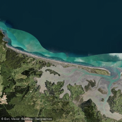
Ōhope Beach
Kaituna River
Explore Bay Of Plenty waters
Top paddling waters
No waters available right now.
Popular Cities
Loading popular cities...
Explore near Ōhiwa Harbour
Nearby waters
More in Bay Of Plenty

Smarter Paddling Starts in the App.
Paddleways gives you everything you need to plan smarter, paddle better, and own every trip from first launch to takeout.