Ōhope Beach
- Saltwater
- Beach
Ōhope Beach
- Saltwater
- Beach
- Sq. miles
- 1.6
- Boat Ramps
- 0
- Access Points
- 0
- Campsites
- 4
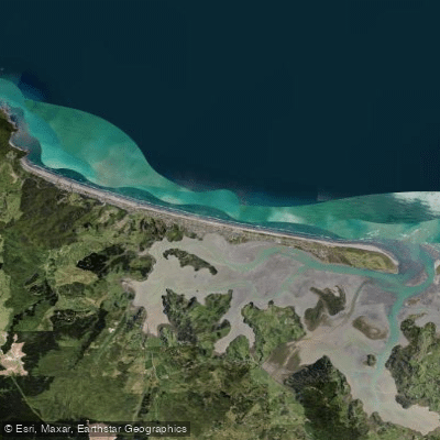
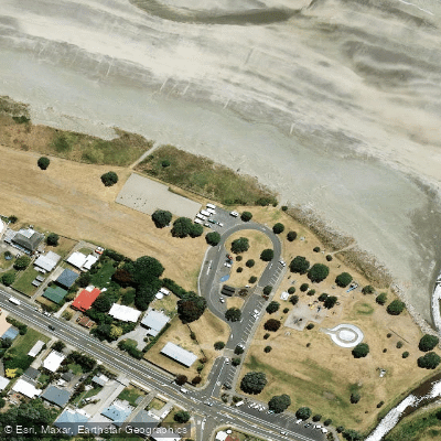
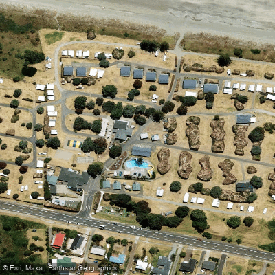
Ōhope Beach is an 11-kilometer stretch of golden sand on the eastern side of the Bay of Plenty, running from West End to the mouth of Ōhiwa Harbour. The beach offers direct ocean access for paddlers, characterized by small rolling waves and conditions considered safe for swimming, indicating a generally manageable shore break for launching and landing kayaks or SUPs. The beach faces northeast, exposing it to the open Pacific Ocean and prevailing winds. A key access point for paddlers is at the eastern end where Harbour Road meets the sandspit forming the western arm of Ōhiwa Harbour. This area provides beach and harbour access, with facilities including the Ōhope Beach Top 10 Holiday Park located at 367 Harbour Road. Parking is available at roadside carparks, such as one near the Tauwhare Pā Scenic Reserve entrance, which offers panoramic views of the harbour and islands. The carry distance from parking areas to the water's edge is short across the sandy beach.
Paddlers can explore the adjacent Ōhiwa Harbour, a sheltered estuary with significant biological importance and bird nesting sites, accessible directly from the eastern end of Ōhope Beach. The harbour features a heritage trail with 13 signposted stops, beginning from the Ōhope boat ramp or Ōhiwa Spit, suitable for kayak or paddleboard exploration. Notable sights from the water include the offshore volcanic islands Whakaari (White Island) and Moutohoroa (Whale Island) on the horizon. The region is noted for being one of New Zealand's sunniest coastal areas. The beach's reputation for safe swimming and popular recreational use suggests generally favorable conditions for paddling during warmer months.
Water access, boat ramps & amenities
Learn how to get on Ōhope Beach. Uncover great paddling access points, boat ramps, and all the facilities you need for an unforgettable day on the water. Some locations shown may border or include private property. Always check property boundaries and applicable regulations before visiting. PaddleWays's Public & Private Land layer can help you plan your access with confidence.
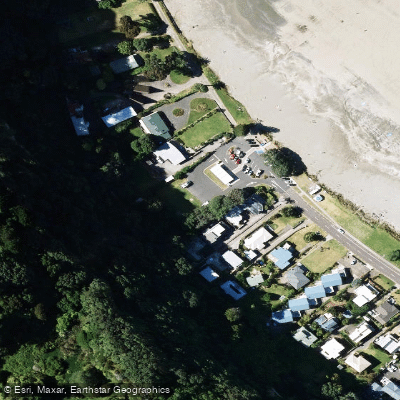
Paddle smarter with real-time insights
Whether you're en route and conditions shift or you're looking for the best spot based on current flows, we enable you to make informed decisions on the fly.







Bay Of Plenty licenses and regulations
No licenses or regulations available for Bay Of Plenty.
Find Places to Paddle

Over 400,000 Places to Paddle
Every user gets free access to launch points, boat ramps, and public property parcels.


Tides, wind & water conditions (10 day forecast)
On open water, wind and tide matter as much as the weather. See the best times to paddle Ōhope Beach and check the marine forecast before you launch.
Loading tide predictions…
Paddling near Ōhope Beach
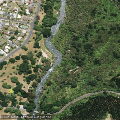
Tarawera River
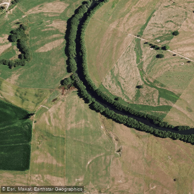
Rangitaiki River
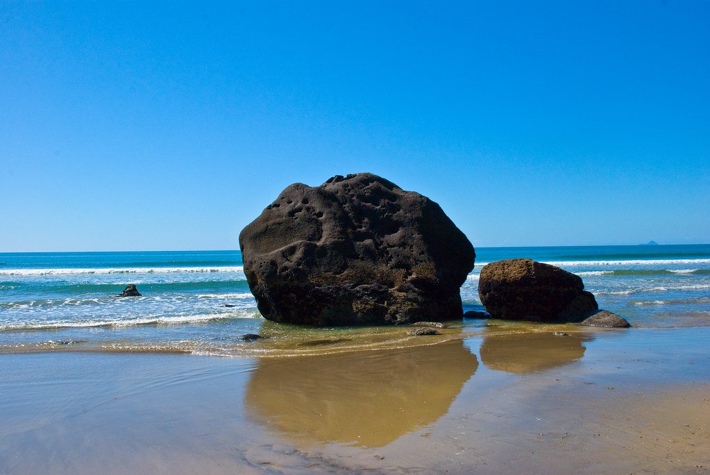
Bay of Plenty
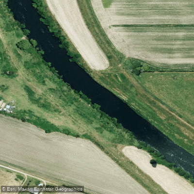
Rangitāiki River
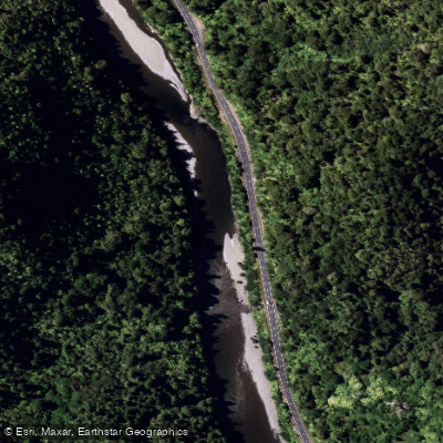
Waioweka River
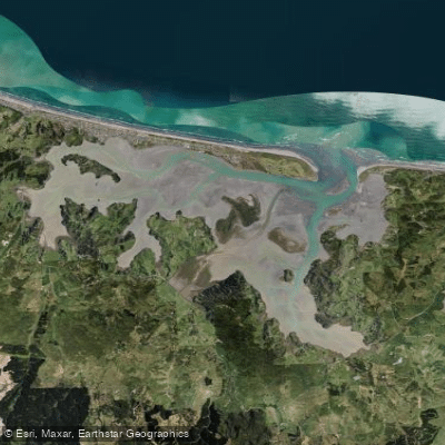
Ōhiwa Harbour
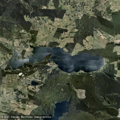
Lake Rotoiti / Te Roto Kite Ā Ihenga I Ariki Ai Kahu
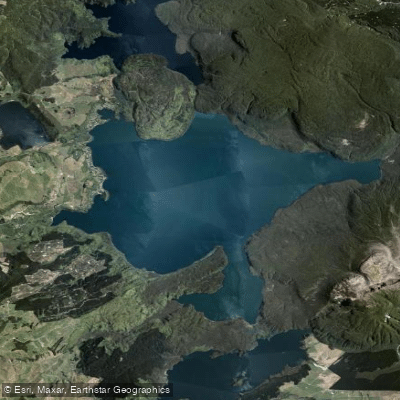
Lake Tarawera
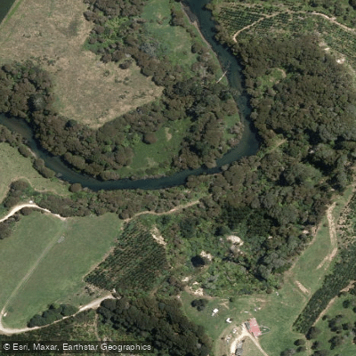
Kaituna River
Explore Bay Of Plenty waters
Top paddling waters
No waters available right now.
Popular Cities
Loading popular cities...
Explore near Ōhope Beach
Access points
Nearby waters
More in Bay Of Plenty

Smarter Paddling Starts in the App.
Paddleways gives you everything you need to plan smarter, paddle better, and own every trip from first launch to takeout.