Hooker Lake
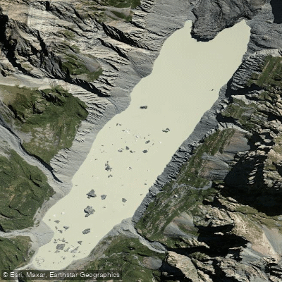
Hooker Lake
- Boat Ramps
- 0
- Access Points
- 0
- Campsites
- 0
Hooker Lake is a proglacial lake situated at 877 metres elevation in the Hooker Valley within Aoraki / Mount Cook National Park on New Zealand's South Island, at coordinates 43°40′45″S 170°06′30″E. The lake began forming in the late 1970s as the Hooker Glacier retreated, and it continues to evolve as a result of ongoing glacial recession. It measures approximately 2.5 kilometres in length and 0.5 kilometres in width, with a maximum depth of 136 metres. The Hooker River exits the lake at its lower end.
Access is via the Hooker Valley Track from Mount Cook Village, a roughly 5-kilometre walk each way. The portage to the lake involves a significant carry, including steps, making it a demanding approach for anyone bringing a packraft or kayak.
Paddling conditions on Hooker Lake carry serious hazards that demand careful planning. Steep cliffs rise approximately 200 metres above the water in places, and large boulders are described as perched precariously above the shoreline. Safe landing zones around the lake are extremely limited, meaning paddlers who are caught by adverse conditions have few escape options. A recommended minimum safe distance from cliff faces is roughly twice the cliff height; a practical field method is to extend a fist at arm's length and stack three fist-widths from the waterline — the cliff top should fall below that angle, approximately 26 degrees. Icebergs calved from the Hooker Glacier are commonly present in the lake and pose a collision hazard.
Wind management is critical. Katabatic winds flowing down-valley tend to occur in the early morning as cooled overnight air drains toward the lake. From mid-to-late morning, anabatic winds can develop as solar heating causes air to rise up-valley. The recommended paddling window is an early morning start with a return to shore by around midday, before afternoon winds build. Calm, low-wind days are essential given the absence of safe landing zones.
The lake freezes most winters. The water is glacial in origin and extremely cold year-round. The dominant visual feature is the direct view of Aoraki / Mount Cook rising above the upper end of the lake, with floating ice present in many seasons, including as late as mid-September. A picnic table is located at the end of the Hooker Valley Track near the lake shore.
Water access, boat ramps & amenities
Learn how to get on Hooker Lake. Uncover great paddling access points, boat ramps, and all the facilities you need for an unforgettable day on the water. Some locations shown may border or include private property. Always check property boundaries and applicable regulations before visiting. PaddleWays's Public & Private Land layer can help you plan your access with confidence.
Paddle smarter with real-time insights
Whether you're en route and conditions shift or you're looking for the best spot based on current flows, we enable you to make informed decisions on the fly.







Canterbury licenses and regulations
No licenses or regulations available for Canterbury.
Find Places to Paddle

Over 400,000 Places to Paddle
Every user gets free access to launch points, boat ramps, and public property parcels.


Water and weather conditions (10 day forecast)
See the best times to paddle Hooker Lake and check the forecast before you go.
No forecast data available.
Paddling near Hooker Lake
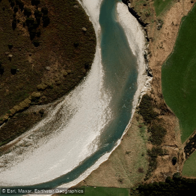
Rangitata River
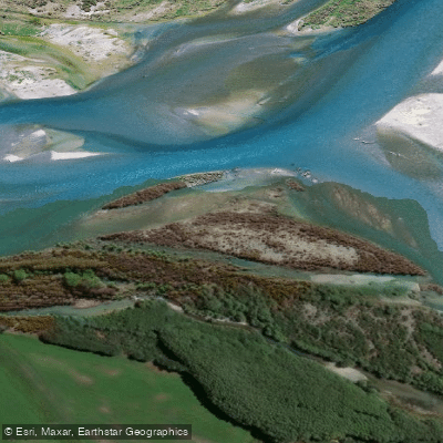
Waitaki River
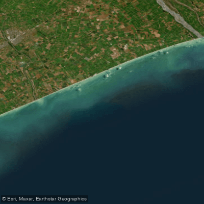
Canterbury Bight
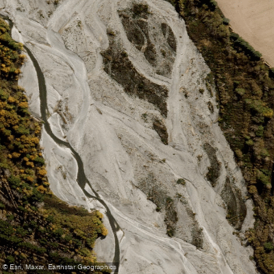
Ashburton River North Branch
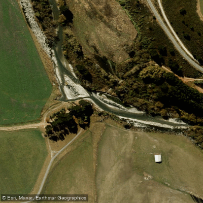
South Branch Ashburton River / Hakatere
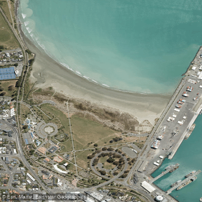
Caroline Bay Beach
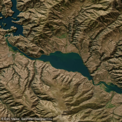
Lake Aviemore
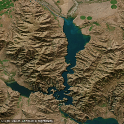
Lake Benmore
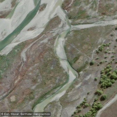
Tekapo River
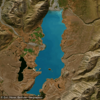
Lake Tekapo / Takapō
Explore Canterbury waters
Top paddling waters
No waters available right now.
Popular Cities
Loading popular cities...
Explore near Hooker Lake

Smarter Paddling Starts in the App.
Paddleways gives you everything you need to plan smarter, paddle better, and own every trip from first launch to takeout.