Tasman Lake
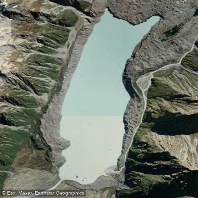
Tasman Lake
- Boat Ramps
- 0
- Access Points
- 0
- Campsites
- 0
Tasman Lake sits at the terminus of the Haupapa/Tasman Glacier in Aoraki/Mount Cook National Park, Canterbury region, New Zealand. The lake is a relatively recent formation, having begun developing in 1974 and growing steadily since. It is now large enough to support commercial boat and kayak tours, making it one of the more accessible glacial lake paddling destinations in the country.
The lake is reached via Tasman Valley Road, which turns off SH80 just before Aoraki/Mount Cook Village. Following this road approximately 7 km brings paddlers to the car park at the end, from which the lake edge is roughly 1.5 km on foot. A jetty on the lake shore serves as the primary access point for watercraft.
The defining characteristic of paddling Tasman Lake is the presence of icebergs of varying shapes and sizes that periodically calve from the glacier face into the lake. The Haupapa/Tasman Glacier, at approximately 22–23 km in length, is the longest glacier in New Zealand, and its terminal face forms the upper boundary of the lake. The glacier is currently receding at over 100 m per year, meaning the lake continues to grow.
Water temperature is a critical safety consideration. The lake water is typically around 3 degrees Celsius and can cause hypothermia very rapidly upon immersion. Paddlers should treat cold-water immersion as a serious and immediate risk. Icebergs present an additional hazard, as they are unstable and can tip without warning. The lake is also subject to rapidly changing alpine weather conditions, which can develop quickly and without much notice.
Commercial boat tours operate on the lake from September through mid-June, with a seasonal closure during July and August. This operational window gives a reasonable indication of the more practical paddling season, though alpine conditions can be severe even within that period. The Canterbury Sea Kayak Network has run paddling trips to the lake, indicating it is accessible to experienced recreational kayakers.
The surrounding landscape includes the moraine walls that mark the glacier's historical extent, views of the glacier itself, and the high peaks of the Aoraki/Mount Cook National Park. The Tasman River exits the lake at its lower end, offering an additional point of interest near the lake shore.
Water access, boat ramps & amenities
Learn how to get on Tasman Lake. Uncover great paddling access points, boat ramps, and all the facilities you need for an unforgettable day on the water. Some locations shown may border or include private property. Always check property boundaries and applicable regulations before visiting. PaddleWays's Public & Private Land layer can help you plan your access with confidence.
Paddle smarter with real-time insights
Whether you're en route and conditions shift or you're looking for the best spot based on current flows, we enable you to make informed decisions on the fly.







Canterbury licenses and regulations
No licenses or regulations available for Canterbury.
Find Places to Paddle

Over 400,000 Places to Paddle
Every user gets free access to launch points, boat ramps, and public property parcels.


Water and weather conditions (10 day forecast)
See the best times to paddle Tasman Lake and check the forecast before you go.
No forecast data available.
Paddling near Tasman Lake
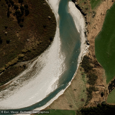
Rangitata River
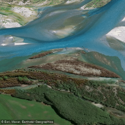
Waitaki River
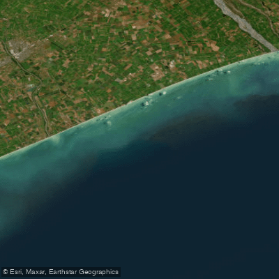
Canterbury Bight
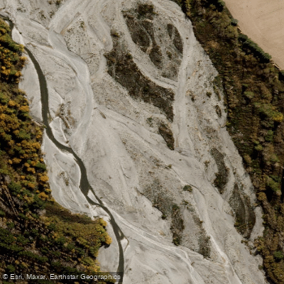
Ashburton River North Branch
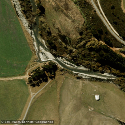
South Branch Ashburton River / Hakatere
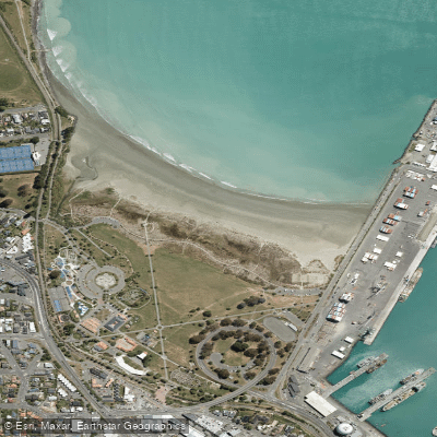
Caroline Bay Beach
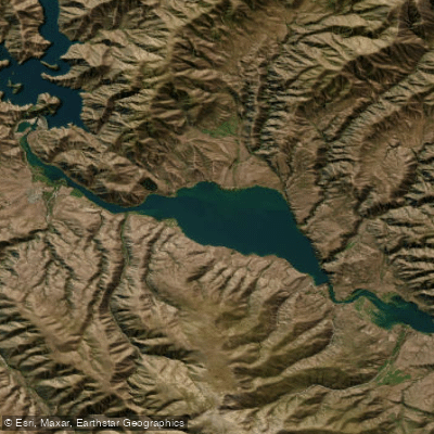
Lake Aviemore
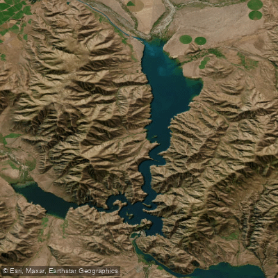
Lake Benmore
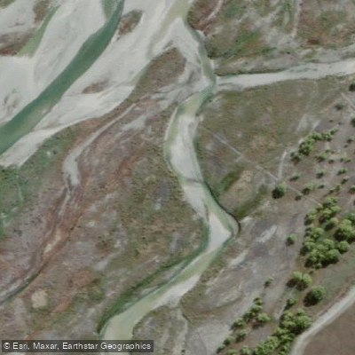
Tekapo River
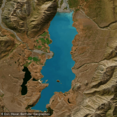
Lake Tekapo / Takapō
Explore Canterbury waters
Top paddling waters
No waters available right now.
Popular Cities
Loading popular cities...
Explore near Tasman Lake

Smarter Paddling Starts in the App.
Paddleways gives you everything you need to plan smarter, paddle better, and own every trip from first launch to takeout.