Avon River
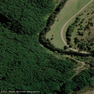
Avon River
- Boat Ramps
- 0
- Access Points
- 0
- Campsites
- 0
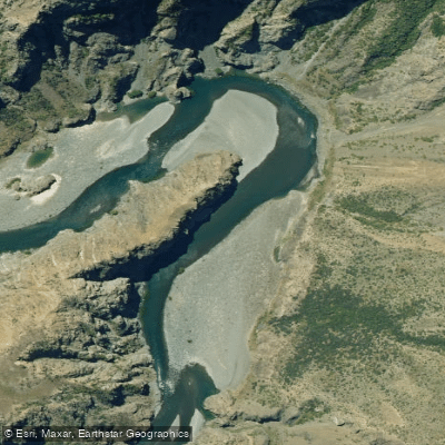
The Avon River in Marlborough flows northeast for 20 kilometers from its headwaters in the rough country southwest of Blenheim to its confluence with the Wairau River. Paddlers can use the PaddleWays platform to view specific access points, water conditions, and private/public-land boundaries along this route, which are essential tools for planning a trip. The river's character is defined by its passage from a rugged source area towards the coastal plains near Blenheim. Consult the PaddleWays resource directly for the latest access details and route planning before setting out.
Water access, boat ramps & amenities
Learn how to get on Avon River. Uncover great paddling access points, boat ramps, and all the facilities you need for an unforgettable day on the water. Some locations shown may border or include private property. Always check property boundaries and applicable regulations before visiting. PaddleWays's Public & Private Land layer can help you plan your access with confidence.
Paddle smarter with real-time insights
Whether you're en route and conditions shift or you're looking for the best spot based on current flows, we enable you to make informed decisions on the fly.







Marlborough licenses and regulations
No licenses or regulations available for Marlborough.
Find Places to Paddle

Over 400,000 Places to Paddle
Every user gets free access to launch points, boat ramps, and public property parcels.


Water and weather conditions (10 day forecast)
See the best times to paddle Avon River and check the forecast before you go.
No forecast data available.
Paddling near Avon River
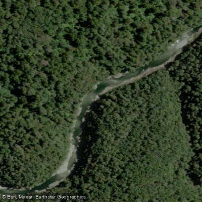
Te Hoiere / Pelorus River
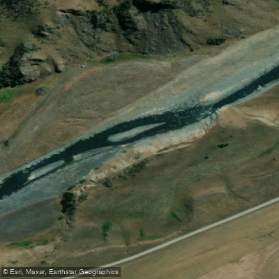
Awatere River
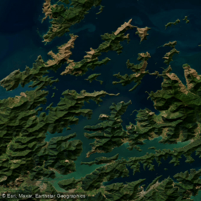
Pelorus Sound / Te Hoiere

Maitai River
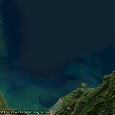
Tasman Bay / Te Tai-o-Aorere
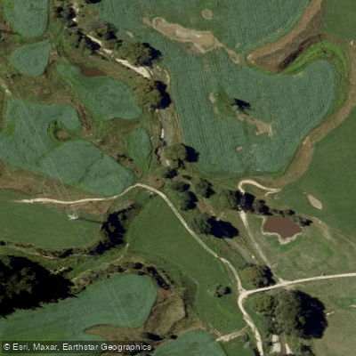
Kaituna River
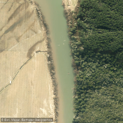
Motueka River
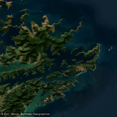
Queen Charlotte Sound / Tōtaranui
Waiau Toa / Clarence River
Explore Marlborough waters
Top paddling waters
No waters available right now.
Popular Cities
Loading popular cities...
Explore near Avon River

Smarter Paddling Starts in the App.
Paddleways gives you everything you need to plan smarter, paddle better, and own every trip from first launch to takeout.