Clifford Bay
- Saltwater
- Bay
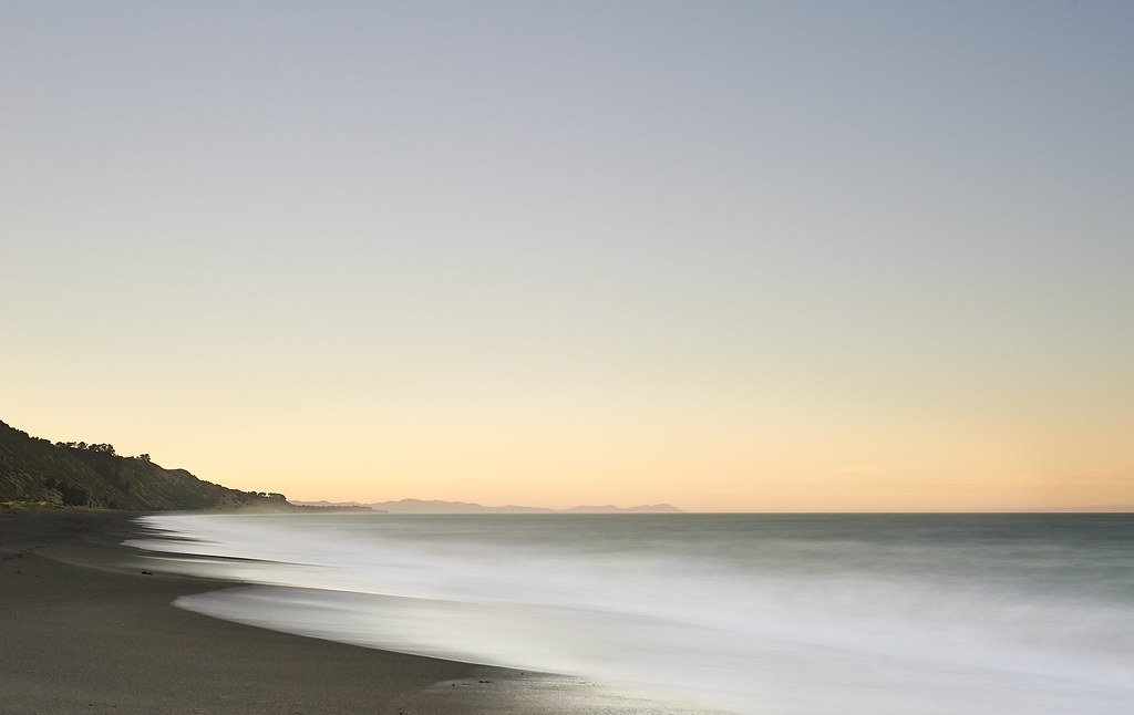
Clifford Bay
- Saltwater
- Bay
- Sq. miles
- 30
- Boat Ramps
- 0
- Access Points
- 0
- Campsites
- 0
Clifford Bay is a large, open coastal bay on the northeastern coast of New Zealand's South Island, situated south of Cloudy Bay. It is a significant marine feature influenced by the outflow of the Awatere River. The bay is characterized by its exposed coastline, dominated by the prominent White Bluffs, which are sheer cliffs offering little opportunity for landing and with breakers that can extend well offshore. The coastline transitions to a shallow sloping beach at Marfell Beach, where a Department of Conservation campground is located. This beach can be difficult to identify from the water until close to shore. Other potential shoreline access points include Flemings Road and Cable Station Road.
Paddling in Clifford Bay is an advanced undertaking due to significant and dynamic wind exposure. Conditions can change rapidly, with winds lifting from 10 to 25-30 knots in a short period. Strong easterlies and northerlies are common, and significant gusts are frequently forecast. The bay has a long fetch, leading to wave heights that can require considerable experience. Water temperatures are consistently cold, averaging between 10.5°C and 11.7°C, presenting a year-round risk of hypothermia. Tidal currents are present, with a northerly flow noted during a transit, which can slow progress. The combination of wind, waves, and cold water defines this as a challenging environment suitable only for well-prepared, experienced paddlers with appropriate safety gear.
A notable route is a transit from Cloudy Bay, past White Bluffs, across Clifford Bay to Marfell Beach. This is an open-water crossing requiring careful navigation, with Cape Campbell serving as a key landmark. The area is used by motorhomes and campers at Marfell Beach. The aesthetic is one of a rugged, dynamic coastline with limited shelter.
Water access, boat ramps & amenities
Learn how to get on Clifford Bay. Uncover great paddling access points, boat ramps, and all the facilities you need for an unforgettable day on the water. Some locations shown may border or include private property. Always check property boundaries and applicable regulations before visiting. PaddleWays's Public & Private Land layer can help you plan your access with confidence.
Paddle smarter with real-time insights
Whether you're en route and conditions shift or you're looking for the best spot based on current flows, we enable you to make informed decisions on the fly.







Marlborough licenses and regulations
No licenses or regulations available for Marlborough.
Find Places to Paddle

Over 400,000 Places to Paddle
Every user gets free access to launch points, boat ramps, and public property parcels.


Tides, wind & water conditions (10 day forecast)
On open water, wind and tide matter as much as the weather. See the best times to paddle Clifford Bay and check the marine forecast before you launch.
Loading tide predictions…
Paddling near Clifford Bay
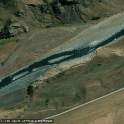
Awatere River
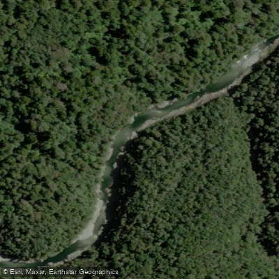
Te Hoiere / Pelorus River
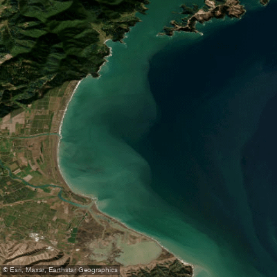
Te Koko-o-Kupe / Cloudy Bay
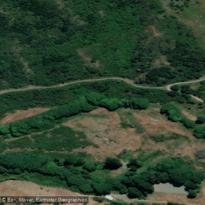
Taylor River
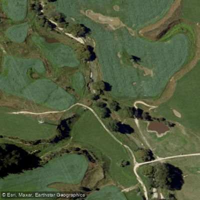
Kaituna River
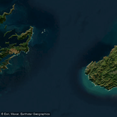
Te Moana-o-Raukawa / Cook Strait
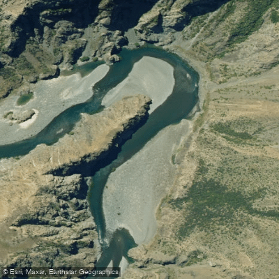
Waiau Toa / Clarence River
Avon River
Maitai River
Explore Marlborough waters
Top paddling waters
No waters available right now.
Popular Cities
Loading popular cities...
Explore near Clifford Bay

Smarter Paddling Starts in the App.
Paddleways gives you everything you need to plan smarter, paddle better, and own every trip from first launch to takeout.