Te Koko-o-Kupe / Cloudy Bay
- Saltwater
- Bay
Te Koko-o-Kupe / Cloudy Bay
- Saltwater
- Bay
- Sq. miles
- 67
- Boat Ramps
- 0
- Access Points
- 0
- Campsites
- 2
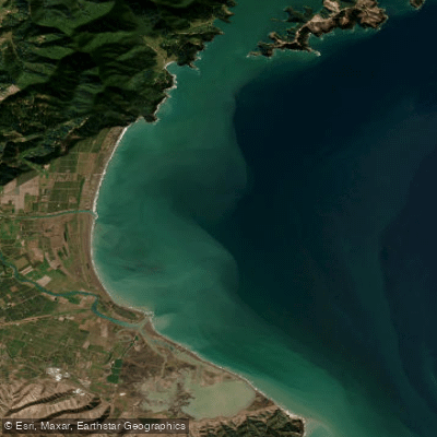
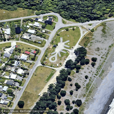
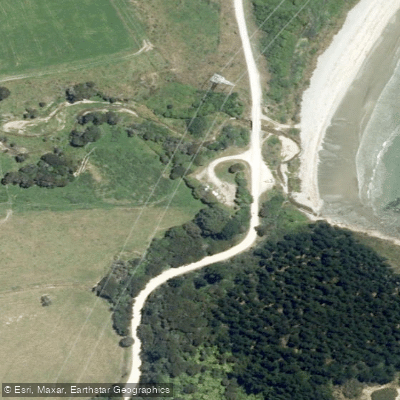
Te Koko-o-Kupe / Cloudy Bay is a large, crescent-shaped coastal bay approximately 30 kilometres long and 20 kilometres wide, facing directly into Cook Strait and the Pacific Ocean. Its shores are characterized by gently sloping sand or gravel beaches, with the notable geographical features of the Wairau River delta at its centre and the distinct White Bluffs at its southern end. A narrow strip of shingle known as Te Pokohiwi, or The Boulder Bank, separates the southern Wairau Lagoons from the open bay. The primary access point for paddlers is from the coastal settlement of Rārangi at the bay's northern end. A campsite and car park are located beside the beach at Rārangi, providing facilities for launching. An alternative, more rugged access point is from the Wairau Bar at the river mouth, reached via Wairau Bar Road, where a car park allows for a short walk to the stony beach. The bay itself is not safe for swimming, indicating significant exposure and likely challenging conditions for paddlers, including potential surf and strong currents typical of an open strait. Paddlers should be prepared for a rugged coastal environment with significant fetch and exposure to the prevailing winds and swells of Cook Strait. The area holds considerable historical and cultural significance, with the Wairau Bar being one of the earliest and most important sites of Polynesian settlement in New Zealand. Wildlife includes birdlife in the Wairau Lagoons salt marsh ecosystem. While commercial trawling and dredging occur in the bay, indicating the presence of boat traffic, no specific restrictions or regulations specific to paddling are specified. For calmer swimming and potentially more sheltered paddling, Pukatea / Whites Bay, located approximately 5 kilometres along Port Underwood Road at the bay's northern extremity, is a more suitable spot.
Water access, boat ramps & amenities
Learn how to get on Te Koko-o-Kupe / Cloudy Bay. Uncover great paddling access points, boat ramps, and all the facilities you need for an unforgettable day on the water. Some locations shown may border or include private property. Always check property boundaries and applicable regulations before visiting. PaddleWays's Public & Private Land layer can help you plan your access with confidence.
Paddle smarter with real-time insights
Whether you're en route and conditions shift or you're looking for the best spot based on current flows, we enable you to make informed decisions on the fly.







Marlborough licenses and regulations
No licenses or regulations available for Marlborough.
Find Places to Paddle

Over 400,000 Places to Paddle
Every user gets free access to launch points, boat ramps, and public property parcels.


Tides, wind & water conditions (10 day forecast)
On open water, wind and tide matter as much as the weather. See the best times to paddle Te Koko-o-Kupe / Cloudy Bay and check the marine forecast before you launch.
Loading tide predictions…
Paddling near Te Koko-o-Kupe / Cloudy Bay
Awatere River
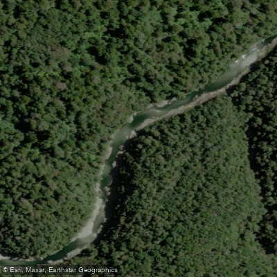
Te Hoiere / Pelorus River
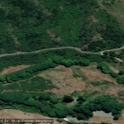
Taylor River
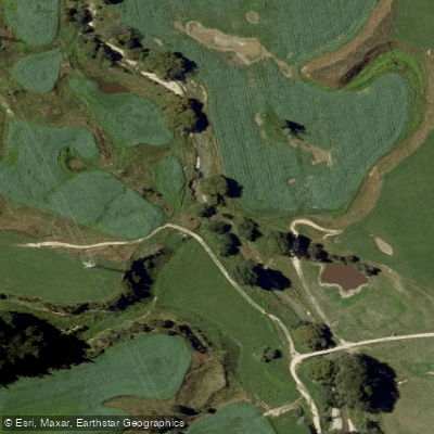
Kaituna River
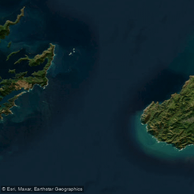
Te Moana-o-Raukawa / Cook Strait
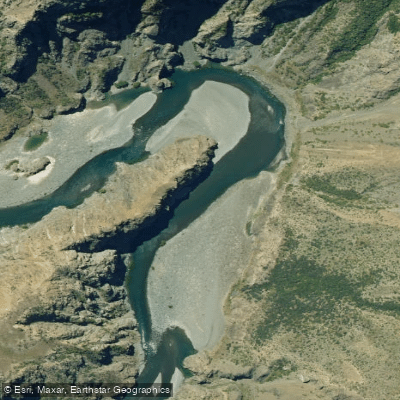
Waiau Toa / Clarence River
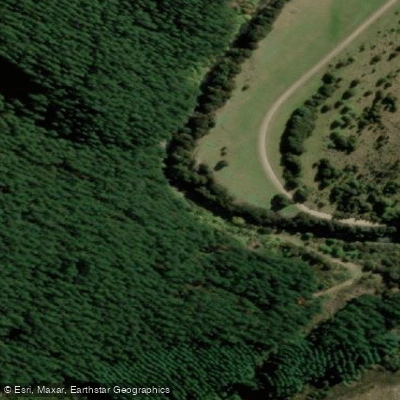
Avon River
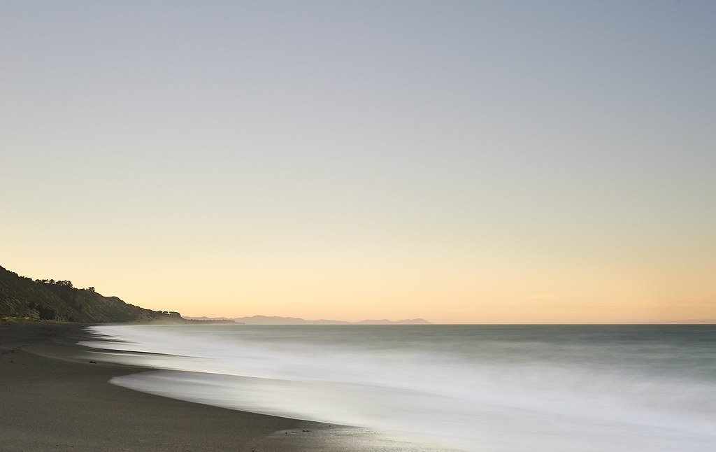
Clifford Bay
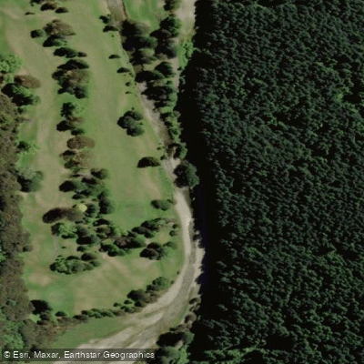
Maitai River
Explore Marlborough waters
Top paddling waters
No waters available right now.
Popular Cities
Loading popular cities...
Explore near Te Koko-o-Kupe / Cloudy Bay

Smarter Paddling Starts in the App.
Paddleways gives you everything you need to plan smarter, paddle better, and own every trip from first launch to takeout.