Waimamaku River
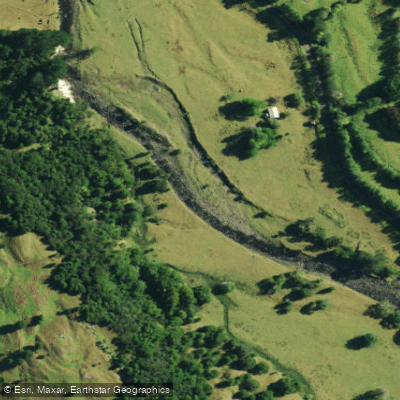
Waimamaku River
- Boat Ramps
- 0
- Access Points
- 0
- Campsites
- 0
The Waimamaku River flows westward through the valley to the north of the Waipoua Kauri Forest, emptying into the Tasman Sea immediately to the south of Hokianga Harbour, in Northland, New Zealand. The river mouth is located at NZMSI N18/928114, with relevant maps being NZMSIS Sheet 2 Whangarei and NZMSI Sheets N18 and N22 (Waipoua and Taharoa).
Over the first 5 kilometres, the river descends from the Mataraua State Forest area, which contains considerable scrubland in the Waimamaku Valley. This upper section is reasonably scenic, with thick bush nearby, before opening into a cleared lower valley. There is a short gorge of approximately 1.5 kilometres below the road end that is notably scenic. A distinctive feature of the Waimamaku compared to many other Northland rivers is that a substantial length of the middle river has a bed of fine shingle rather than the soft or muddy substrate more typical of the region.
The middle and lower sections of the river are predominantly rural in character, bordered by large willow trees. Below the Main Road Bridge, the gradient decreases, the current slows, and there are long, shallow pools. Paddlers should be aware of potential willow log-jams in this section. The lower river, below the Main Road, becomes muddy and sluggish. The river mouth area is used for swimming and is a popular picnic spot.
Overall, the recreational and scenic value of the Waimamaku is rated low. The river meanders through farmland for much of its length and is not considered particularly attractive. Pack floating is seldom used on this river. Given these characteristics — slow current in the lower reaches, shallow pools, potential log-jams from willows, and a predominantly rural setting — paddlers seeking technical challenge or outstanding scenery are unlikely to find it here. The river may suit those looking for a straightforward, low-key flatwater paddle in a rural Northland setting, with the short gorge below the road end offering the most visually interesting stretch of the journey.
Water access, boat ramps & amenities
Learn how to get on Waimamaku River. Uncover great paddling access points, boat ramps, and all the facilities you need for an unforgettable day on the water. Some locations shown may border or include private property. Always check property boundaries and applicable regulations before visiting. PaddleWays's Public & Private Land layer can help you plan your access with confidence.
Paddle smarter with real-time insights
Whether you're en route and conditions shift or you're looking for the best spot based on current flows, we enable you to make informed decisions on the fly.







Northland licenses and regulations
No licenses or regulations available for Northland.
Find Places to Paddle

Over 400,000 Places to Paddle
Every user gets free access to launch points, boat ramps, and public property parcels.


Water and weather conditions (10 day forecast)
See the best times to paddle Waimamaku River and check the forecast before you go.
Waimamaku at SH12 Bridge South
Paddling near Waimamaku River
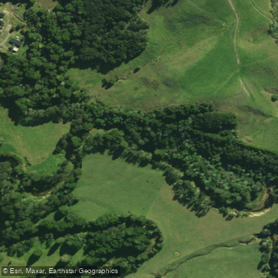
Waitangi River
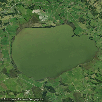
Lake Ōmāpere
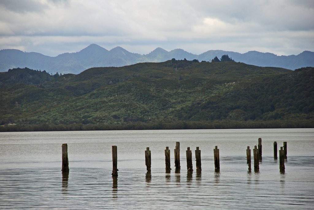
Hokianga Harbour
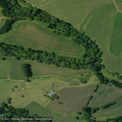
Mangakahia River
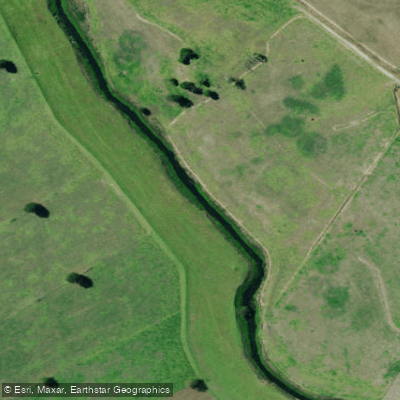
Kaihu River
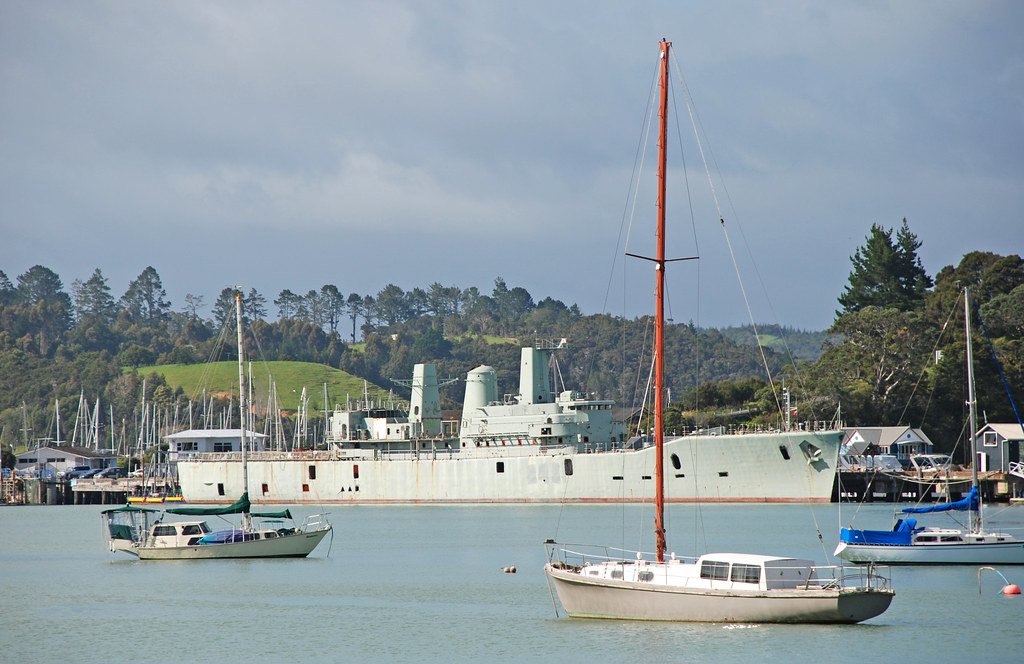
Bay of Islands
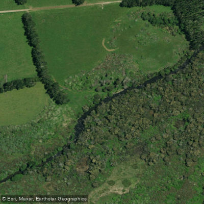
Punakitere River
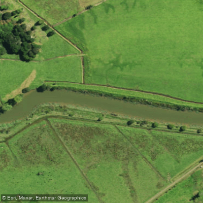
Waimā River
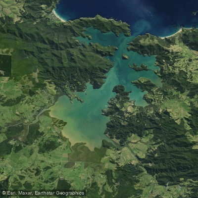
Whangaroa Harbour
Explore Northland waters
Top paddling waters
No waters available right now.
Popular Cities
Loading popular cities...
Explore near Waimamaku River

Smarter Paddling Starts in the App.
Paddleways gives you everything you need to plan smarter, paddle better, and own every trip from first launch to takeout.