Mangamuka River
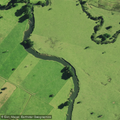
Mangamuka River
- Boat Ramps
- 0
- Access Points
- 0
- Campsites
- 0
The Mangamuka River flows south-east from the Maungataniwha Range, running alongside State Highway 1 before emptying into the northern arm of the Hokianga Harbour. The river is approximately 30 kilometres in length and, for the most part, carries a near-nil gradient, resulting in sluggish current through much of its lower reaches.
Above Mangamuka Bridge Settlement, the river passes through a short rocky gorge beside the main highway, where it is quite scenic but very small — too small for practical river-based recreation in that section. Below the gorge, as the river leaves the bush-clad hills and enters the rural lowlands, it becomes very flat with low gradient and is useable by canoes and kayaks. Motor launches and jet boats can access the river up to 14 kilometres from the mouth, as far as Mangamuka Bridge.
The lower reaches are characterised by willows lining the banks, transitioning to mangroves closer to the harbour. At low tide, the muddy banks in this tidal section are unpleasant, which is a practical consideration when planning a trip. The overall scenic value of the river is rated as moderate above the bridge settlement, but the rural landscape of willows and mangroves in the lower section is generally considered uninspiring. The recreational value is rated low overall.
Paddlers considering this river should be aware that willows are noted as a problem along much of its length. The tidal influence on the lower section means timing a paddle around the tide will significantly affect the experience, particularly to avoid exposure to muddy banks at low water. There are no notable hazards beyond the shallow, small nature of the upper reaches and the tidal, low-gradient character of the lower river. The river is not considered suitable for pack floating in the upper reaches due to its small size, and the lower section's shallow flow and minimal gradient make it unsuitable for that purpose as well.
Water access, boat ramps & amenities
Learn how to get on Mangamuka River. Uncover great paddling access points, boat ramps, and all the facilities you need for an unforgettable day on the water. Some locations shown may border or include private property. Always check property boundaries and applicable regulations before visiting. PaddleWays's Public & Private Land layer can help you plan your access with confidence.
Paddle smarter with real-time insights
Whether you're en route and conditions shift or you're looking for the best spot based on current flows, we enable you to make informed decisions on the fly.







Northland licenses and regulations
No licenses or regulations available for Northland.
Find Places to Paddle

Over 400,000 Places to Paddle
Every user gets free access to launch points, boat ramps, and public property parcels.


Water and weather conditions (10 day forecast)
See the best times to paddle Mangamuka River and check the forecast before you go.
No forecast data available.
Paddling near Mangamuka River
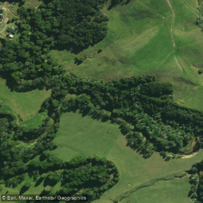
Waitangi River
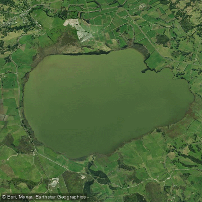
Lake Ōmāpere
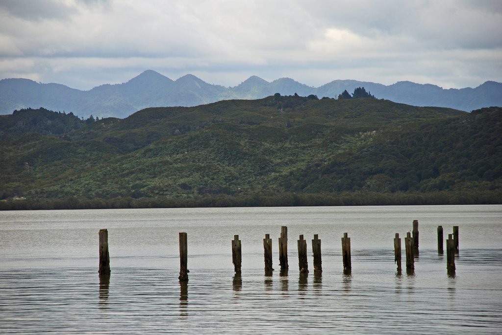
Hokianga Harbour
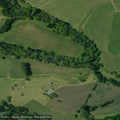
Mangakahia River
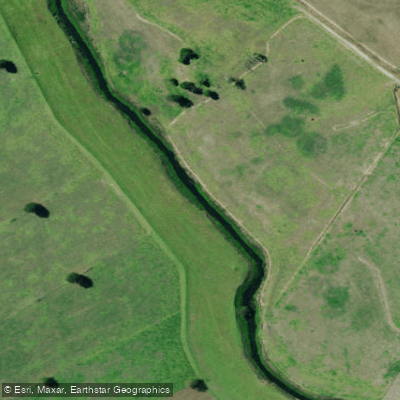
Kaihu River
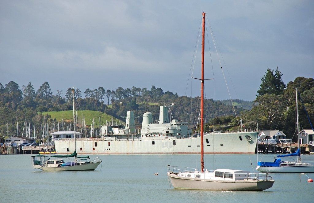
Bay of Islands
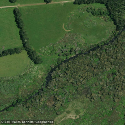
Punakitere River
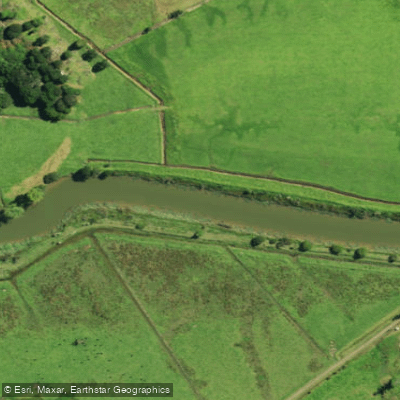
Waimā River
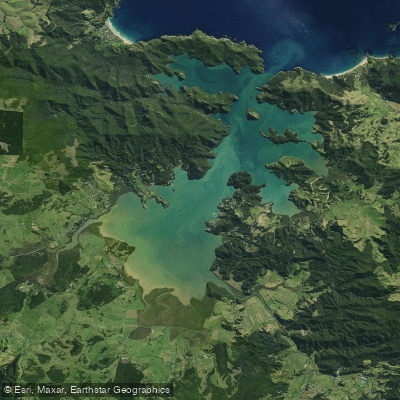
Whangaroa Harbour
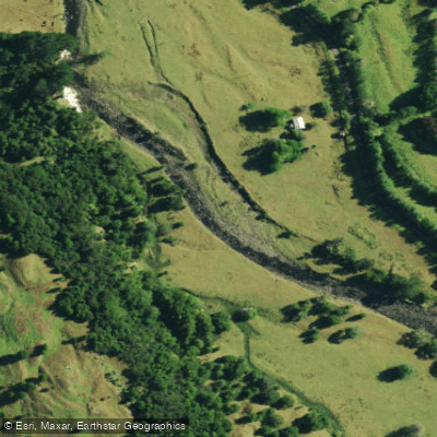
Waimamaku River
Explore Northland waters
Top paddling waters
No waters available right now.
Popular Cities
Loading popular cities...
Explore near Mangamuka River

Smarter Paddling Starts in the App.
Paddleways gives you everything you need to plan smarter, paddle better, and own every trip from first launch to takeout.