Waikaia River
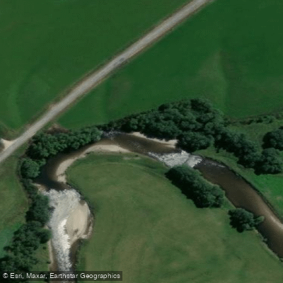
Waikaia River
- Boat Ramps
- 0
- Access Points
- 0
- Campsites
- 1
The Waikaia River flows through Northern Southland on New Zealand's South Island and is the largest tributary of the Mataura River, carrying a discharge roughly equivalent to the Mataura itself at their confluence. The river drains high country terrain through a landscape of tussock and beech forest, descending from alpine elevations toward the lowland farming country around the town of Waikaia, a former gold mining settlement.
For paddlers, the river's upper branches represent some of the most demanding whitewater in New Zealand. The East Branch is regarded as the hardest multi-day run in the country, first descended in spring 2009. It begins at approximately 1100 metres altitude and descends to around 300 metres over 13 kilometres, typically run over two days. The character of the East Branch is defined by near-continuous horizon lines and long, technical rapids, with at least one sustained Class V+ section early on day one. Access to the put-in requires a helicopter flight. The window of suitable flows for this run is described as short, and the seriousness of the terrain means paddling with a larger group is strongly advised for safety. The West Branch has also been explored by expert paddlers, with its upper section receiving a first descent.
The high country setting gives the upper Waikaia runs a remote, committing character. Parties should be prepared for multi-day self-sufficiency in a wilderness environment with no nearby facilities. Given the technical grade and access requirements, these runs are suited only to highly experienced whitewater kayakers with appropriate expedition skills.
The lower Waikaia, near the town of the same name, is primarily known as a brown trout fishery and is considered an underrated fishery relative to the nearby Mataura. Anglers frequent the river, particularly during willow grub drops and mayfly hatches in summer and early autumn, which is worth noting for paddlers planning trips during those periods.
Water access, boat ramps & amenities
Learn how to get on Waikaia River. Uncover great paddling access points, boat ramps, and all the facilities you need for an unforgettable day on the water. Some locations shown may border or include private property. Always check property boundaries and applicable regulations before visiting. PaddleWays's Public & Private Land layer can help you plan your access with confidence.
Paddle smarter with real-time insights
Whether you're en route and conditions shift or you're looking for the best spot based on current flows, we enable you to make informed decisions on the fly.







Southland licenses and regulations
No licenses or regulations available for Southland.
Find Places to Paddle

Over 400,000 Places to Paddle
Every user gets free access to launch points, boat ramps, and public property parcels.


Water and weather conditions (10 day forecast)
See the best times to paddle Waikaia River and check the forecast before you go.
Waikaia River At Mahers Beach
All Flow Stations
Paddling near Waikaia River
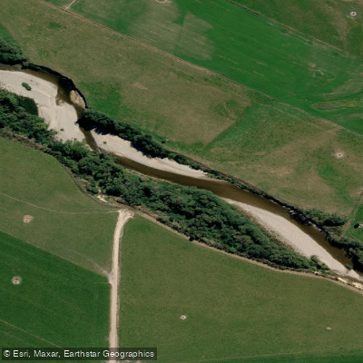
Pomahaka River

Clutha River / Mata-Au
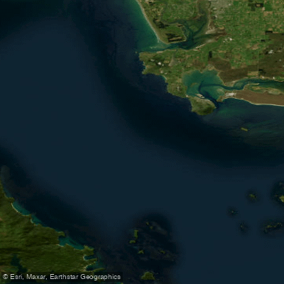
Te Ara-a-Kiwa / Foveaux Strait
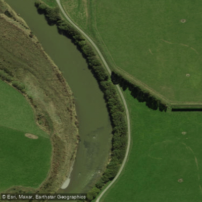
Õreti River
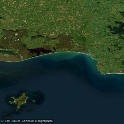
Toetoes Bay
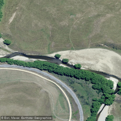
Taieri River
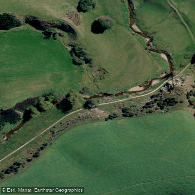
Tuapeka River
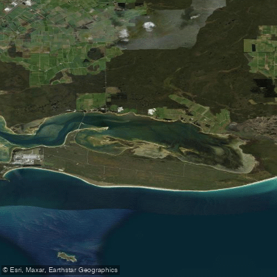
Awarua Bay / Poupoumoana / Te Wai-o-te-whawhaki
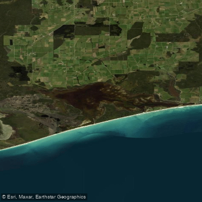
Waipārera / Waituna Lagoon
Explore Southland waters
Top paddling waters
No waters available right now.
Popular Cities
Loading popular cities...
Explore near Waikaia River

Smarter Paddling Starts in the App.
Paddleways gives you everything you need to plan smarter, paddle better, and own every trip from first launch to takeout.