Mount Damper Falls
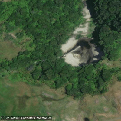
Mount Damper Falls
Mount Damper Falls is a 74-metre waterfall in the Taranaki region of New Zealand's North Island, dropping on Mount Damper Stream, a tributary of the Tongapōrutu River.
At that height, it ranks among the tallest waterfalls in the North Island, behind Wairere, Ananui, and Waitakere Falls.
The falls are reached via a short walking track beginning near the intersection of Okau and Mangapapa Roads off State Highway 43, roughly 59 km north of New Plymouth.
The track crosses privately owned farmland before entering conservation land managed by the Department of Conservation. Access is closed annually from 1 August to 31 October during the lambing season.
The falls form part of the heritage trail network along the Forgotten World Highway and lie near the historic Tihi-Manuka trail, once used by local Māori as a main route between the Taumaranui area and the north Taranaki coast.
Nearby points of interest
Find excellent paddling spots, easy access to boat ramps, and all the amenities you need for a memorable day. Your adventure starts here.
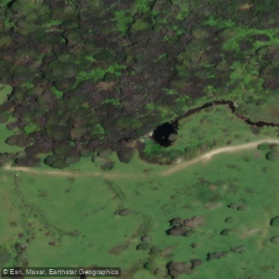
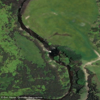
Water and weather conditions (10 day forecast)
Check the forecast at Mount Damper Falls before you go paddling.
No forecast data available.
Paddling near Mount Damper Falls

Whanganui River
Ōngarue River
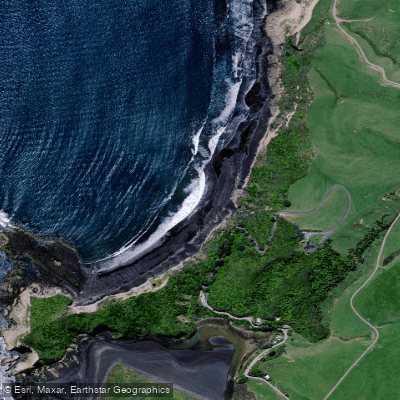
Waikawau Beach
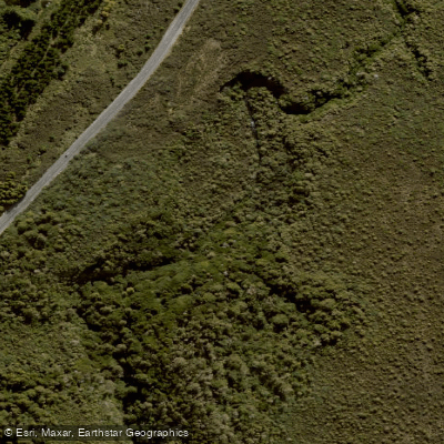
Mangatepopo Stream
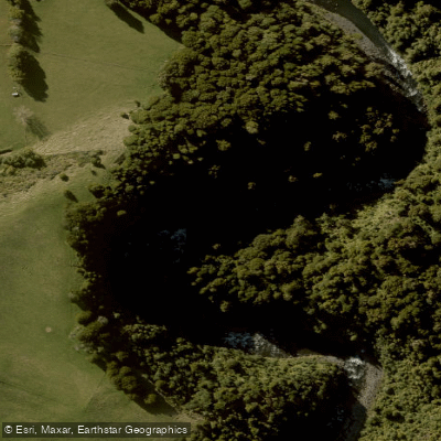
Whakapapa River
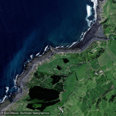
Kiritehere Beach
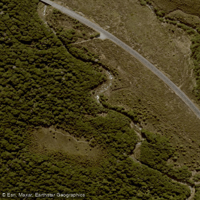
Whakapapanui Stream
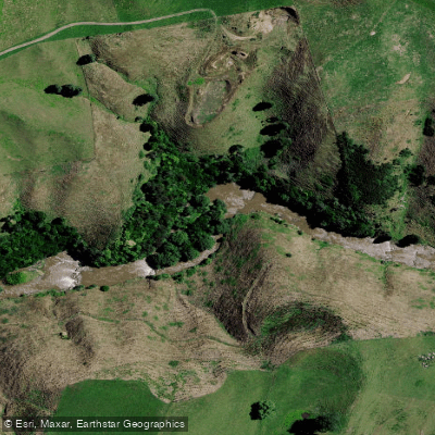
Mōkau River
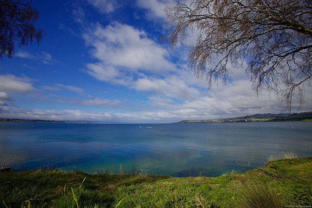
Lake Taupō
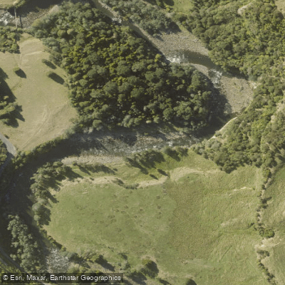
Manganuioteao River
Taranaki licenses and regulations
Explore Taranaki waters
Top paddling waters
No waters available right now.
Popular Cities
Loading popular cities...
Explore near Mount Damper Falls

Smarter Paddling Starts in the App.
Paddleways gives you everything you need to plan smarter, paddle better, and own every trip from first launch to takeout.