Ōkari River
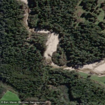
Ōkari River
- Boat Ramps
- 0
- Access Points
- 0
- Campsites
- 0
The Ōkari River is a small waterway on New Zealand's West Coast, located roughly 15 minutes south of Westport. It flows through native bush before reaching an estuary and lagoon near the coast. The river winds through a remnant patch of coastal northern rata and podocarp forest, and the surrounding area supports a notable range of birdlife including roroa (great spotted kiwi), shags, herons, tui, bellbirds, fernbirds, and native bats.
From a paddling standpoint, the river is generally considered too small and shallow for conventional boating. A recreational river survey conducted by NIWA explicitly describes it as not navigable in normal conditions. However, the tidal estuary section offers more potential: at least one local accommodation operator offers the possibility of borrowing a kayak and exploring the river at low tide to observe forest birds and fishing birds along the banks. Any paddling is therefore most practically considered in the lower, tidal reaches rather than upstream.
Fishing regulations apply to the river, with the section upstream of State Highway 6 open from 1 October to 30 April, and the section downstream of State Highway 6 open all year. Paddlers should be aware of these seasonal fishing activities when planning a visit.
The Kawatiri Coastal Trail crosses the river via a suspension bridge, and the trail corridor runs adjacent to the river through native forest. Trail users and paddlers may encounter one another in this section. Dogs are prohibited in the Okari section of the trail to protect the local kiwi population, a restriction worth noting for those camping or travelling with animals in the area.
Water access, boat ramps & amenities
Learn how to get on Ōkari River. Uncover great paddling access points, boat ramps, and all the facilities you need for an unforgettable day on the water. Some locations shown may border or include private property. Always check property boundaries and applicable regulations before visiting. PaddleWays's Public & Private Land layer can help you plan your access with confidence.
Paddle smarter with real-time insights
Whether you're en route and conditions shift or you're looking for the best spot based on current flows, we enable you to make informed decisions on the fly.







West Coast licenses and regulations
No licenses or regulations available for West Coast.
Find Places to Paddle

Over 400,000 Places to Paddle
Every user gets free access to launch points, boat ramps, and public property parcels.


Water and weather conditions (10 day forecast)
See the best times to paddle Ōkari River and check the forecast before you go.
No forecast data available.
Paddling near Ōkari River
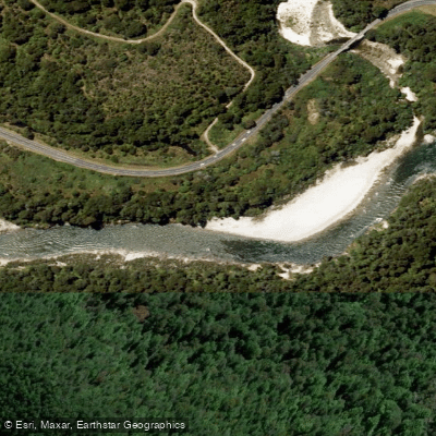
Buller River
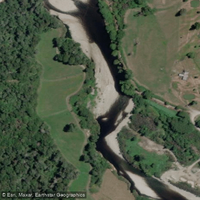
Inangahua River
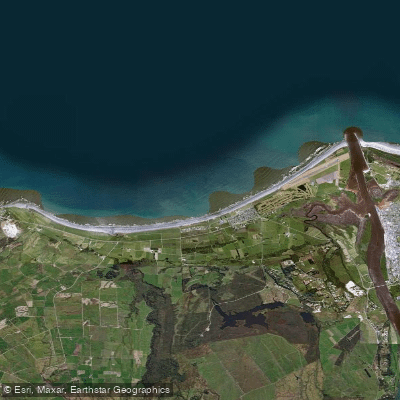
Carters Beach
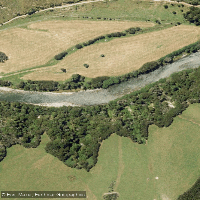
Maruia River
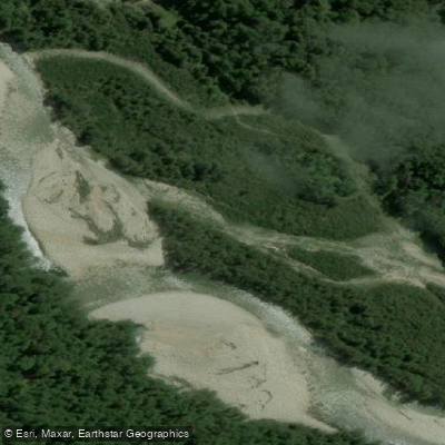
Waitahu River
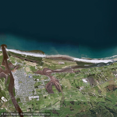
North Beach
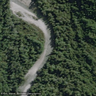
Waitakere or Nile River
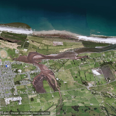
Orowaiti Lagoon
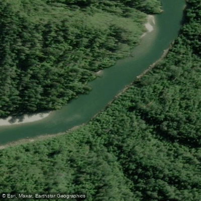
Mōkihinui River
Explore West Coast waters
Top paddling waters
No waters available right now.
Popular Cities
Loading popular cities...
Explore near Ōkari River

Smarter Paddling Starts in the App.
Paddleways gives you everything you need to plan smarter, paddle better, and own every trip from first launch to takeout.