Waitakere or Nile River
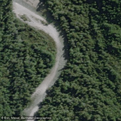
Waitakere or Nile River
- Boat Ramps
- 0
- Access Points
- 0
- Campsites
- 0
The Waitakere, also known as the Nile River, is a small stream on New Zealand's West Coast, flowing onto the coast south of the Buller. The river runs approximately 28km with a slight average gradient, passing through a limestone gorge with full bush cover and clear water — characteristics that hold even when flows are elevated. The gorge setting features notable limestone rock formations and lush green vegetation, giving the river a distinctly tropical feel for the West Coast.
The lower 5km of the river, down to State Highway 6, is the most accessible and practical section for paddling. Only the smallest craft such as canoes, packrafts, or stand-up paddleboards are suitable, as rafts frequently run aground on the shallows. The river is accessed via State Highway 6, with a small side road — Darkies Terrace Road — extending roughly 4km inland from the mouth. Note that the final 300m of this road may be rough for low-clearance vehicles. A common takeout is at the SH6 road bridge or at the end of Darkies Terrace Road to avoid the last 3km of very flat, slow water.
The lower section is generally grade I+ — moving water with riffles and small wave trains — though actual difficulty varies with flow. At around 20 cumecs, the paddling is straightforward, but hazards including logs and debris should be anticipated. Approximately one-third of the way down, there is a documented serious entrapment hazard: two large logs that appear passable but conceal a mostly submerged third log with overhanging branches between them. This section should be avoided by moving to river right over a shallow section. Paddlers should scout carefully and be alert for additional wood hazards throughout.
For stand-up paddleboarding from the ocean end, the paddle into the gorge is tide-dependent and should be timed around high tide to ensure sufficient water depth. Cave tour operators also use the river, and a bollard with hi-vis tape marks their takeout point; the paddling carpark with a large rocky beach is further downstream and clearly visible from the river.
Wildlife sightings, including little penguins, have been reported in the gorge. Insect pressure can be significant, and bug spray is strongly recommended.
Water access, boat ramps & amenities
Learn how to get on Waitakere or Nile River. Uncover great paddling access points, boat ramps, and all the facilities you need for an unforgettable day on the water. Some locations shown may border or include private property. Always check property boundaries and applicable regulations before visiting. PaddleWays's Public & Private Land layer can help you plan your access with confidence.
Paddle smarter with real-time insights
Whether you're en route and conditions shift or you're looking for the best spot based on current flows, we enable you to make informed decisions on the fly.







West Coast licenses and regulations
No licenses or regulations available for West Coast.
Find Places to Paddle

Over 400,000 Places to Paddle
Every user gets free access to launch points, boat ramps, and public property parcels.


Water and weather conditions (10 day forecast)
See the best times to paddle Waitakere or Nile River and check the forecast before you go.
No forecast data available.
Paddling near Waitakere or Nile River
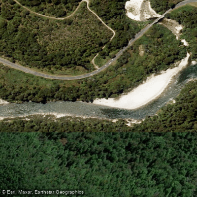
Buller River
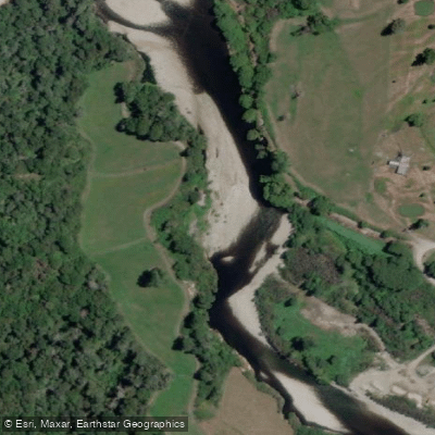
Inangahua River
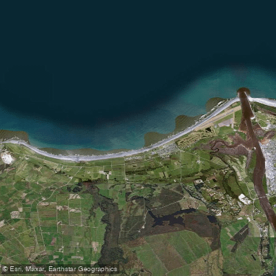
Carters Beach
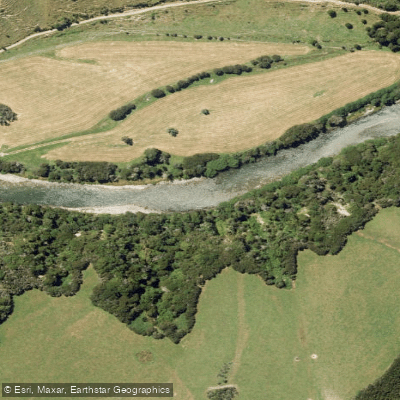
Maruia River
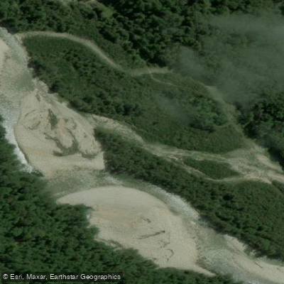
Waitahu River
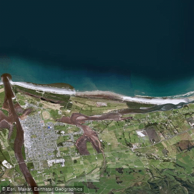
North Beach
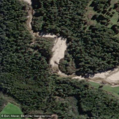
Ōkari River
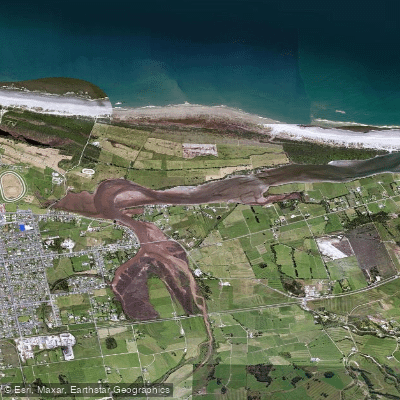
Orowaiti Lagoon
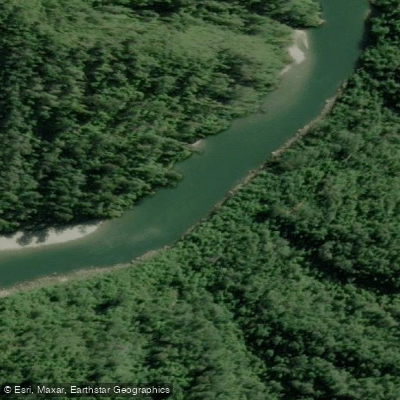
Mōkihinui River
Explore West Coast waters
Top paddling waters
No waters available right now.
Popular Cities
Loading popular cities...
Explore near Waitakere or Nile River

Smarter Paddling Starts in the App.
Paddleways gives you everything you need to plan smarter, paddle better, and own every trip from first launch to takeout.