Mōkihinui River
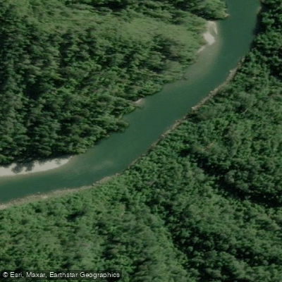
Mōkihinui River
- Boat Ramps
- 0
- Access Points
- 0
- Campsites
- 1
The Mōkihinui River flows on the West Coast of New Zealand's South Island, approximately 40 kilometres north of Westport. The river drains a 750 km² catchment, with three main tributaries — the South Branch, the North Branch, and the Hemphill River — converging before passing through a narrow gorge above Seddonville and emptying into the Karamea Bight. From the confluence of the tributaries, the main paddling reach is approximately 27 kilometres to the sea.
The most commonly paddled section runs from the gorge down to the main road bridge, a trip described as pleasant and manageable. The gorge itself contains a number of bouldery rapids requiring skill to negotiate. The most technically demanding stretch lies between the Forks and Specimen Creek, where large boulders deposited by a 1929 earthquake dam created a section rated III+/IV depending on flow. At moderate summer flows the river is more forgiving, with rapids generally up to Class III+, but difficulty increases significantly at higher flows, when half a dozen rapids can reach Class IV. The gauge used for trip planning is the Mōkihinui River at Welcome Bay, with 30 cumecs considered a good low packrafting flow. Flood conditions are considered unsafe for packrafts.
Access from the west allows paddlers to walk in, stay overnight, and paddle out. The Old Ghost Road track also provides access from the Buller end by foot or bike, with paddlers able to join the river at a point suited to their skill level. The Mōkihinui Forks Hut provides accommodation at the confluence of the North Branch and the main river.
The gorge section passes through thick native bush with rugged gorge walls, and the upper river valley features extensive grassy river flats and swampy land, a legacy of the 1929 earthquake sedimentation. Whio (blue duck) and large trout have been observed along the river. Logs have been noted in the river in recent years, making thorough scouting advisable.
The North Branch, accessed via Johnson Hut by fly-in or multi-day walk, is a steeper and more committing option rated Grade IV, dropping an average of 20 metres per kilometre over its first 10 kilometres through continuous boulder gardens in granite geology. Since 2019, 64,400 hectares of the Mōkihinui catchment, including 15 kilometres of riverbed, have been incorporated into Kahurangi National Park.
Water access, boat ramps & amenities
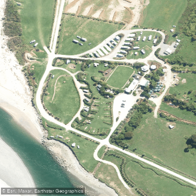
Learn how to get on Mōkihinui River. Uncover great paddling access points, boat ramps, and all the facilities you need for an unforgettable day on the water. Some locations shown may border or include private property. Always check property boundaries and applicable regulations before visiting. PaddleWays's Public & Private Land layer can help you plan your access with confidence.
Paddle smarter with real-time insights
Whether you're en route and conditions shift or you're looking for the best spot based on current flows, we enable you to make informed decisions on the fly.







West Coast licenses and regulations
No licenses or regulations available for West Coast.
Find Places to Paddle

Over 400,000 Places to Paddle
Every user gets free access to launch points, boat ramps, and public property parcels.


Water and weather conditions (10 day forecast)
See the best times to paddle Mōkihinui River and check the forecast before you go.
No forecast data available.
Paddling near Mōkihinui River
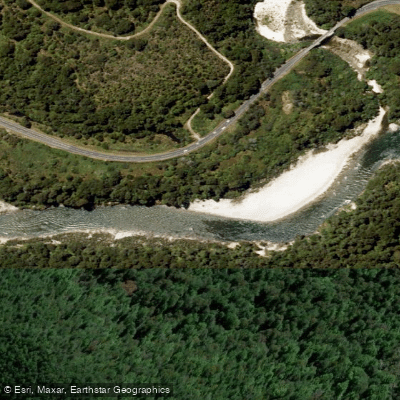
Buller River
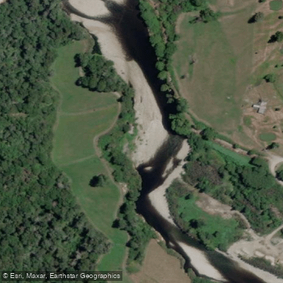
Inangahua River
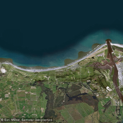
Carters Beach
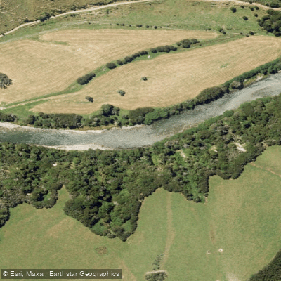
Maruia River
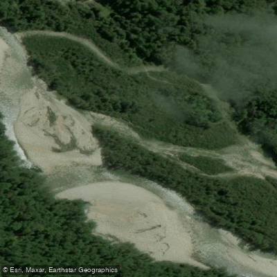
Waitahu River
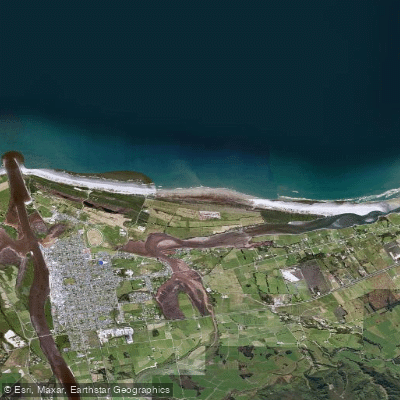
North Beach
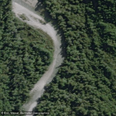
Waitakere or Nile River
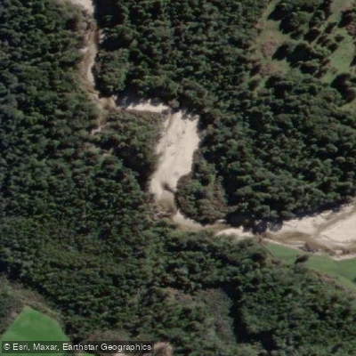
Ōkari River
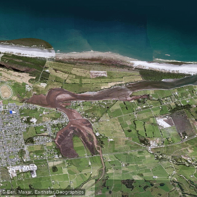
Orowaiti Lagoon
Explore West Coast waters
Top paddling waters
No waters available right now.
Popular Cities
Loading popular cities...
Explore near Mōkihinui River
Access points
Nearby waters
More in West Coast

Smarter Paddling Starts in the App.
Paddleways gives you everything you need to plan smarter, paddle better, and own every trip from first launch to takeout.