Carters Beach
- Saltwater
- Beach
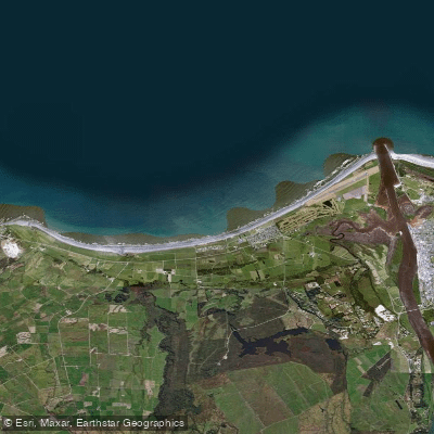
Carters Beach
- Saltwater
- Beach
- Sq. miles
- 1.1
- Boat Ramps
- 0
- Access Points
- 0
- Campsites
- 1
Carters Beach is a nine-kilometer-long, north-facing sandy beach located six kilometers west of Westport on the West Coast of the South Island. Its north-facing aspect and position provide a degree of shelter, contributing to its reputation as one of the best and safest swimming beaches on the West Coast. The beach is directly accessible from State Highway 67A, and the Carters Beach Top Ten Holiday Park is situated right on the beachfront, providing convenient facilities for visitors. The beach itself is spacious, offering ample room for launching and landing paddlecraft directly from the sand. The area is a starting point for the Kawatiri Coastal Trail, a wide and smooth 40-kilometer path that connects to nearby destinations like Tauranga Bay, a sheltered surfing beach, and Cape Foulwind, which features a famous seal colony and a lighthouse walkway. These landmarks provide clear objectives for coastal paddling trips or combined paddle-and-hike excursions.
The overall character is that of a classic, expansive West Coast beach with significant exposure to the Tasman Sea. Paddlers must be acutely aware of prevailing weather and sea conditions, as the area is known for heavy weather and high seas, as evidenced by maritime incidents. The beach is adjacent to the mouth of the Buller River, which is noted for a treacherous, continuously shifting sandbar at its entrance, a significant hazard for any craft attempting to cross. While the beach is safe for swimming and wave-jumping, the open coast means conditions can change rapidly. The water body's aesthetic is defined by a long, sandy shoreline suitable for activities like kite surfing and gathering driftwood, backed by holiday parks and coastal vegetation. Wildlife of note includes the New Zealand fur seal colony at nearby Cape Foulwind.
Water access, boat ramps & amenities
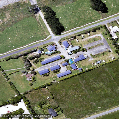
Learn how to get on Carters Beach. Uncover great paddling access points, boat ramps, and all the facilities you need for an unforgettable day on the water. Some locations shown may border or include private property. Always check property boundaries and applicable regulations before visiting. PaddleWays's Public & Private Land layer can help you plan your access with confidence.
Paddle smarter with real-time insights
Whether you're en route and conditions shift or you're looking for the best spot based on current flows, we enable you to make informed decisions on the fly.







West Coast licenses and regulations
No licenses or regulations available for West Coast.
Find Places to Paddle

Over 400,000 Places to Paddle
Every user gets free access to launch points, boat ramps, and public property parcels.


Tides, wind & water conditions (10 day forecast)
On open water, wind and tide matter as much as the weather. See the best times to paddle Carters Beach and check the marine forecast before you launch.
Loading tide predictions…
Paddling near Carters Beach
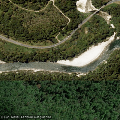
Buller River
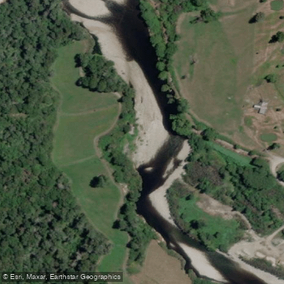
Inangahua River
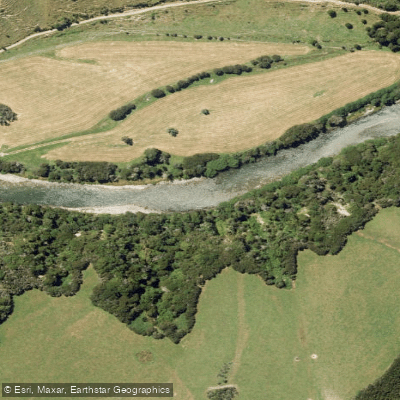
Maruia River
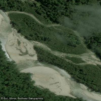
Waitahu River
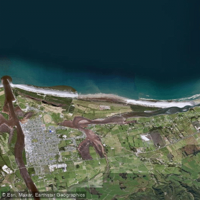
North Beach
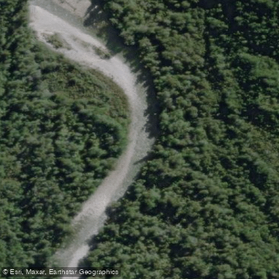
Waitakere or Nile River
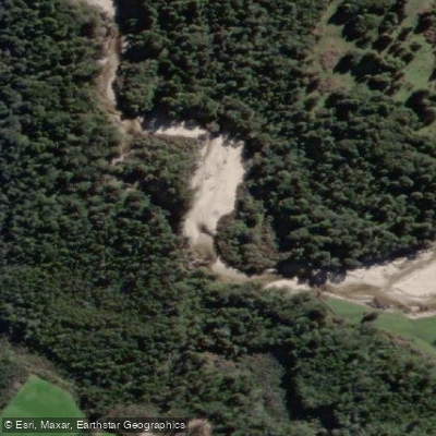
Ōkari River
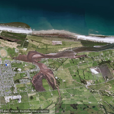
Orowaiti Lagoon
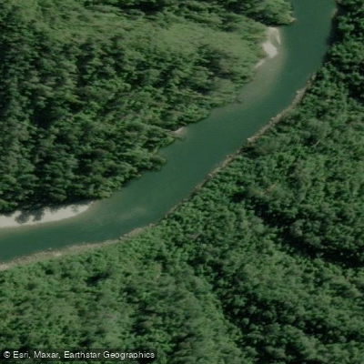
Mōkihinui River
Explore West Coast waters
Top paddling waters
No waters available right now.
Popular Cities
Loading popular cities...
Explore near Carters Beach

Smarter Paddling Starts in the App.
Paddleways gives you everything you need to plan smarter, paddle better, and own every trip from first launch to takeout.