Maruia River
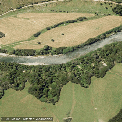
Maruia River
- Boat Ramps
- 0
- Access Points
- 0
- Campsites
- 1
The Maruia River in New Zealand's Nelson/Marlborough region offers two distinct paddling experiences: a beginner-friendly multi-day run through beech forest, and the iconic Maruia Falls, which draws experienced kayakers from around the world.
The main recreational run is approximately 25 km, rated Grade 2 to 2+, with a put-in at approximately -42.136104, 172.221773 and a take-out at approximately -41.976594, 172.204250. The river begins as easy Class I/II through farmland before reaching the crux at Staghead (Stags Head) Stream, a Grade 3 rapid that can be scouted and portaged on either side. The majority of easy rapids are formed over gravel beds, while the harder boulder garden rapids result from slips and rockfall. The run is manageable in a single day but lends itself well to an overnight trip, with river terraces in the beech forest providing camping options. The recommended flow range is any level that is not flooding.
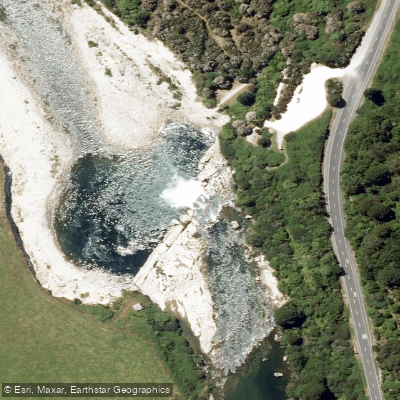
Maruia Falls, located approximately 10.6 km south of Highway 6 on Highway 65, is a separate and far more serious undertaking. The falls are roughly 10 metres in height and are considered suitable only for experienced boaters. Access involves following Highway 6 west from Murchison for 11 km, then turning south on Highway 65. A trail from the parking area leads up to a point about 100 yards above the lip, and a larger trail descends to the base of the falls. The falls have attracted high-profile kayakers internationally and are a feature of the annual Buller Fest event based in Murchison. Flow conditions significantly affect the character of the drop, with higher water producing notably different landing dynamics.
Below the falls, the river flows quietly to its confluence with the Buller River, a distance of approximately 21 km from the falls, with only a slight average gradient. The upper Maruia, above the main recreational section, is generally too shallow and braided for most craft except in flood conditions. The scenery along the river corridor is rated as exceptional, and the overall recreational value is considered high.
Water access, boat ramps & amenities
Learn how to get on Maruia River. Uncover great paddling access points, boat ramps, and all the facilities you need for an unforgettable day on the water. Some locations shown may border or include private property. Always check property boundaries and applicable regulations before visiting. PaddleWays's Public & Private Land layer can help you plan your access with confidence.
Paddle smarter with real-time insights
Whether you're en route and conditions shift or you're looking for the best spot based on current flows, we enable you to make informed decisions on the fly.







Tasman licenses and regulations
No licenses or regulations available for Tasman.
Find Places to Paddle

Over 400,000 Places to Paddle
Every user gets free access to launch points, boat ramps, and public property parcels.


Water and weather conditions (10 day forecast)
See the best times to paddle Maruia River and check the forecast before you go.
No forecast data available.
Paddling near Maruia River
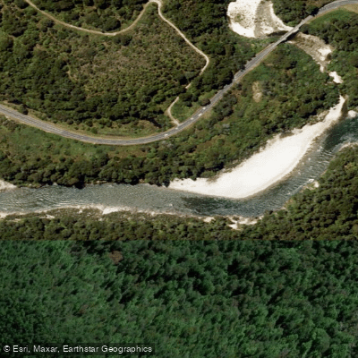
Buller River
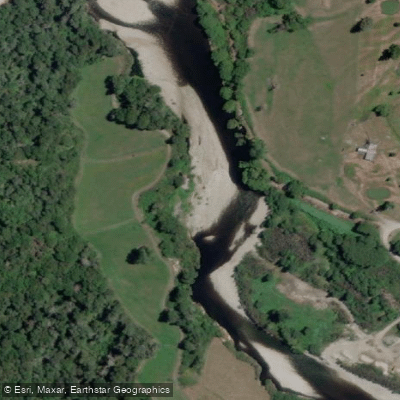
Inangahua River
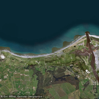
Carters Beach
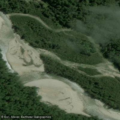
Waitahu River
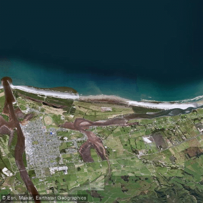
North Beach
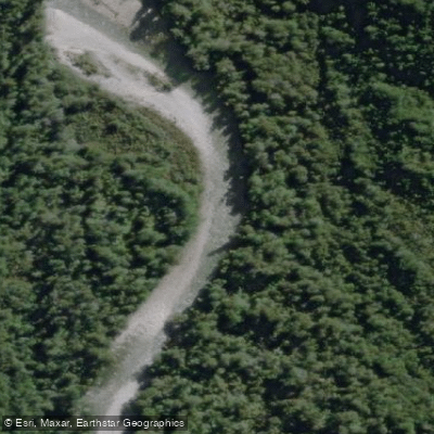
Waitakere or Nile River
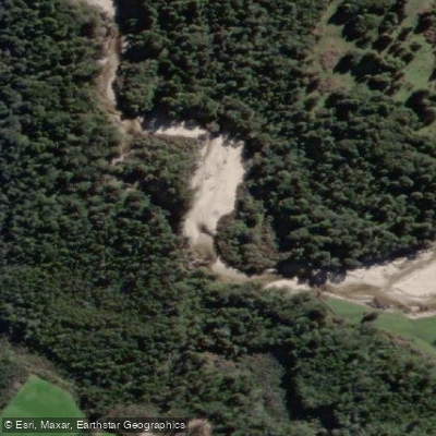
Ōkari River
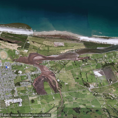
Orowaiti Lagoon
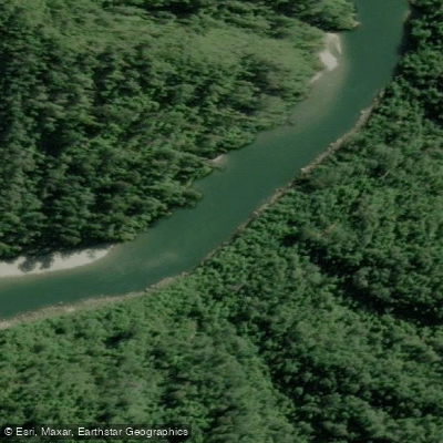
Mōkihinui River
Explore Tasman waters
Top paddling waters
No waters available right now.
Popular Cities
Loading popular cities...
Explore near Maruia River

Smarter Paddling Starts in the App.
Paddleways gives you everything you need to plan smarter, paddle better, and own every trip from first launch to takeout.