Inangahua River
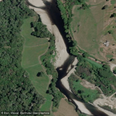
Inangahua River
- Boat Ramps
- 0
- Access Points
- 0
- Campsites
- 1
The Inangahua River flows through forest and farmland in the West Coast region of New Zealand's South Island, eventually joining the Buller River near the Inangahua settlement. It is a medium to large river, generally clear with a slight brown tinge during freshes. The river runs approximately 29 kilometres between Reefton and Inangahua Landing, with an average gradient of roughly 9.6 metres per kilometre in its upper section and a very slight gradient through the middle reaches.
The river's character changes significantly along its length. Above Reefton, the upper section has been canoed under high flow conditions from the Tobias Bridge, with most trips beginning at Branch Bridge. This section carries an intermediate recreational rating. The middle section from Reefton to Inangahua Landing is very braided across a wide river valley with a shingle bed, and is rated low for recreational value with uninspiring scenery. Below Inangahua Landing, the river is confined to a single channel between low, rocky and shingle banks, with stone blocks placed on most corners to prevent erosion, before joining the Buller at Inangahua Junction.
The upper section is described as picturesque, while the braided middle reaches are considered uninspiring. The river is not jet boated above Reefton, and swimming occurs only at Black's Point. High flow conditions appear to be preferable for paddling the upper section, as the river has been canoed and could be rafted under such conditions.
Access to the river above Reefton is straightforward, with State Highway 7 running close to the true right bank and numerous roadside access points. Below Reefton, access is more limited but available via Brazils, O'Grady, Golf Links, and Perseverance Road, as well as Landing Bridge. The right-bank tributaries — including the Waitahu River, Awarau (Larry) River, Boatman's Creek, Landing Creek, and Rough Creek — are larger and road-accessible, with the Waitahu providing a short braided shingle trip suitable for canoeists and small rafts, accessible by road 8 kilometres above its confluence with the Inangahua.
Water access, boat ramps & amenities
Learn how to get on Inangahua River. Uncover great paddling access points, boat ramps, and all the facilities you need for an unforgettable day on the water. Some locations shown may border or include private property. Always check property boundaries and applicable regulations before visiting. PaddleWays's Public & Private Land layer can help you plan your access with confidence.
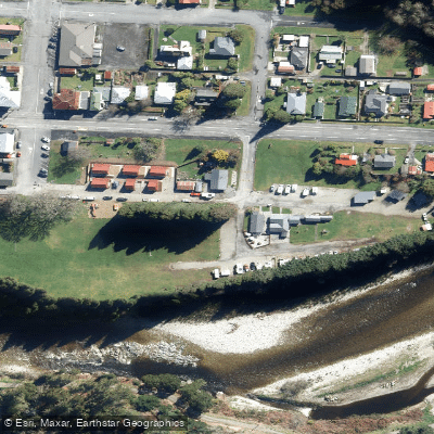
Paddle smarter with real-time insights
Whether you're en route and conditions shift or you're looking for the best spot based on current flows, we enable you to make informed decisions on the fly.







West Coast licenses and regulations
No licenses or regulations available for West Coast.
Find Places to Paddle

Over 400,000 Places to Paddle
Every user gets free access to launch points, boat ramps, and public property parcels.


Water and weather conditions (10 day forecast)
See the best times to paddle Inangahua River and check the forecast before you go.
No forecast data available.
Paddling near Inangahua River
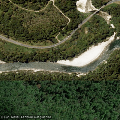
Buller River
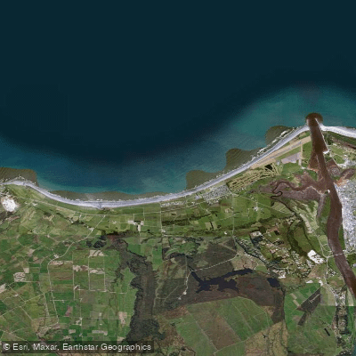
Carters Beach
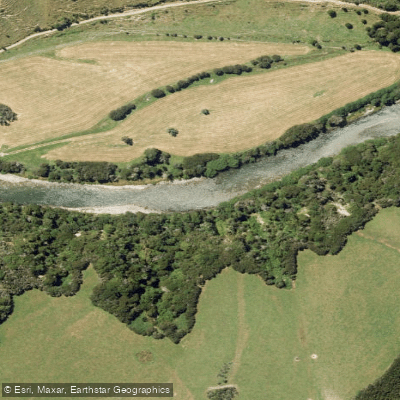
Maruia River
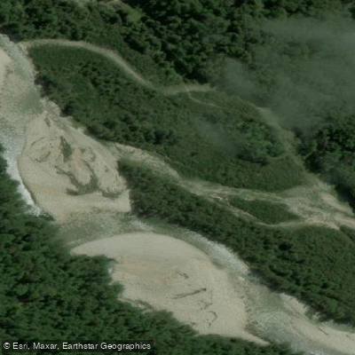
Waitahu River
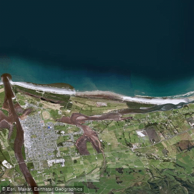
North Beach
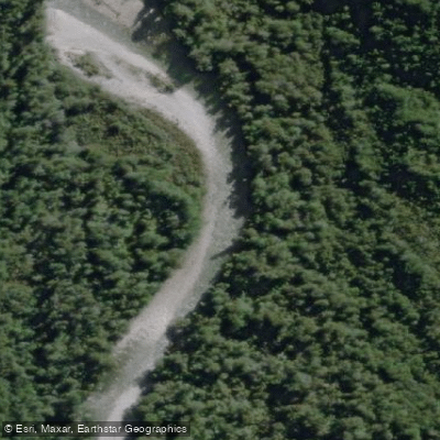
Waitakere or Nile River
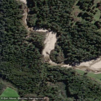
Ōkari River
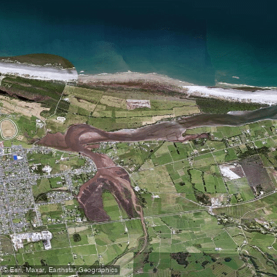
Orowaiti Lagoon
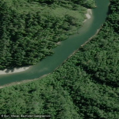
Mōkihinui River
Explore West Coast waters
Top paddling waters
No waters available right now.
Popular Cities
Loading popular cities...
Explore near Inangahua River
Access points
Nearby waters
More in West Coast

Smarter Paddling Starts in the App.
Paddleways gives you everything you need to plan smarter, paddle better, and own every trip from first launch to takeout.