Crooked River
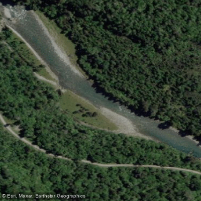
Crooked River
- Boat Ramps
- 0
- Access Points
- 0
- Campsites
- 0
The Crooked River flows 31 kilometres from its headwaters in the Kaimata Range of the Southern Alps, dropping from approximately 1,250 metres elevation to Lake Brunner at 85 metres on New Zealand's West Coast, South Island. The river takes its name from the erratic, winding path it follows throughout its length.
The character of the river changes significantly along its course. Near Lake Brunner, the water moves through relatively flat farmland in a calmer, wider channel. Moving upstream toward the source, the river transitions into narrow gorges with rapids that have made it a notable whitewater destination. The gorge section is described as featuring super deep gorges and crystal clear water, with whitewater in the Class IV–V range. One notable feature is the Auto Boof Rapid within the gorge section.
Access to the gorge put-in requires a 3-kilometre hike carrying a boat through terrain characterised by knee-deep mud, dense bush, and steep inclines. The walk takes approximately 50 minutes for those familiar with the route but can extend to three hours for those without local knowledge. The river is located roughly 40 minutes by road from Greymouth.
The gorge run is considered committing whitewater, and it is consistently recommended for solid Grade 5 paddlers with knowledge of the area or those paddling with someone who has that experience. The middle to lower sections offer Grade 3 paddling, and the lower section runs at Grade 2+, providing options for paddlers of varying skill levels. The river is noted for being cold — reportedly colder than the nearby Arahura River.
One tributary, the Poerua River from Lake Poerua, feeds into the Crooked River. There has been some minor silt build-up noted in the river's middle reaches. Two backcountry huts are available along the river for trampers, which may be of logistical interest to paddlers undertaking multi-day trips. The river also attracts trout fishers, so paddlers should expect to share the water with anglers, particularly in the calmer lower sections.
Water access, boat ramps & amenities
Learn how to get on Crooked River. Uncover great paddling access points, boat ramps, and all the facilities you need for an unforgettable day on the water. Some locations shown may border or include private property. Always check property boundaries and applicable regulations before visiting. PaddleWays's Public & Private Land layer can help you plan your access with confidence.
Paddle smarter with real-time insights
Whether you're en route and conditions shift or you're looking for the best spot based on current flows, we enable you to make informed decisions on the fly.







West Coast licenses and regulations
No licenses or regulations available for West Coast.
Find Places to Paddle

Over 400,000 Places to Paddle
Every user gets free access to launch points, boat ramps, and public property parcels.


Water and weather conditions (10 day forecast)
See the best times to paddle Crooked River and check the forecast before you go.
No forecast data available.
Paddling near Crooked River
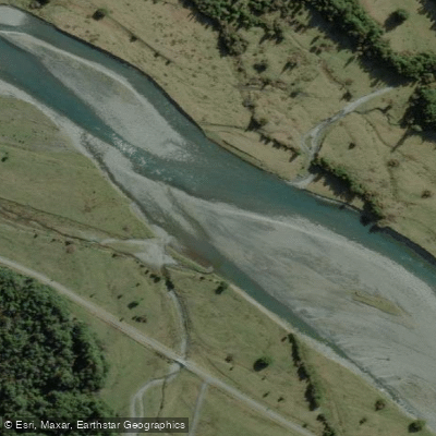
Arahura River
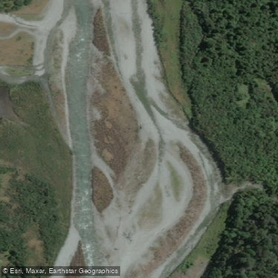
Taipo River
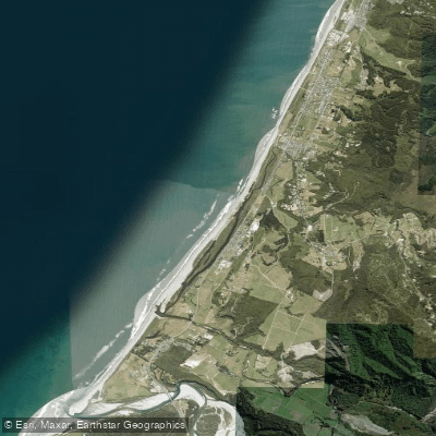
South Beach
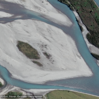
Hokitika River
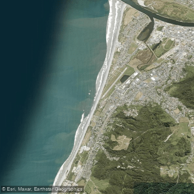
Kararo Beach
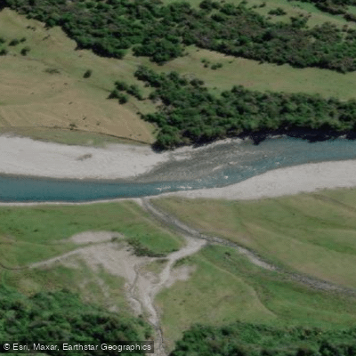
Kokatahi River
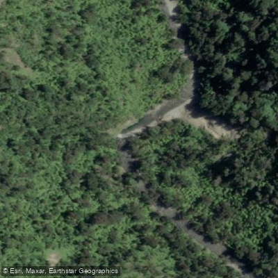
Punakaiki River
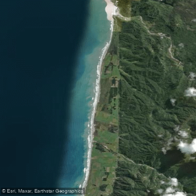
Pakiroa Beach
Toaroha River
Explore West Coast waters
Top paddling waters
No waters available right now.
Popular Cities
Loading popular cities...
Explore near Crooked River

Smarter Paddling Starts in the App.
Paddleways gives you everything you need to plan smarter, paddle better, and own every trip from first launch to takeout.