Pakiroa Beach
- Saltwater
- Beach
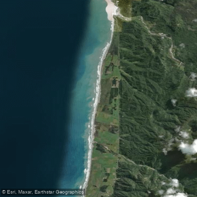
Pakiroa Beach
- Saltwater
- Beach
- Sq. miles
- 1.6
- Boat Ramps
- 0
- Access Points
- 0
- Campsites
- 1
Pakiroa Beach is a long, exposed beach on the West Coast of New Zealand's South Island, located in the Grey District. It is a 15-kilometer stretch of coastline, running south from Razorback Point. Access for paddlers is directly from the beach, with entry points available just off State Highway 6, also known as Coast Road. The southern end of the beach can be accessed via small streams that feed into the ocean. Parking and a freedom camping area are available near the road. The beach is characterized by its wild and rugged nature, with longshore drift causing ongoing erosion. For paddlers, the primary consideration is the exposure to prevailing winds and ocean swell. The sea state along the open beach can be predictable, allowing for a relaxed mental state and a good paddling rhythm, especially with a following breeze. However, conditions change dramatically near headlands. Approaching Razorback Point to the north, shoaling can amplify swell sets to alarming levels, with breaking waves possible very close to shore, requiring heightened awareness and course adjustments. The only significant landmark along the entire beach is the settlement of Barrytown. Paddling north from Pakiroa Beach leads to Razorback Point, Punakaiki, and Perpendicular Point, with destinations like Woodpecker Bay and Seal Island being several hours' journey further up the coast. Tide levels are a critical factor for any landing or river mouth exploration in this area, with spring tides and low water exposing rocky outcrops and creating shallow bars. The area holds cultural significance as a site of importance to Māori.
Water access, boat ramps & amenities
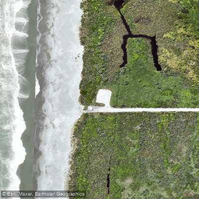
Learn how to get on Pakiroa Beach. Uncover great paddling access points, boat ramps, and all the facilities you need for an unforgettable day on the water. Some locations shown may border or include private property. Always check property boundaries and applicable regulations before visiting. PaddleWays's Public & Private Land layer can help you plan your access with confidence.
Paddle smarter with real-time insights
Whether you're en route and conditions shift or you're looking for the best spot based on current flows, we enable you to make informed decisions on the fly.







West Coast licenses and regulations
No licenses or regulations available for West Coast.
Find Places to Paddle

Over 400,000 Places to Paddle
Every user gets free access to launch points, boat ramps, and public property parcels.


Tides, wind & water conditions (10 day forecast)
On open water, wind and tide matter as much as the weather. See the best times to paddle Pakiroa Beach and check the marine forecast before you launch.
Loading tide predictions…
Paddling near Pakiroa Beach
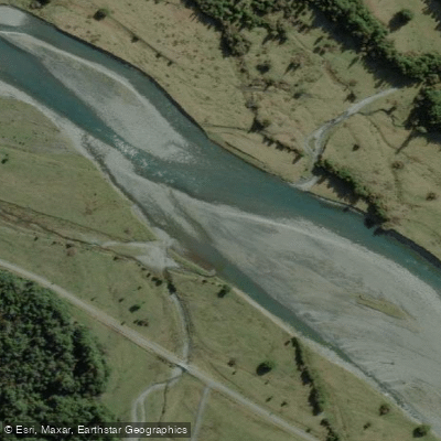
Arahura River
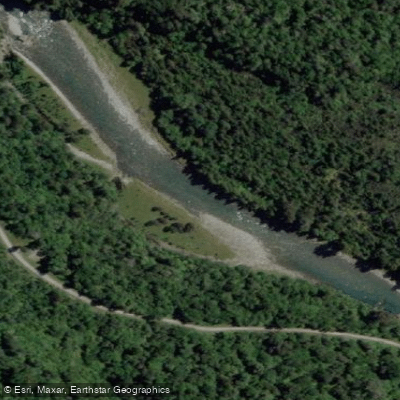
Crooked River
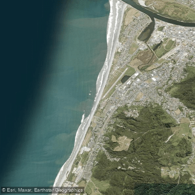
Kararo Beach
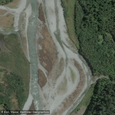
Taipo River
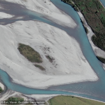
Hokitika River
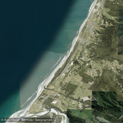
South Beach
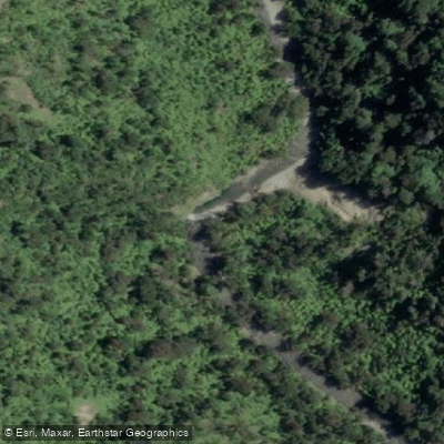
Punakaiki River
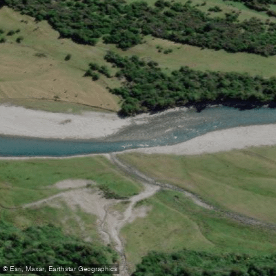
Kokatahi River
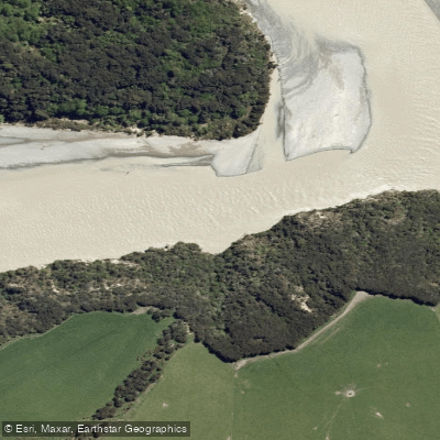
Waimakariri River
Explore West Coast waters
Top paddling waters
No waters available right now.
Popular Cities
Loading popular cities...
Explore near Pakiroa Beach
Access points
Nearby waters
More in West Coast

Smarter Paddling Starts in the App.
Paddleways gives you everything you need to plan smarter, paddle better, and own every trip from first launch to takeout.