Punakaiki River
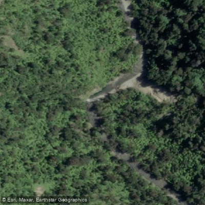
Punakaiki River
- Boat Ramps
- 0
- Access Points
- 0
- Campsites
- 0
The Punakaiki River is a small river on New Zealand's West Coast, flowing approximately 24 kilometres before reaching the coast south of Dolomite Point at Punakaiki. It carries an average gradient of 1:125 (8m/km). Despite its modest size under normal conditions, the river has a notably larger catchment area than the nearby Porarari River, meaning it can rise to a substantially greater volume during flood events.
The river flows through a wide valley with bush-covered hills on either side. The valley floor is largely in grass with scattered willows, and the riverbed consists of fine gravel and sand. Large limestone bluffs occur along the valley edges, and the surrounding area contains numerous caves from which small creeks emerge. The scenery has been rated as impressive.
The lower approximately 10 kilometres of the river has been jet boated during flood conditions, and the river has been canoed. A rough track runs up the valley and could provide access for canoeists, though this track becomes flooded when the river is running high — which is also when conditions are most suitable for paddling. This presents a practical access challenge: the best water levels for paddling coincide with the track being impassable.
Overall, the recreational value of the Punakaiki has been assessed as insignificant, reflecting the limited paddling opportunities under typical low-water conditions rather than any particular hazard. Paddlers considering this river should be aware that viable conditions depend on elevated water levels, and that access logistics become complicated precisely at those times.
Water access, boat ramps & amenities
Learn how to get on Punakaiki River. Uncover great paddling access points, boat ramps, and all the facilities you need for an unforgettable day on the water. Some locations shown may border or include private property. Always check property boundaries and applicable regulations before visiting. PaddleWays's Public & Private Land layer can help you plan your access with confidence.
Paddle smarter with real-time insights
Whether you're en route and conditions shift or you're looking for the best spot based on current flows, we enable you to make informed decisions on the fly.







West Coast licenses and regulations
No licenses or regulations available for West Coast.
Find Places to Paddle

Over 400,000 Places to Paddle
Every user gets free access to launch points, boat ramps, and public property parcels.


Water and weather conditions (10 day forecast)
See the best times to paddle Punakaiki River and check the forecast before you go.
No forecast data available.
Paddling near Punakaiki River
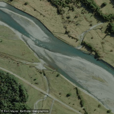
Arahura River
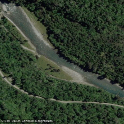
Crooked River
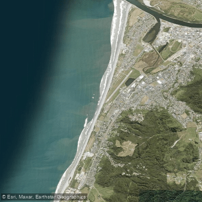
Kararo Beach
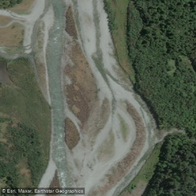
Taipo River
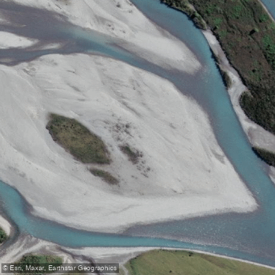
Hokitika River
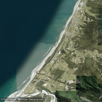
South Beach
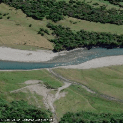
Kokatahi River
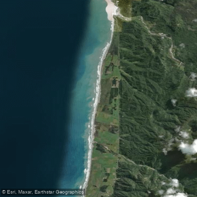
Pakiroa Beach
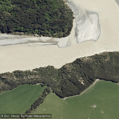
Waimakariri River
Explore West Coast waters
Top paddling waters
No waters available right now.
Popular Cities
Loading popular cities...
Explore near Punakaiki River

Smarter Paddling Starts in the App.
Paddleways gives you everything you need to plan smarter, paddle better, and own every trip from first launch to takeout.