Bankhead Lake
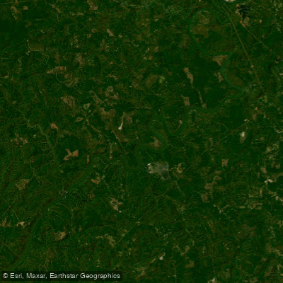
Bankhead Lake
- Boat Ramps
- 0
- Access Points
- 0
- Campsites
- 1
Bankhead Lake is a 9,200-acre reservoir located approximately 35 miles west of Birmingham, Alabama. Created by the impoundment of the Black Warrior River, this lake offers diverse paddling opportunities with its river-like appearance and meandering shoreline. The lake's primary uses include navigation, hydroelectric generation, flood control, and recreation.
Access points for paddlers are limited, with most of the shoreline remaining forested. Alabama Power operates public access sites. The lake's character transitions from a more river-like upper section to wider, lake-like waters in the lower portion.
Bankhead Lake is renowned for its fishing opportunities, particularly for bass species. Anglers can expect to find largemouth bass, spotted bass, striped bass, and crappie. In 2013, the state record for striped bass (69 lbs 9 oz) was caught here, potentially a world record for rod-and-reel catches.
The lake's shoreline features a mix of private residences and commercial marinas. Facilities for paddlers include boat docking, storage, and fueling stations at various marinas and fish camps. Camping opportunities are available in the vicinity.
Paddlers should be aware of potential hazards such as submerged stumps or trees, which may be present in some areas of the lake. Water levels can fluctuate due to the lake's role in flood control and hydroelectric generation.
The lake's year-round fishing opportunities suggest it may be accessible for paddling in multiple seasons. Wildlife enthusiasts may appreciate the forested shoreline, which likely harbors various bird and animal species typical of Alabama's aquatic ecosystems. The lake's aesthetic is characterized by its meandering shape and forested banks, offering a scenic paddling experience.
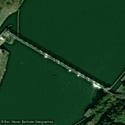
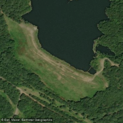
Water access, boat ramps & amenities
Learn how to get on Bankhead Lake. Uncover great paddling access points, boat ramps, and all the facilities you need for an unforgettable day on the water. Some locations shown may border or include private property. Always check property boundaries and applicable regulations before visiting. PaddleWays's Public & Private Land layer can help you plan your access with confidence.
Paddle smarter with real-time insights
Whether you're en route and conditions shift or you're looking for the best spot based on current flows, we enable you to make informed decisions on the fly.








Find Places to Paddle

Over 400,000 Places to Paddle
Every user gets free access to launch points, boat ramps, and public property parcels.


Water and weather conditions (10 day forecast)
See the best times to paddle Bankhead Lake and check the forecast before you go.
BLACK WARRIOR R AT BANKHEAD L&D NEAR BESSEMER AL
All Flow Stations
Paddling near Bankhead Lake
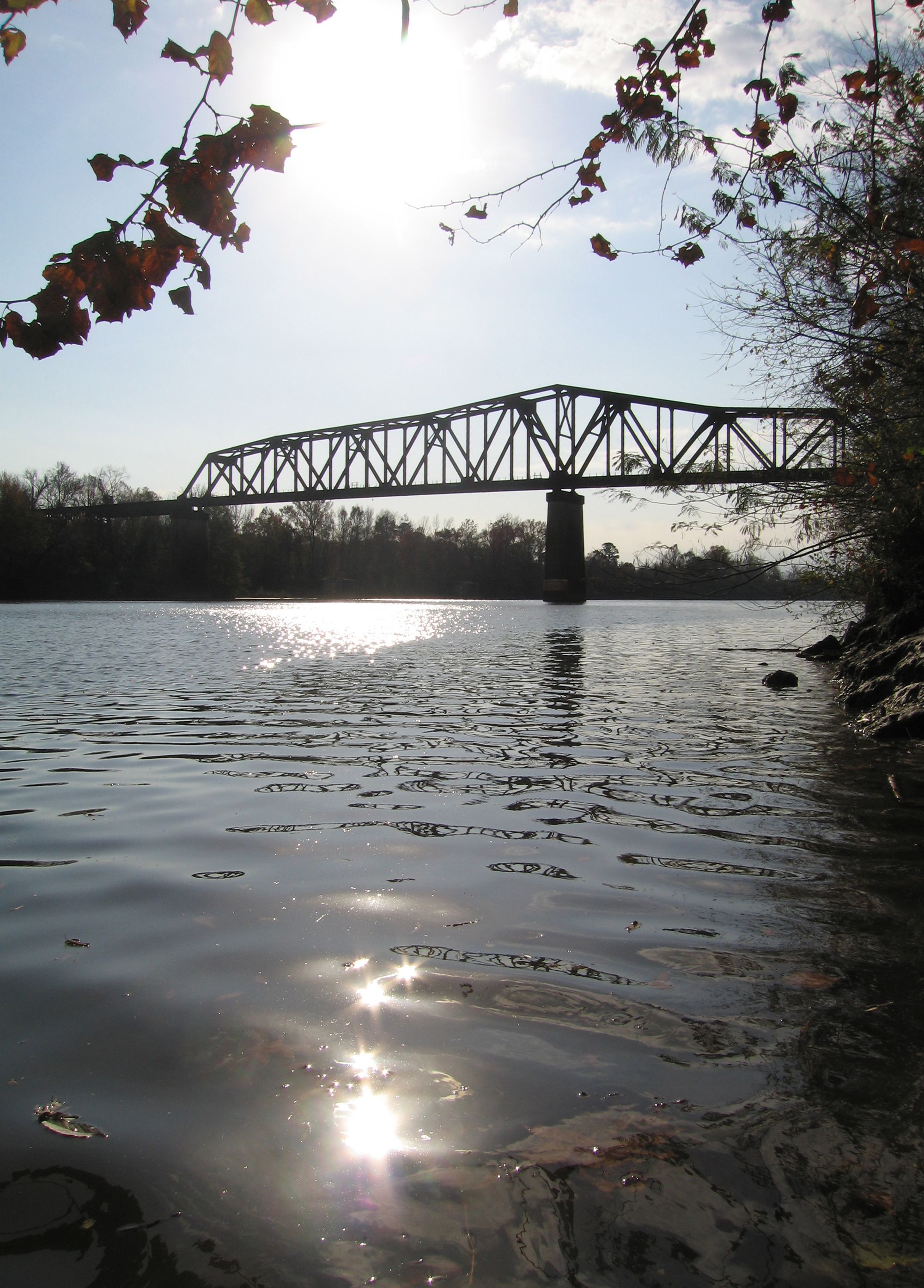
Black Warrior River
Demopolis Lake
Holt Lake
Cahaba River
Lay Lake
Mulberry Fork
Coosa River
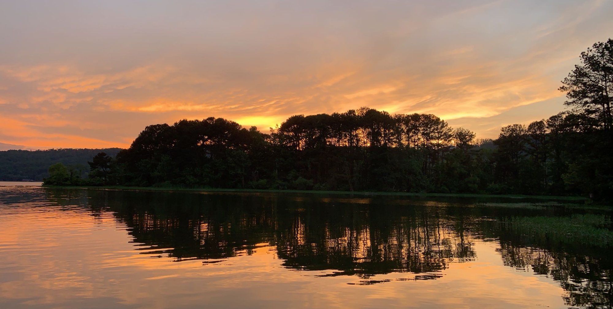
Oak Mountain Lake
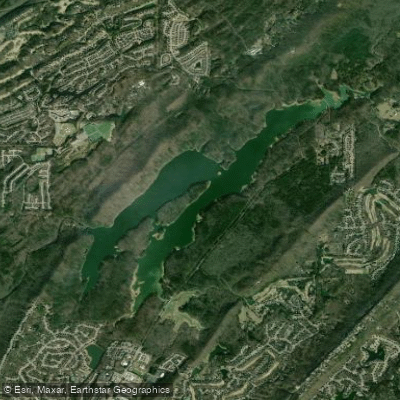
The Narrows
Explore Alabama waters
Top paddling waters
Popular Cities
Loading popular cities...
Explore near Bankhead Lake
Access points
Nearby waters
More in Alabama

Smarter Paddling Starts in the App.
Paddleways gives you everything you need to plan smarter, paddle better, and own every trip from first launch to takeout.