Big Wills Creek
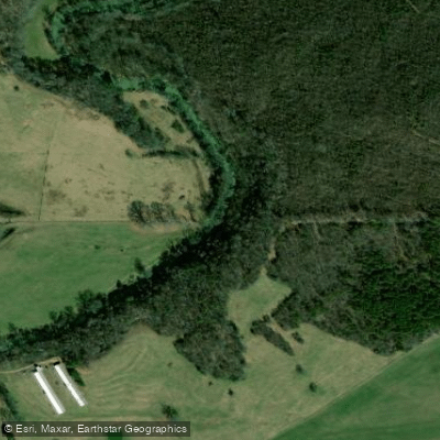
Big Wills Creek
- Boat Ramps
- 0
- Access Points
- 0
- Campsites
- 1
Big Wills Creek originates west of Mentone in DeKalb County, Alabama, flowing southwest through Big Wills Valley for approximately 76 miles before emptying into Neely Henry Lake in Etowah County, south of Gadsden. The creek drains a watershed of 286 square miles and passes through communities including Fort Payne, Lebanon, and Attalla. The waterway holds historical significance as the site of the world's first hydroelectric power plant, which led to the creation of Alabama Power and Southern Company.
The creek offers exceptional paddling for beginners and intermediate kayakers, with Class I-II rapids interspersed with flatwater sections. Nine distinct paddling sections provide options ranging from 5 to 10 miles, accommodating various skill levels and time commitments. Popular put-ins include Airport Road near Fort Payne, Shiloh Baptist Church, Stephens Gap Road, and Duck Springs Road where Big Wills Outfitters operates. The creek features numerous gravel bars perfect for rest stops and picnicking, while sharp turns and moderate current keep paddlers engaged without overwhelming novices.
Water levels significantly affect paddling quality, with flows around 250 cfs considered optimal, though the creek remains navigable from 105 to 600 cfs. The bottom composition varies from rocky shoals to gravel and occasional mud, with water clarity improving during dry periods despite agricultural runoff concerns. Several sections contain easy-to-navigate log jams and strainers that require attention but rarely pose serious obstacles for alert paddlers.
Wildlife viewing opportunities abound throughout the valley. Paddlers regularly encounter wood ducks, deer, turkey, raccoon, beaver, nutria, waterfowl, and occasionally river otters. High bluffs line portions of the creek, with at least one trickling waterfall visible from the water. The surrounding landscape alternates between wooded corridors and pastoral farmland, with Big Ridge rising prominently along river left in several sections.
Fort Payne serves as the primary access point for the upper sections, while Attalla provides services for lower reaches. Big Wills Campground in Attalla offers full-service camping with tubing opportunities on a shorter one-mile section. Paddlers should note a dangerous low-head dam with rebar and mill remnants below Highway 431 that requires portaging on river right.
Multi-day trips are feasible, with primitive camping available at Big Wills Outfitters and developed facilities at Big Wills Campground. The 10-mile section from Big Wills Outfitters to the campground makes an ideal overnight journey. Spring and early summer provide the most consistent water levels, though the creek flows year-round. Paddlers should check current conditions and be prepared for occasional obstructions following storms.
Water access, boat ramps & amenities
Learn how to get on Big Wills Creek. Uncover great paddling access points, boat ramps, and all the facilities you need for an unforgettable day on the water. Some locations shown may border or include private property. Always check property boundaries and applicable regulations before visiting. PaddleWays's Public & Private Land layer can help you plan your access with confidence.
Paddle smarter with real-time insights
Whether you're en route and conditions shift or you're looking for the best spot based on current flows, we enable you to make informed decisions on the fly.








Find Places to Paddle

Over 400,000 Places to Paddle
Every user gets free access to launch points, boat ramps, and public property parcels.


Water and weather conditions (10 day forecast)
See the best times to paddle Big Wills Creek and check the forecast before you go.
BIG WILLS CREEK AT STATE HWY 35 NR FORT PAYNE, AL
All Flow Stations
Paddling near Big Wills Creek

Tennessee River
Guntersville Lake
Wheeler Lake
Weiss Lake
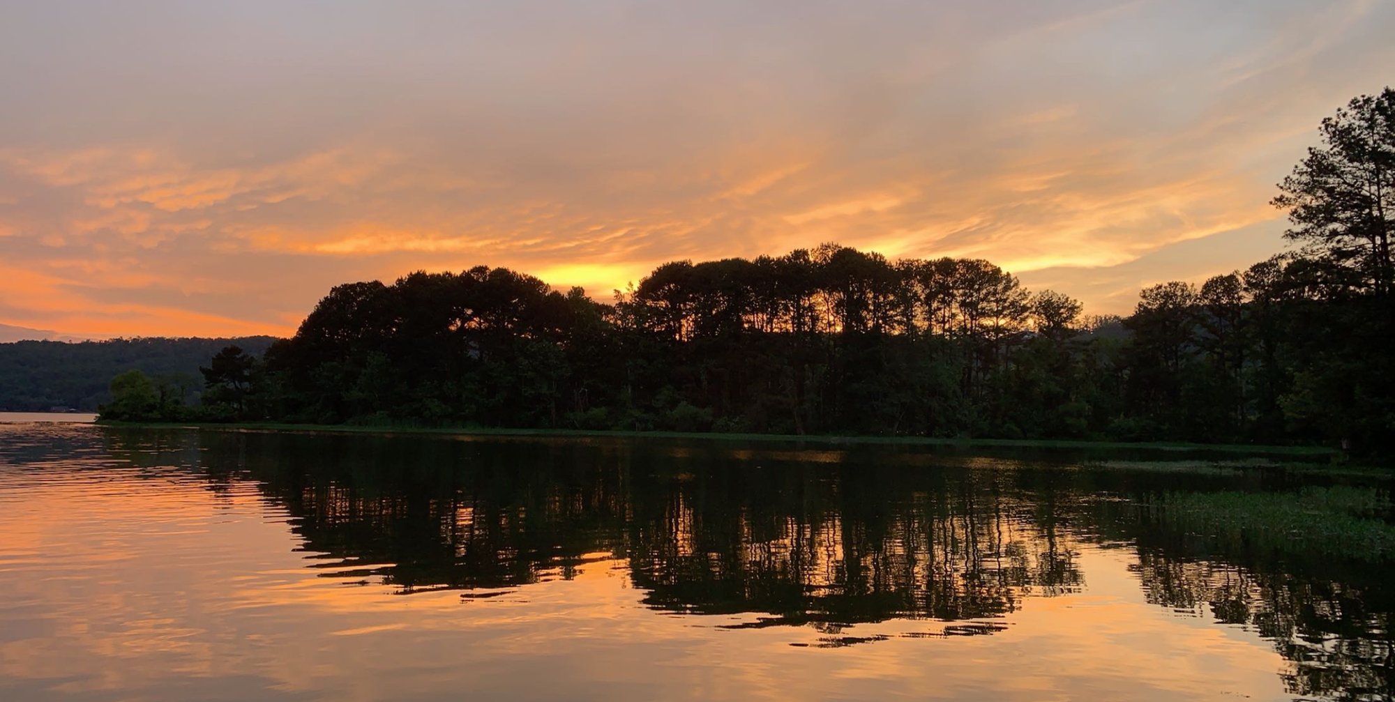
Coosa River
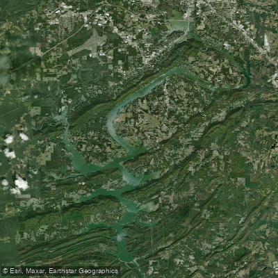
H Neely Henry Lake
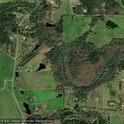
Short Creek
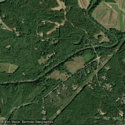
Mulberry Fork
Locust Fork
Town Creek
Explore Alabama waters
Top paddling waters
Popular Cities
Loading popular cities...
Explore near Big Wills Creek
Access points
Nearby waters
More in Alabama

Smarter Paddling Starts in the App.
Paddleways gives you everything you need to plan smarter, paddle better, and own every trip from first launch to takeout.