Weiss Lake
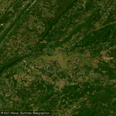
Weiss Lake
- Boat Ramps
- 6
- Access Points
- 6
- Campsites
- 2
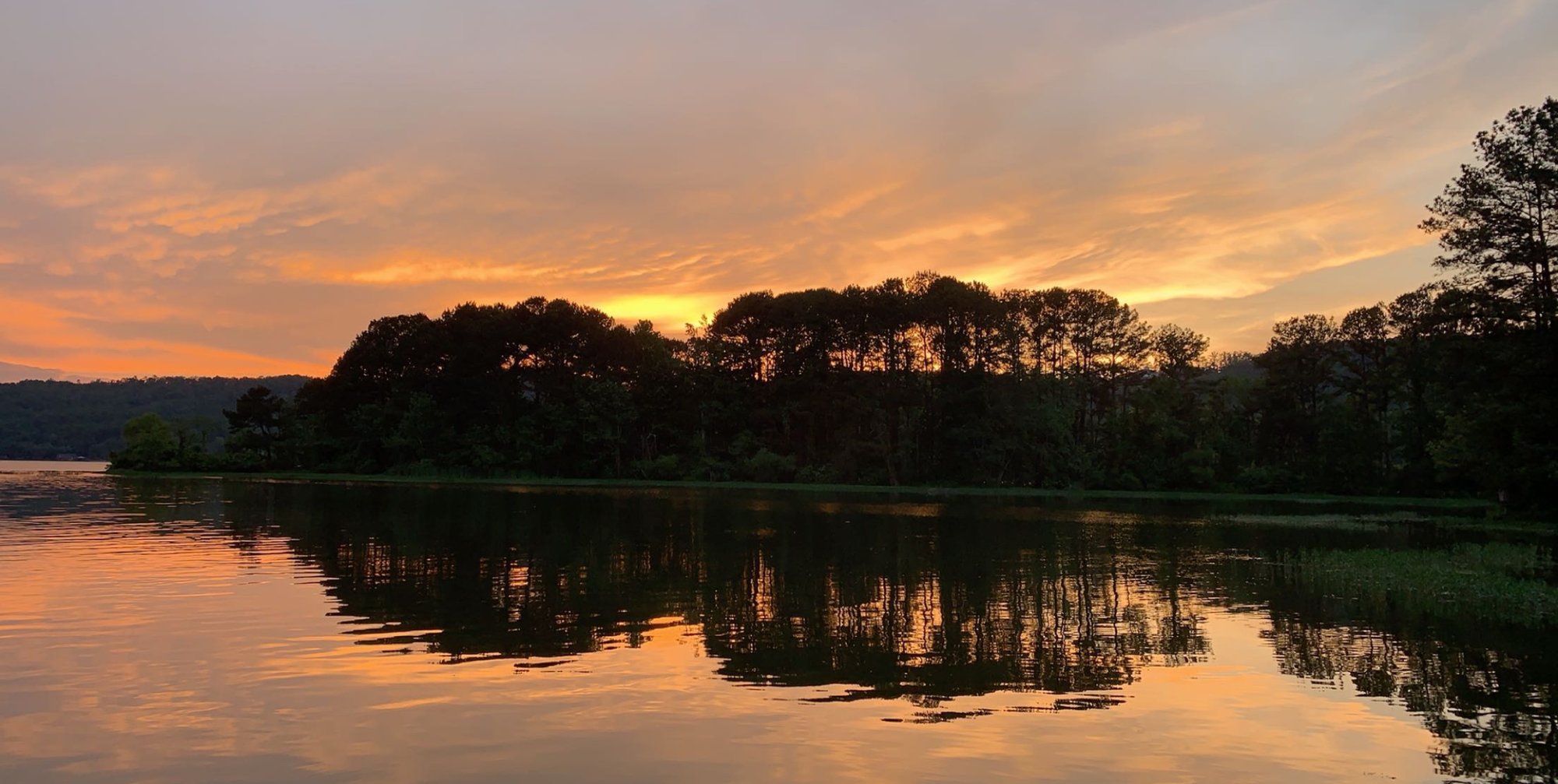
Weiss Lake, straddling the Alabama-Georgia border, offers 30,200 acres and 455 miles of shoreline for paddlers to explore. Known as the "Crappie Capital of the World," the lake features diverse habitats including shallow flats, large coves, underwater drop-offs, and deep channels. The lake's average depth is 10 feet, with a maximum depth of 62 feet.
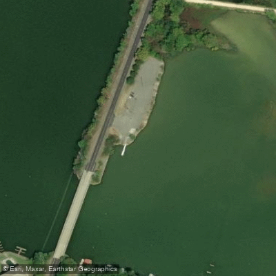
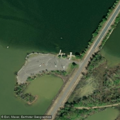
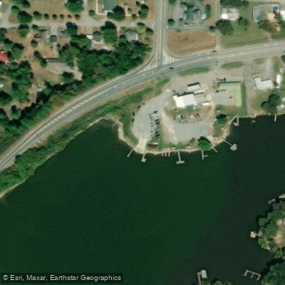
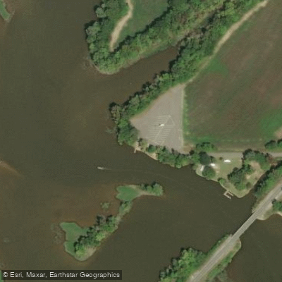
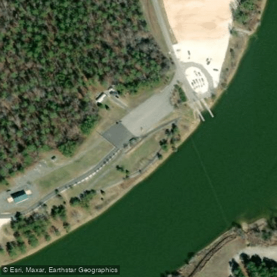
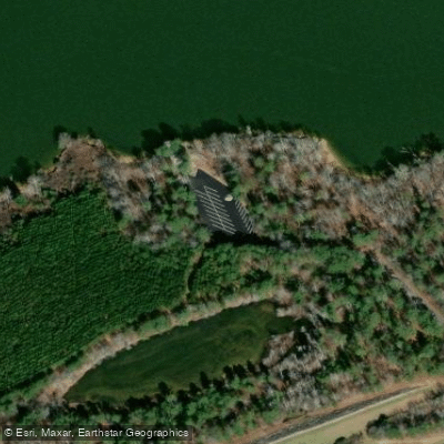
Access points include Lad Campground on Cherokee County Road 618 and Pine Cove Marina in Leesburg. Paddlers can also launch from several private marinas around the lake. The lake's water levels fluctuate seasonally by about 10 feet, so be aware of changing conditions.
Weiss Lake is popular for fishing, with abundant crappie, largemouth bass, and catfish. The best fishing months are February through May. Paddlers should be cautious of boat traffic, especially during peak fishing seasons.
Notable sights include Yellow Creek Falls, which flows into the lake near Leesburg and is accessible by kayak. The Cornwall Iron Furnace, a National Historic Site, is located on the lakeshore and offers picnic facilities.
Paddlers can explore the lake's numerous coves and islands, with primitive campsites available along the shoreline for multi-day trips. A paddle to Yellow Creek Falls is a recommended day trip.
The lake is generally clean and well-maintained, with clear waters allowing visibility of underwater features. Wildlife viewing opportunities include various fish species, ducks, and potentially beavers and otters.
Facilities for paddlers are available at several marinas and campgrounds around the lake. Always check local regulations and water conditions before paddling, as the lake can experience significant changes in water flow due to its use for hydroelectric power generation.
Water access, boat ramps & amenities
Learn how to get on Weiss Lake. Uncover great paddling access points, boat ramps, and all the facilities you need for an unforgettable day on the water. Some locations shown may border or include private property. Always check property boundaries and applicable regulations before visiting. PaddleWays's Public & Private Land layer can help you plan your access with confidence.
Paddle smarter with real-time insights
Whether you're en route and conditions shift or you're looking for the best spot based on current flows, we enable you to make informed decisions on the fly.








Find Places to Paddle

Over 400,000 Places to Paddle
Every user gets free access to launch points, boat ramps, and public property parcels.


Water and weather conditions (10 day forecast)
See the best times to paddle Weiss Lake and check the forecast before you go.
COOSA RIVER AT STATE LINE, AL/GA
All Flow Stations
Paddling near Weiss Lake

Tennessee River
Coosa River
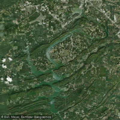
H Neely Henry Lake
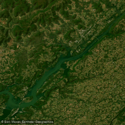
Guntersville Lake
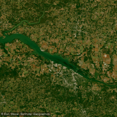
Wheeler Lake
Logan Martin Lake
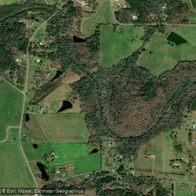
Short Creek
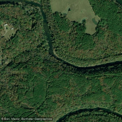
Locust Fork
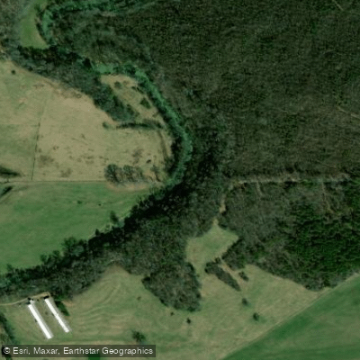
Big Wills Creek
Explore Alabama waters
Top paddling waters
Popular Cities
Loading popular cities...
Explore near Weiss Lake
Access points
Nearby waters
More in Alabama

Smarter Paddling Starts in the App.
Paddleways gives you everything you need to plan smarter, paddle better, and own every trip from first launch to takeout.