Curated by PaddleWays
RouteClass I–II
- Distance
- 1.7 mi
- Paddle time
- ~0.5 hrs
- Put-in → take-out
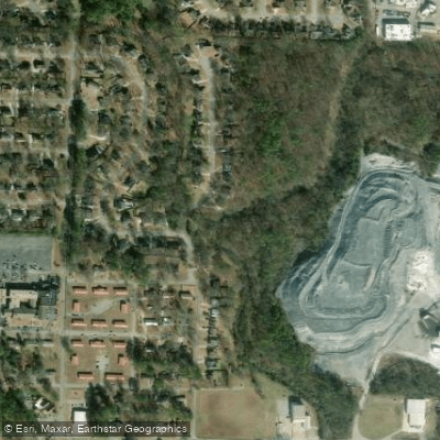
- Helena Amphitheater Park Access → Flemming Park Boat Ramp
Narrow creek blocked by fallen trees
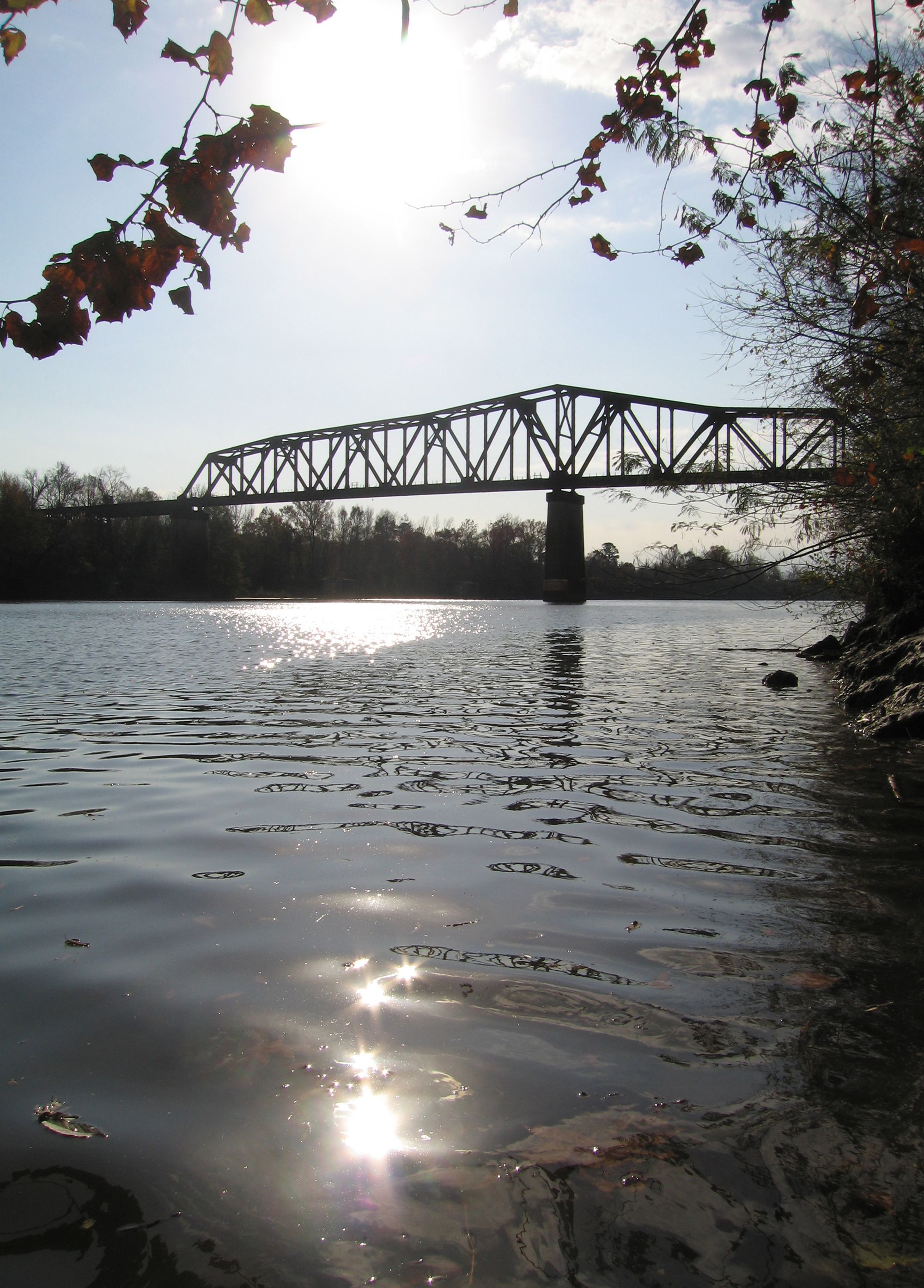
Buck Creek originates in the Shelby County area and flows northwest for approximately 17.3 miles before joining the Cahaba River near Helena. The creek maintains a generally southeast to northwest flow direction, unusual for the region's typical drainage patterns. This tributary passes through the communities of Alabaster, Pelham, and Helena, draining portions of one of Alabama's fastest-growing suburban areas.
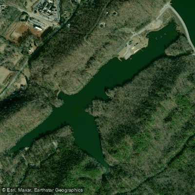
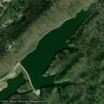
The creek features a notable impoundment at Lake Davidson in Helena's Old Town district, created by a dam upstream of State Route 261. This dam, illuminated at night, historically provided water wheel power for industry at the turn of the 20th century. Below the dam, Buck Creek continues northwest past several road crossings before reaching its confluence with the Cahaba River.
Paddling opportunities center on a popular 5-mile route from Helena's Buck Creek Amphitheater in Old Town to the Cahaba River confluence. This section offers easy, family-friendly paddling suitable for beginners, typically taking three to five hours depending on pace and water levels. The gradient remains gentle throughout, with primarily flatwater conditions. Commercial outfitters provide shuttle services and rentals, making this an accessible introduction to Alabama paddling.
The creek supports diverse aquatic life including largemouth bass, bluegill, catfish, redeye bass, and spotted bass. Fishing, wading, and wildlife observation attract visitors year-round. Snail populations are notably abundant in certain sections. The riparian corridor provides habitat for turtles, various snake species, and waterfowl.
Spring and early summer offer optimal paddling conditions when water levels remain adequate. Late summer and fall often see significantly reduced flows, occasionally requiring paddlers to portage or drag watercraft over shallow sections. The creek's urban watershed means water levels respond quickly to rainfall events.
Access points include the Buck Creek Amphitheater launch in Helena at the Old Town area, with additional crossings at County Road 52, State Route 261, and various other road bridges throughout Pelham and Alabaster. The amphitheater area serves as a community gathering space hosting festivals and concerts.
Buck Creek's watershed has experienced dramatic land use changes, with over 63% classified as "disturbed" by the late 1990s due to suburban development. Historical uses included powering a rolling mill and supporting Helena's 19th-century industrial operations. The creek receives discharge from multiple municipal wastewater treatment facilities, and sedimentation from development has affected water quality and habitat in some sections.
Paddlers should exercise caution during periods of high water following storms, as the urban watershed produces rapid runoff. The creek's proximity to residential areas means easy access but also increased recreational traffic during peak seasons.
Curated routes
Hand-picked by the PaddleWays team, with put-ins, take-outs, paddle times and the hazards along the way.
RouteClass I–II
Hazards
No paddler has reported a hazard here yet, so these are the dams, falls and big rapids on our map. Hazards change with flows and storms, so check them before you launch.
From the community
Nobody has shared a trip on Buck Creek yet. Paddle it, then tell the next paddler how it went.
See exactly where the public can get on and off the river. Launch points and boat ramps are paired with PaddleWays' public land data so you know where you can legally land.
Public shoreline
11%of the river's shoreline is public
Most of the riverbank is private. Launch, land and camp only at public access points.
Flows, weather and a route-by-route verdict, so you know which stretch of the Buck Creek is worth paddling today.
No forecast data available.
Live flows, marked hazards and fresh trip reports from paddlers who were just on the water, all in one place.





Every user gets free access to launch points, boat ramps, and public property parcels.
Loading popular cities...
PaddleWays gives you everything you need to plan smarter, paddle better, and own every trip from first launch to takeout.





