Choctawhatchee River
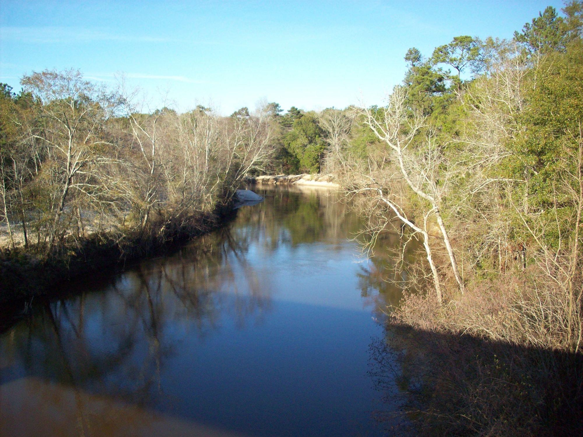
Choctawhatchee River
- Boat Ramps
- 21
- Access Points
- 21
- Campsites
- 8
The Choctawhatchee River is a waterway that flows through Alabama and Florida, offering paddlers a range of experiences from swift runs to serene flatwater. This 141-mile-long river begins in Alabama and meanders for about 88 miles through the Florida Panhandle before emptying into Choctawhatchee Bay. The river is characterized by its distinctive yellow-colored water, a result of the tannins from surrounding vegetation.
Paddlers can expect a variety of conditions, from swift currents after heavy rains to more challenging drop-and-pool sections during drier periods. The difficulty ranges from flatwater to Class II-III rapids, making it suitable for beginners to intermediate paddlers, depending on the section and water levels.
One of the most popular paddling routes is the West Fork of the Choctawhatchee River near Ozark, Alabama. This 5.8-mile stretch offers a mix of swift runs and calmer pools, with difficulty varying based on recent rainfall.
Further downstream, the proposed 57-mile Choctawhatchee River Paddle Trail in Florida would link several access points, including Morrison Springs and Black Creek, providing opportunities for both day trips and multi-day adventures. Morrison Springs is a highlight along the river, featuring a 250-foot diameter spring pool that produces an estimated 48 million gallons of crystal-clear water daily. This area is popular for swimming, scuba diving, and as a starting point for paddling trips. From here, paddlers can enjoy a scenic 2.2-mile route that connects to the main river.
The best time to paddle the Choctawhatchee varies depending on the section and recent weather conditions. Spring and fall generally offer comfortable temperatures and more consistent water levels. Summer can be hot and humid, while winter paddling is possible but requires proper cold-water gear.
Wildlife is abundant along the river, with alligators being a notable presence. Paddlers may also encounter a variety of bird species, fish, and other native flora and fauna. The river corridor is relatively undeveloped, providing a pristine natural experience.
Key access points include Morrison Springs County Park, Vernon, and various landings along the proposed paddle trail. Towns like DeFuniak Springs and Ebro serve as gateways to the river. Holmes Creek, a major tributary, offers additional paddling opportunities with its clear spring-fed waters and multiple access points.
Safety considerations include being aware of water levels, which can fluctuate rapidly after heavy rains, and respecting wildlife, particularly alligators. Paddlers should always check current conditions and be prepared for remote stretches with limited cell phone coverage.
For those seeking a multi-day adventure, the river offers primitive camping opportunities along its banks, allowing for extended trips through the heart of Florida's wild spaces. Whether you're looking for a short, scenic paddle or an immersive wilderness experience, the Choctawhatchee River provides a rich tapestry of paddling opportunities in the Southeast.
Water access, boat ramps & amenities
Learn how to get on Choctawhatchee River. Uncover great paddling access points, boat ramps, and all the facilities you need for an unforgettable day on the water. Some locations shown may border or include private property. Always check property boundaries and applicable regulations before visiting. PaddleWays's Public & Private Land layer can help you plan your access with confidence.
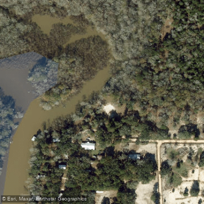
Jenkins Landing Public Boat Ramp

Rooks Bluff Fish Camp Boat Ramp
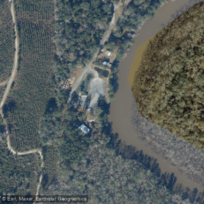
Cedar Log Landing Boat Ramp
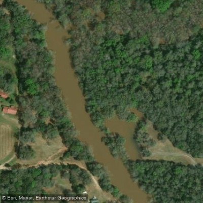
Spann's Boat Ramp
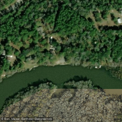
Bozeman's Fish Camp Boat Ramp
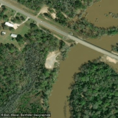
Clayhatchee Boat Ramp
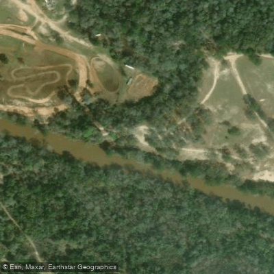
Newton Boat Ramp
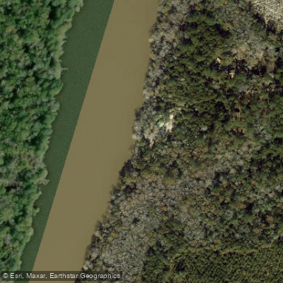
Cedar Tree Landing Public Boat Ramp
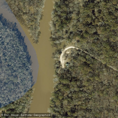
Billy Lee Park Boat Ramp
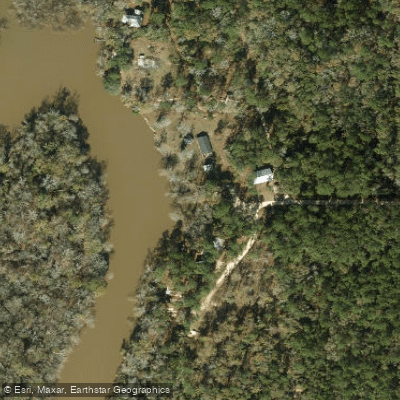
Ward Landing Boat Ramp
Paddle smarter with real-time insights
Whether you're en route and conditions shift or you're looking for the best spot based on current flows, we enable you to make informed decisions on the fly.








Find Places to Paddle

Over 400,000 Places to Paddle
Every user gets free access to launch points, boat ramps, and public property parcels.


Water and weather conditions (10 day forecast)
See the best times to paddle Choctawhatchee River and check the forecast before you go.
CHOCTAWHATCHEE RIVER NEAR BELLWOOD AL
All Flow Stations
Paddling near Choctawhatchee River

Chattahoochee River
Chipola River
Lake Tholocco
Pea River
Yellow River
Lake Jackson
Holmes Creek
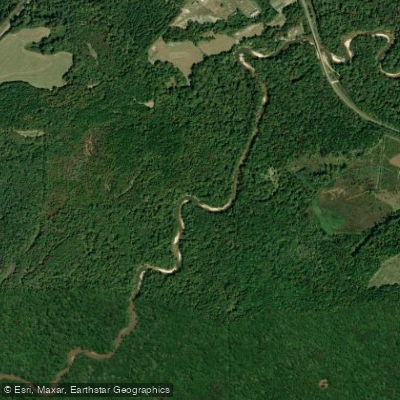
Conecuh River
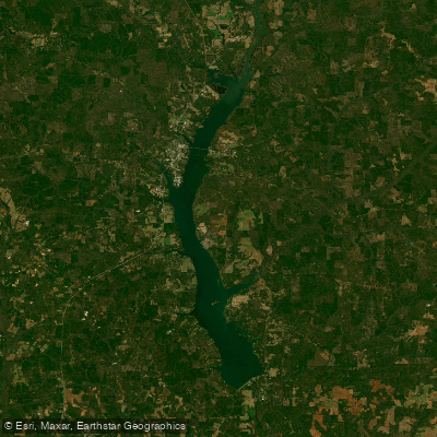
Walter F George Reservoir
Explore Alabama waters
Top paddling waters
Popular Cities
Loading popular cities...
Explore near Choctawhatchee River
Access points
- Jenkins Landing Public Boat Ramp
- Rooks Bluff Fish Camp Boat Ramp
- Cedar Log Landing Boat Ramp
- Spann's Boat Ramp
- Bozeman's Fish Camp Boat Ramp
- Clayhatchee Boat Ramp
- Newton Boat Ramp
- Cedar Tree Landing Public Boat Ramp
- Billy Lee Park Boat Ramp
- Ward Landing Boat Ramp
- Wrights Creek Boat Ramp
- Cerrogordo Landing Boat Ramp
- All 177 spots
Nearby waters
More in Alabama

Smarter Paddling Starts in the App.
Paddleways gives you everything you need to plan smarter, paddle better, and own every trip from first launch to takeout.