Conecuh River
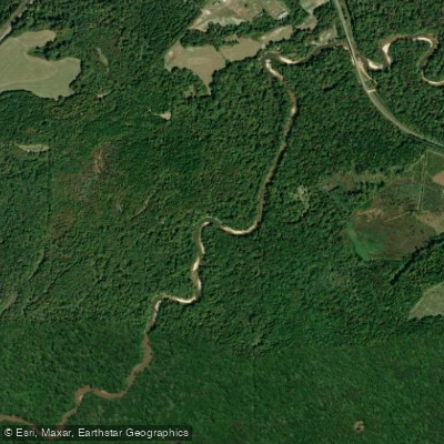
Conecuh River
- Boat Ramps
- 5
- Access Points
- 6
- Campsites
- 0
The Conecuh River is a scenic waterway that originates near Union Springs, Alabama and flows approximately 198 miles southwest into Florida, where it becomes known as the Escambia River. This blackwater river system drains parts of southern Alabama and the western Florida Panhandle before emptying into Pensacola Bay. Paddling opportunities abound along the Conecuh, with sections ranging from flatwater to Class II rapids. Popular stretches include the 13-mile run from River Falls to Cotton House Landing and the 15-mile segment from Harts Bridge to Cotton House.
The river offers a mix of experiences, from peaceful floats through cypress-lined corridors to more challenging sections with small rapids and shoals. The overall difficulty ranges from flatwater to Class II, making it suitable for beginners to intermediate paddlers. However, water levels can significantly impact conditions, with lower levels exposing more shoals and potentially requiring portages. Spring and fall are ideal paddling seasons, offering milder temperatures and typically favorable water levels. Summer can be enjoyable but hot, while winter paddling is possible for well-prepared enthusiasts.
The river corridor supports diverse ecosystems, home to 84 freshwater fish species and abundant wildlife. Paddlers may encounter alligators, turtles, and various bird species, including Mississippi Kites performing acrobatics above the treetops. Key landmarks include the Conecuh National Forest, which the river flows through, offering additional recreational opportunities like hiking and camping. The river passes under several bridges, such as Prestwood Bridge and Brooklyn Bridge, which serve as useful navigation markers.
Major access points include River Falls Landing, Harts Bridge, Cotton House Landing (Avant boat ramp), and various others near towns like Evergreen and Flomaton. As the river crosses into Florida, it becomes part of the Florida Canoe Trail system.
Historically, the Conecuh/Escambia river system has been vital for transportation and commerce in the region. Today, it's primarily valued for its recreational and ecological significance. Safety considerations include checking water levels before trips, being aware of submerged obstacles, and respecting private property along the banks. Multi-day trips are possible, with numerous sandbars offering primitive camping opportunities. For those seeking a longer adventure, the river can be combined with its tributaries like the Sepulga River or connected to the Yellow River system for extended journeys through the picturesque forests of southern Alabama and the Florida Panhandle.
Water access, boat ramps & amenities
Learn how to get on Conecuh River. Uncover great paddling access points, boat ramps, and all the facilities you need for an unforgettable day on the water. Some locations shown may border or include private property. Always check property boundaries and applicable regulations before visiting. PaddleWays's Public & Private Land layer can help you plan your access with confidence.
River Falls Boat Ramp
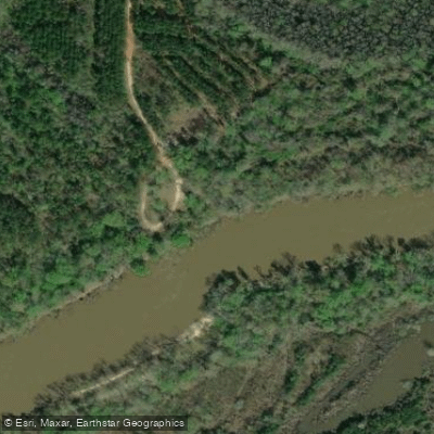
Mancil Rock Landing Access
Paddle smarter with real-time insights
Whether you're en route and conditions shift or you're looking for the best spot based on current flows, we enable you to make informed decisions on the fly.








Find Places to Paddle

Over 400,000 Places to Paddle
Every user gets free access to launch points, boat ramps, and public property parcels.


Water and weather conditions (10 day forecast)
See the best times to paddle Conecuh River and check the forecast before you go.
CONECUH RIVER AT BRANTLEY AL
All Flow Stations
Paddling near Conecuh River
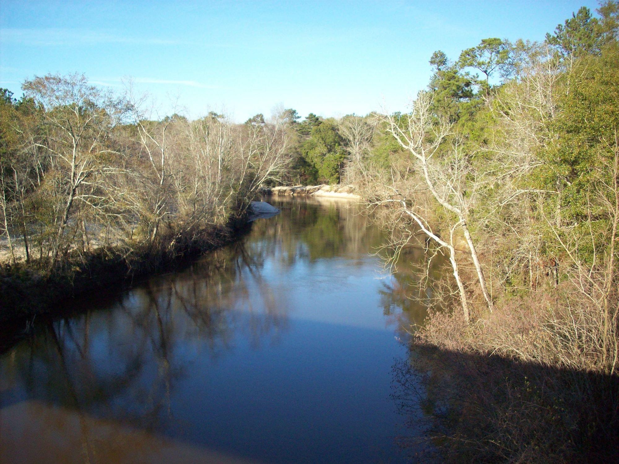
Choctawhatchee River

Chattahoochee River
Chipola River
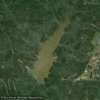
Lake Tholocco
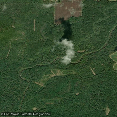
Pea River
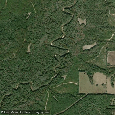
Yellow River
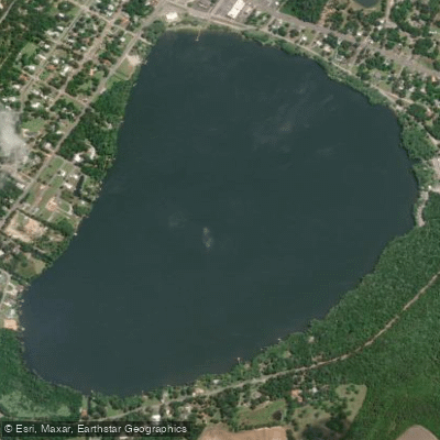
Lake Jackson
Holmes Creek
Walter F George Reservoir
Explore Alabama waters
Top paddling waters
Popular Cities
Loading popular cities...
Explore near Conecuh River
Access points
Nearby waters
More in Alabama

Smarter Paddling Starts in the App.
Paddleways gives you everything you need to plan smarter, paddle better, and own every trip from first launch to takeout.