Pea River
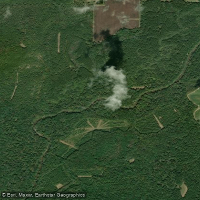
Pea River
- Boat Ramps
- 2
- Access Points
- 4
- Campsites
- 0
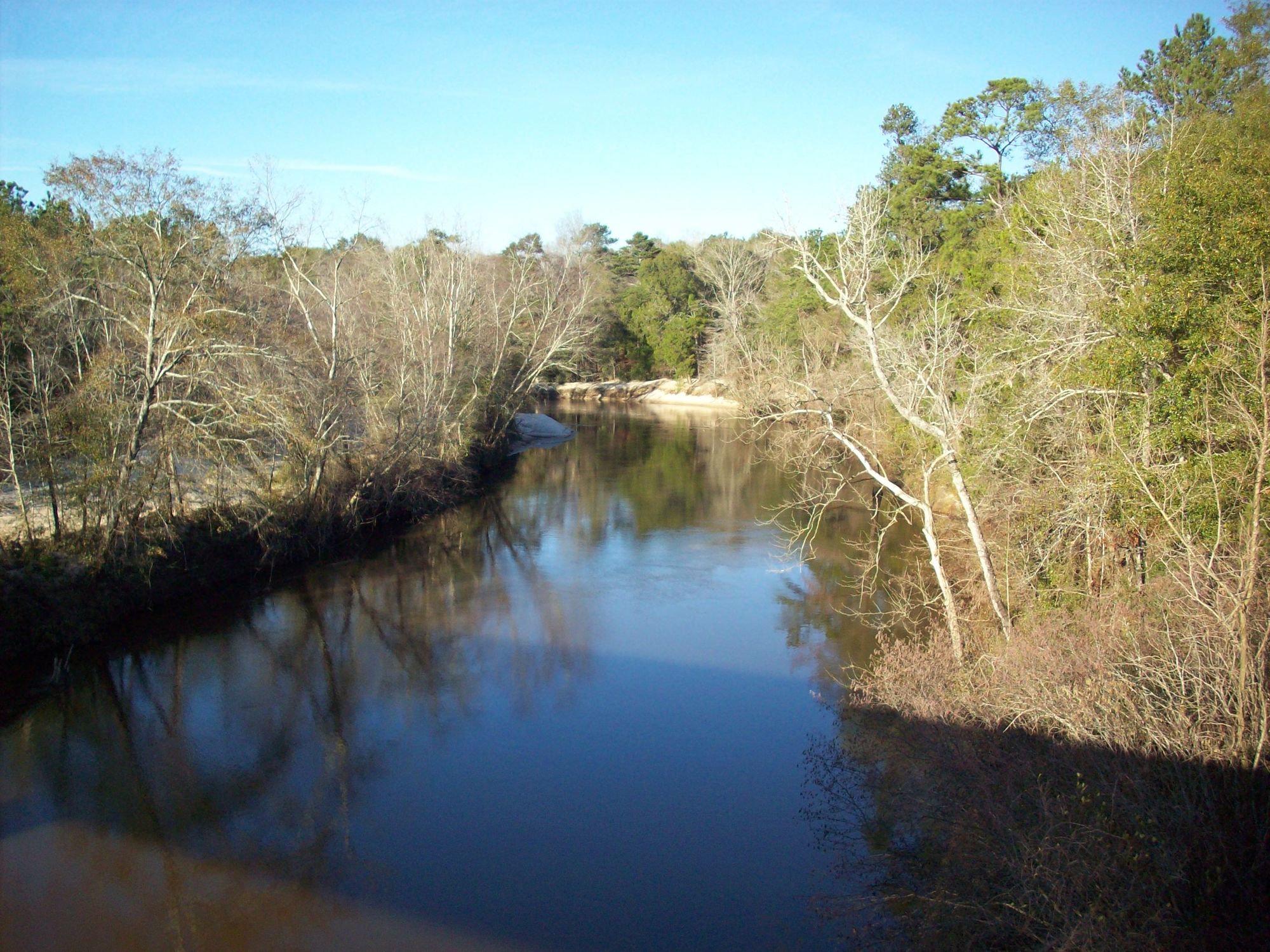
The Pea River is a scenic waterway flowing through southeastern Alabama. Originating near Union Springs, it meanders southward for approximately 154 miles before joining the Choctawhatchee River near Geneva, Alabama. The river forms part of the larger Choctawhatchee River watershed.
Paddling opportunities abound on the Pea River, with several popular sections for day trips and longer expeditions. The river offers a mix of flatwater paddling and mild rapids, generally suitable for beginner to intermediate paddlers. The difficulty ranges from flatwater to Class I-II, depending on water levels and specific sections.
A highlight for paddlers is the 63-mile stretch from Elba to Geneva, known as the Pea River Lower 63. This section features moderate to swift flow, numerous sand beaches, and diverse scenery. Shorter day trips are also popular, such as the 10-mile segment from Elba to Highway 87.
The best paddling times are typically spring through fall, though water levels can fluctuate seasonally. Paddlers should check conditions before embarking, especially after heavy rains.
The river corridor supports a rich ecosystem, with cypress swamps, hardwood forests, and diverse wildlife. Paddlers may encounter alligators, various bird species, and potentially Gulf sturgeon near the confluence with the Choctawhatchee River.
Key access points include: - Elba Boat Landing: Located just below the intersection of Highway 84 and County Road 401 - Kalamazoo Bridge: On Highway 87, popular for launching small boats - Geneva City Park: Take-out point near the Choctawhatchee River confluence
The Pea River holds cultural significance, with its name derived from the Muscogee Indian term Talakhatchee. The river played a role in the region's development and continues to be an important recreational resource.
Safety considerations include being aware of water levels, potential obstacles like downed trees, and respecting wildlife. The river has recently undergone improvements to enhance safety, with over 100 miles now marked for paddlers.
For those seeking a multi-day adventure, the full 63-mile Lower Pea River trip offers an immersive experience through the heart of southeastern Alabama. Pea River Outdoors in Elba provides rentals and support for paddlers exploring this scenic waterway.
Water access, boat ramps & amenities
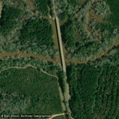
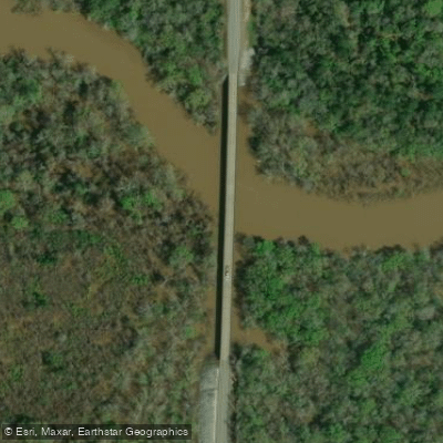
Learn how to get on Pea River. Uncover great paddling access points, boat ramps, and all the facilities you need for an unforgettable day on the water. Some locations shown may border or include private property. Always check property boundaries and applicable regulations before visiting. PaddleWays's Public & Private Land layer can help you plan your access with confidence.
Paddle smarter with real-time insights
Whether you're en route and conditions shift or you're looking for the best spot based on current flows, we enable you to make informed decisions on the fly.








Find Places to Paddle

Over 400,000 Places to Paddle
Every user gets free access to launch points, boat ramps, and public property parcels.


Water and weather conditions (10 day forecast)
See the best times to paddle Pea River and check the forecast before you go.
PEA RIVER NEAR ARITON AL
All Flow Stations
Paddling near Pea River
Choctawhatchee River

Chattahoochee River
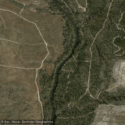
Chipola River
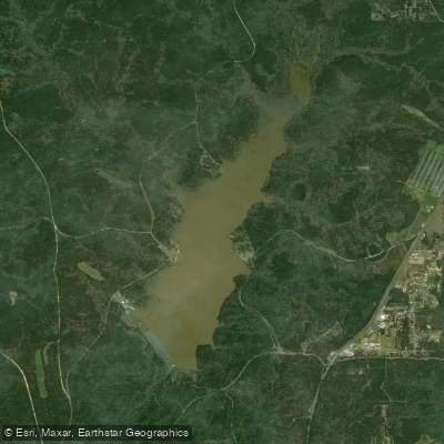
Lake Tholocco
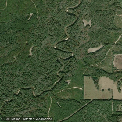
Yellow River
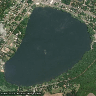
Lake Jackson
Holmes Creek
Conecuh River
Walter F George Reservoir
Explore Alabama waters
Top paddling waters
Popular Cities
Loading popular cities...
Explore near Pea River
Access points
Nearby waters
More in Alabama

Smarter Paddling Starts in the App.
Paddleways gives you everything you need to plan smarter, paddle better, and own every trip from first launch to takeout.