Curated by PaddleWays
RouteClass I–II
- Distance
- 13 mi
- Paddle time
- ~4.5 hrs
- Best for
- Beginners, intermediate paddlers
- Put-in → take-out
- Highway 280 Access → Highway 231 Access
Hatchet Creek originates in the Talladega National Forest in Clay County, Alabama, and flows southward through Coosa County before emptying into Mitchell Reservoir on the Coosa River. This 40-mile waterway descends over 400 feet in elevation, draining a watershed of 422 square miles through secluded, heavily forested terrain that provides exceptional scenery for paddlers seeking solitude away from more crowded Alabama rivers.
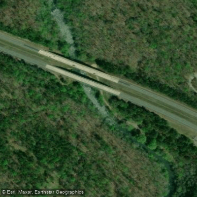
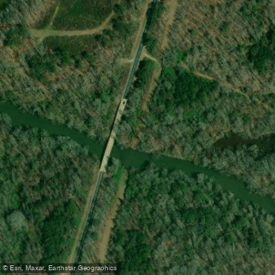
The creek offers multiple paddling sections accessible from four primary bridge crossings: County Road 4 near East Mill in Clay County, Highway 280 near Goodwater, Highway 231 north of Rockford, and Highway 29 north of Kelley's Crossroads. The most popular single-day trip runs from Highway 280 to Highway 231, featuring numerous shoals and a gradient of approximately 14 feet per mile. This section includes one notable Class II+ drop, with most rapids rating Class I-II. Paddlers continuing downstream from Highway 231 to King's Bridge (County Road 18) encounter additional Class I-II water, including a distinctive shoal where rare Cahaba lilies bloom. The final stretch from King's Bridge to the Double Bridges at Highway 29 transitions to slower, deeper water as the creek approaches Mitchell Lake. Multi-day expeditions covering the entire navigable length require overnight camping gear. Experienced paddlers rate Hatchet Creek as moderate difficulty, though certain sections demand technical maneuvering skills.
Flow conditions critically affect trip quality—levels below 400 cubic feet per second typically require dragging boats over rocks and shallow flats. Late winter and early spring provide optimal water levels, while summer months often bring challenging low flows that may render upper sections too shallow for comfortable passage.
The creek supports exceptional aquatic biodiversity with 61 fish species and 12 snail species, including the federally threatened Tulotoma snail. Game fish populations include largemouth bass, spotted bass, redeye bass, bluegill, redear sunfish, longear sunfish, and redbreast sunfish. Historical populations of white bass and southern walleye once supported popular spring fishing runs, though heavy siltation has impacted spawning habitat. Ongoing restoration efforts by state fisheries biologists focus on walleye recovery through broodfish collection and restocking programs conducted each February.
The primitive campground north of Kelley's Crossroads once served as a popular fishing destination. Paddlers should note that streambed and adjacent lands are predominantly privately owned, requiring landowner permission except at county road bridge right-of-ways. Barrett's Fish Camp on Lake Mitchell provides a convenient take-out point for those completing the full creek journey. The presence of blooming Cahaba lilies in shallow areas creates spectacular displays during their season, adding botanical interest to the paddling experience.
Curated routes
Hand-picked by the PaddleWays team, with put-ins, take-outs, paddle times and the hazards along the way.
RouteClass I–II
RouteClass I–II
RouteClass II
Hazards
No hazards are marked on Hatchet Creek yet. That is not the same as none being there: if you find one, report it for the next paddler.
From the community
Real trips from PaddleWays paddlers: which route they ran, how the flows were, and what to watch for.
Loading trip reports
Brooke nicole J.
Highway 231 Access to Highway 280 Access
Stevi M. •
Has anyone from the Childersburg/Sylacauga area paddled this run this year? Can anyone tell me the best put in spot?
See exactly where the public can get on and off the river. Launch points and boat ramps are paired with PaddleWays' public land data so you know where you can legally land.
Public shoreline
0%of the river's shoreline is public
Most of the riverbank is private. Launch, land and camp only at public access points.
Flows, weather and a route-by-route verdict, so you know which stretch of the Hatchet Creek is worth paddling today.
Live flows, marked hazards and fresh trip reports from paddlers who were just on the water, all in one place.





Every user gets free access to launch points, boat ramps, and public property parcels.
Loading popular cities...
PaddleWays gives you everything you need to plan smarter, paddle better, and own every trip from first launch to takeout.