Inland Lake
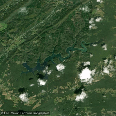
Inland Lake
- Boat Ramps
- 0
- Access Points
- 0
- Campsites
- 0
Inland Lake is a 1,557-acre reservoir located in Blount County, Alabama, impounding water from the Blackburn Fork of the Little Warrior River. The lake features 32.25 miles of shoreline and is exceptionally deep and clear, with a mean depth of 77 feet. Two boat ramps provide access: one near Allgood off Highway 75 on Inland Boat Landing Road, and another 9 miles southwest of Oneonta off Highway 75 on Inland Dam Road. Both access points are patrolled by the Blount County Sheriff's Department.
The Birmingham Water Works owns and operates Inland Lake primarily for water supply, but it is also used for pleasure boating, skiing, and fishing. Paddlers should be aware that the lake experiences significant annual drawdowns, with water levels fluctuating an average of 16.4 feet. The lowest levels typically occur in late fall before winter rains arrive.
Inland Lake is known for its exceptional water clarity and depth. The surrounding 2,200 acres of land owned by the Water Works contribute to its pristine setting. Fishing is popular, with a state record 40-pound channel catfish caught here in 1967.
Paddlers should note that access is controlled, and the Blount County Sheriff's Department charges a $5 fee per launch. The lake's primary purpose as a water supply means that regulations may be stricter than at purely recreational lakes. Those planning a trip should check current access policies and water levels in advance.
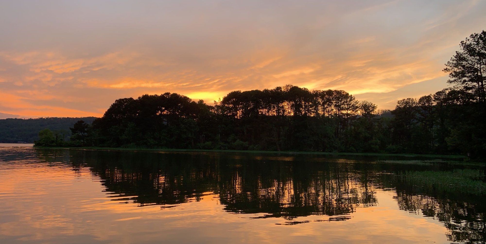
The lake's deep, clear waters and forested surroundings offer a serene paddling experience, though its use for water skiing means paddlers should be alert for motorized boat traffic. The significant annual drawdown may affect launch sites and shoreline appearance, particularly in late fall.
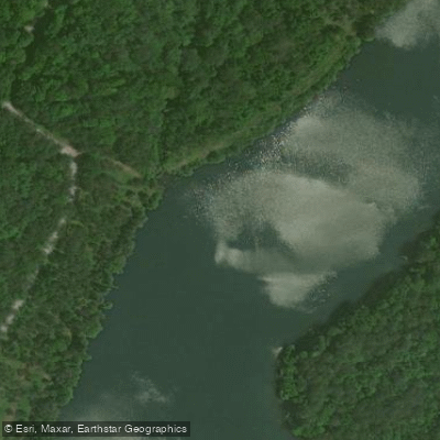
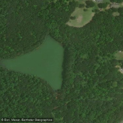
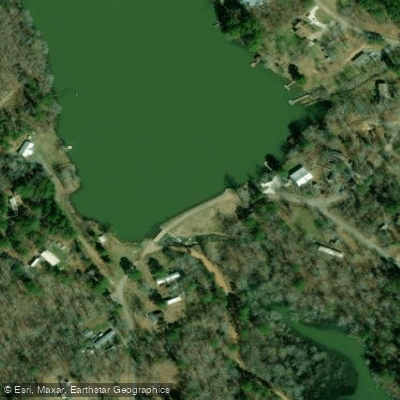
Water access, boat ramps & amenities
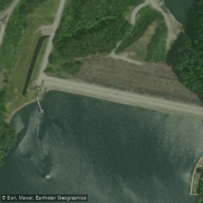
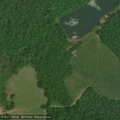
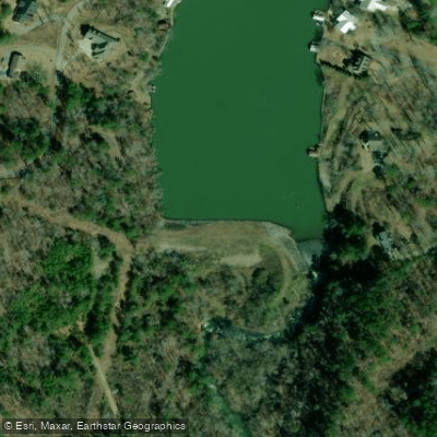
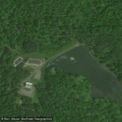
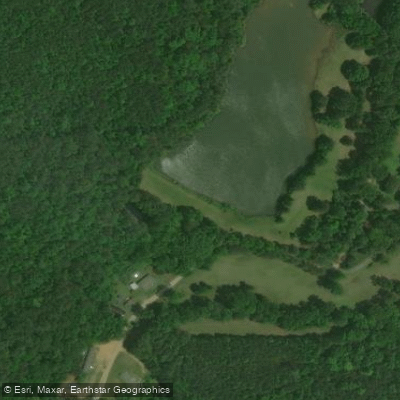
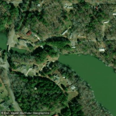
Learn how to get on Inland Lake. Uncover great paddling access points, boat ramps, and all the facilities you need for an unforgettable day on the water. Some locations shown may border or include private property. Always check property boundaries and applicable regulations before visiting. PaddleWays's Public & Private Land layer can help you plan your access with confidence.
Paddle smarter with real-time insights
Whether you're en route and conditions shift or you're looking for the best spot based on current flows, we enable you to make informed decisions on the fly.








Find Places to Paddle

Over 400,000 Places to Paddle
Every user gets free access to launch points, boat ramps, and public property parcels.


Water and weather conditions (10 day forecast)
See the best times to paddle Inland Lake and check the forecast before you go.
No forecast data available.
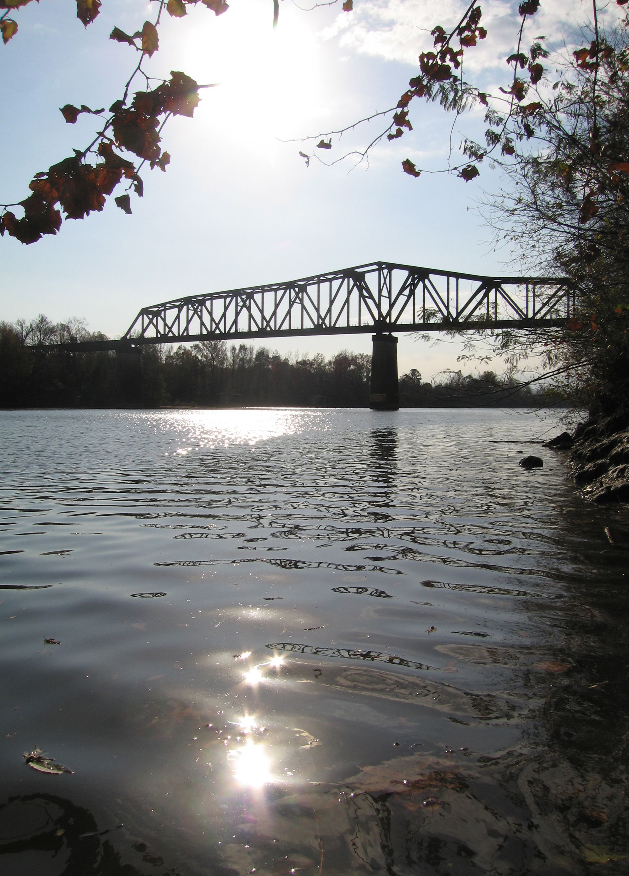
Paddling near Inland Lake
Black Warrior River
Cahaba River
Demopolis Lake
Lay Lake
Coosa River
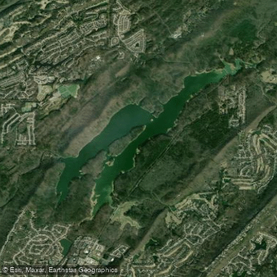
The Narrows
Lewis Smith Lake
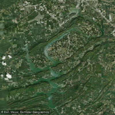
H Neely Henry Lake
Logan Martin Lake
Explore Alabama waters
Top paddling waters
Popular Cities
Loading popular cities...
Explore near Inland Lake
Access points
Nearby waters
More in Alabama

Smarter Paddling Starts in the App.
Paddleways gives you everything you need to plan smarter, paddle better, and own every trip from first launch to takeout.