R L Harris Reservoir
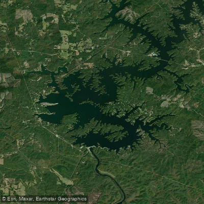
R L Harris Reservoir
- Boat Ramps
- 2
- Access Points
- 2
- Campsites
- 0
R.L. Harris Reservoir, locally known as Lake Wedowee, is a 10,660-acre impoundment located in east-northeast Alabama. Created in 1983, the lake features 271 miles of shoreline and reaches depths up to 135 feet, with an average depth of 40 feet. The reservoir is formed by the confluence of the Tallapoosa and Little Tallapoosa rivers.
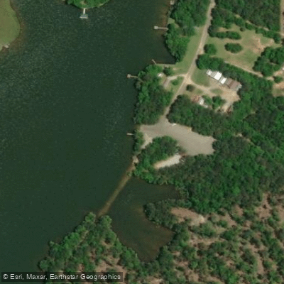
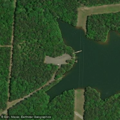
Several public boat ramps provide access, including Cresent Creek, Highway 48, Lonnie White, Swagg, and Tranquility launch sites. The lake's clear waters and rocky shoreline create an attractive setting for paddling. Spring and fall offer ideal conditions, with summer bringing warmer water temperatures suitable for swimming.
Paddlers can explore numerous coves, inlets, and the main river channels. The lake's size allows for both short excursions and full-day paddles. Wildlife viewing opportunities include various fish species and potentially waterfowl. Anglers may encounter largemouth bass, spotted bass, crappie, catfish, and the less common yellow perch.
Lake Wedowee has a 13 to 16-inch slot limit for black bass to improve fishing quality. Paddlers should be aware of potential motorized boat traffic, especially during peak summer months. The lake level is controlled by Alabama Power Company for hydroelectric generation, so water levels may fluctuate.
Amenities around the lake include marinas, boat rentals, and some waterfront dining options. Primitive camping is available on some sandbars. The surrounding area is largely rural, offering a peaceful paddling experience away from major development.
Water quality is generally good, benefiting from the lake's location in the nutrient-poor Piedmont region. This results in clear water conditions that enhance the aesthetic appeal for paddlers exploring Lake Wedowee's expansive waters.
Water access, boat ramps & amenities
Learn how to get on R L Harris Reservoir. Uncover great paddling access points, boat ramps, and all the facilities you need for an unforgettable day on the water. Some locations shown may border or include private property. Always check property boundaries and applicable regulations before visiting. PaddleWays's Public & Private Land layer can help you plan your access with confidence.
Paddle smarter with real-time insights
Whether you're en route and conditions shift or you're looking for the best spot based on current flows, we enable you to make informed decisions on the fly.








Find Places to Paddle

Over 400,000 Places to Paddle
Every user gets free access to launch points, boat ramps, and public property parcels.


Water and weather conditions (10 day forecast)
See the best times to paddle R L Harris Reservoir and check the forecast before you go.
No forecast data available.
Paddling near R L Harris Reservoir

Chattahoochee River
Coosa River
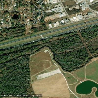
Choccolocco Creek
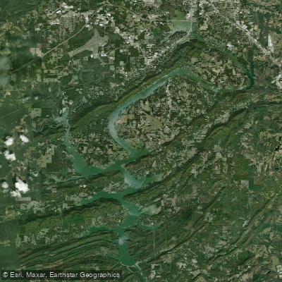
H Neely Henry Lake
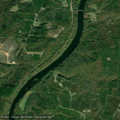
Tallapoosa River
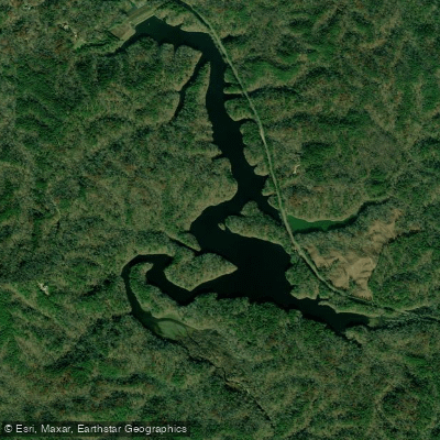
Choccolocco Number 11 Lake
Lay Lake
Logan Martin Lake
Weiss Lake
Explore Alabama waters
Top paddling waters
Popular Cities
Loading popular cities...
Explore near R L Harris Reservoir
Access points
Nearby waters
More in Alabama

Smarter Paddling Starts in the App.
Paddleways gives you everything you need to plan smarter, paddle better, and own every trip from first launch to takeout.