Curated by PaddleWays
RouteClass IV–V
- Distance
- 6.4 mi
- Paddle time
- ~1.5 hrs
- Best for
- Experienced paddlers
- Put-in → take-out
- Bucks Pocket State Park Access → South Sauty Creek Boat Ramp
Undercut rock at Jonah's Whale
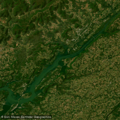
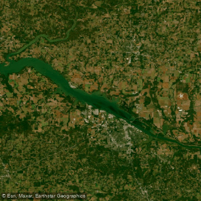
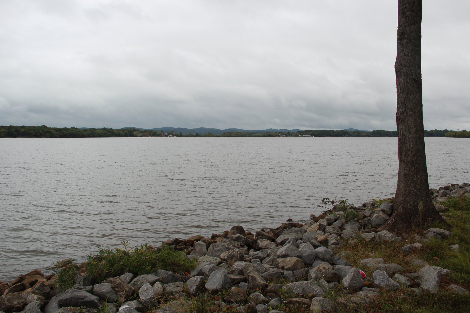
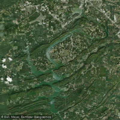
South Sauty Creek is a dynamic waterway located in northeastern Alabama, offering paddlers a thrilling journey through the picturesque Appalachian foothills. This creek, a tributary of the Tennessee River, flows through Jackson and DeKalb counties before emptying into Lake Guntersville.
The creek is best known for its challenging whitewater sections, particularly the Upper South Sauty Creek run. This 7.15-mile stretch begins at the intersection of County Roads 41 and 56 and ends at Bucks Pocket State Park. It features continuous Class III to IV rapids, with difficulty increasing to IV+ at higher water levels. The run kicks off with a 6-foot ledge drop known as Matheny's, setting the tone for an exhilarating paddle.
With a gradient ranging from 20 to 80 feet per mile, this section offers fast-paced, technical paddling that attracts experienced whitewater enthusiasts. For those seeking even more intense action, the Lower South Sauty Creek (Bucks Pocket Run) provides a short but demanding 1.2-mile Class IV-V experience. This section, running from Bucks Pocket State Park to Guntersville Lake, includes notable rapids like Jonah's Whale, which features a dangerous undercut rock.
In contrast, the lower reaches of South Sauty Creek near Lake Guntersville offer a more relaxed paddling experience. The section from South Sauty Creek Store to Morgans Cove provides flatwater to Class I-II conditions, ideal for less experienced paddlers and those interested in fishing or wildlife viewing.
The best time to paddle South Sauty Creek's whitewater sections is typically in the spring or after heavy rains when water levels are optimal. However, the lower sections near Lake Guntersville can be enjoyed year-round, weather permitting.
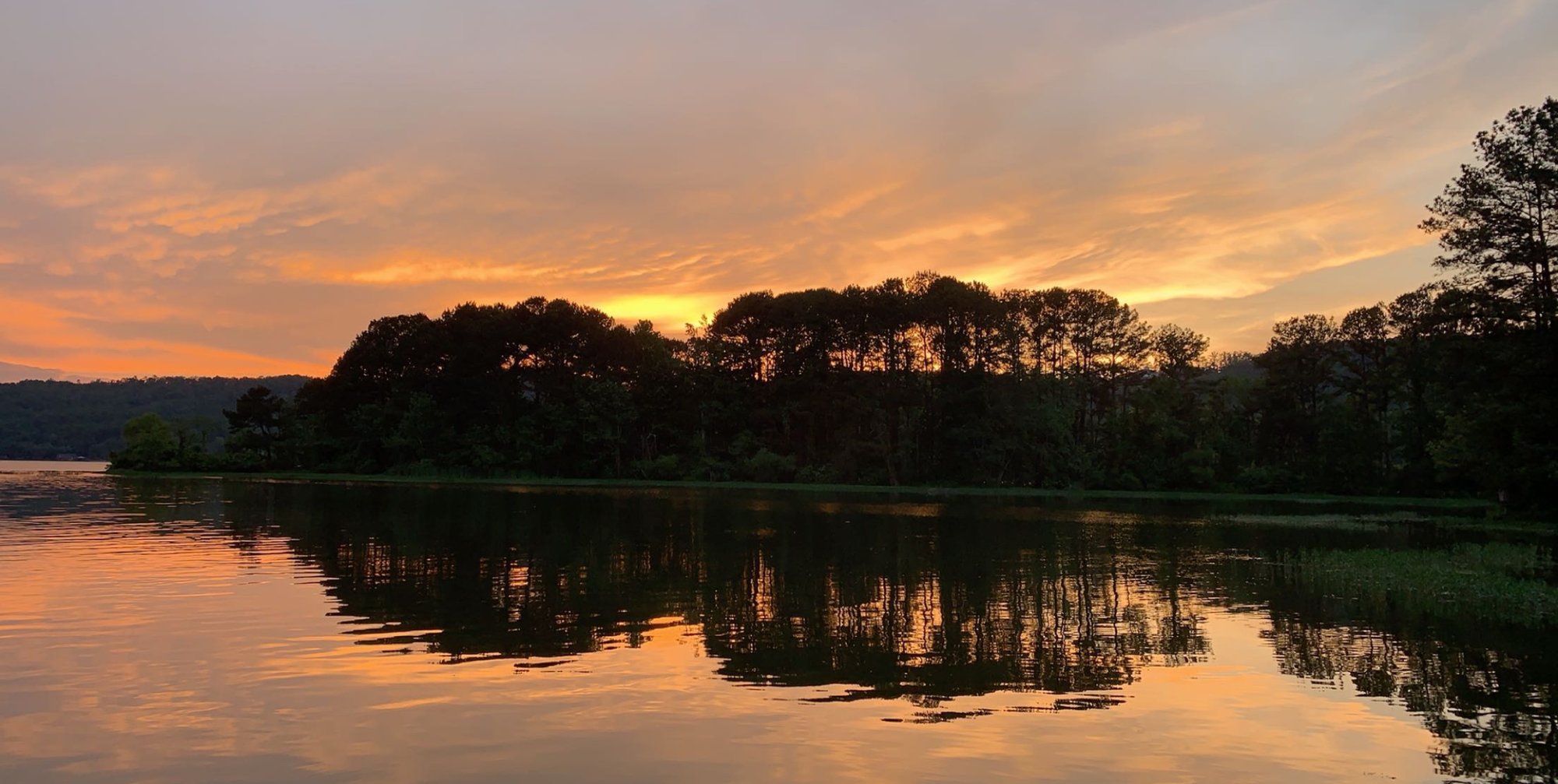
The creek and surrounding area are rich in biodiversity. Paddlers may spot various bird species, including migratory waterfowl, Great Blue Herons, and Great Egrets. The lush forests along the banks are home to diverse plant life typical of the Appalachian region.
Bucks Pocket State Park serves as a significant landmark and access point for the creek. The park offers camping facilities, hiking trails, and scenic overlooks, making it an excellent base for multi-day paddling trips. The nearby town of Langston provides additional access to the creek via the South Sauty Creek Store boat launch.
Safety is paramount when paddling South Sauty Creek, especially in its whitewater sections. Paddlers should be aware of potential hazards such as strainers and undercut rocks, particularly in the vicinity of Jonah's Whale rapid. It's advisable to check water levels before embarking on a trip and to wear appropriate safety gear at all times.
For those interested in a longer adventure, it's possible to combine a run on South Sauty Creek with exploration of Lake Guntersville or nearby streams like Town Creek or Short Creek, creating a multi-day paddling experience through some of Alabama's most beautiful waterways.
South Sauty Creek offers a perfect blend of challenging whitewater and serene flatwater paddling, set against the backdrop of Alabama's stunning natural beauty. Whether you're an adrenaline-seeking kayaker or a casual canoeist, this creek provides a memorable paddling experience for all who venture onto its waters.
Curated routes
Hand-picked by the PaddleWays team, with put-ins, take-outs, paddle times and the hazards along the way.
RouteClass IV–V
RouteClass III–IV
Hazards
No hazards are marked on South Sauty Creek yet. That is not the same as none being there: if you find one, report it for the next paddler.
From the community
Nobody has shared a trip on South Sauty Creek yet. Paddle it, then tell the next paddler how it went.
See exactly where the public can get on and off the river. Launch points and boat ramps are paired with PaddleWays' public land data so you know where you can legally land.
Public shoreline
7%of the river's shoreline is public
Most of the riverbank is private. Launch, land and camp only at public access points.
Flows, weather and a route-by-route verdict, so you know which stretch of the South Sauty Creek is worth paddling today.
Live flows, marked hazards and fresh trip reports from paddlers who were just on the water, all in one place.





Every user gets free access to launch points, boat ramps, and public property parcels.
Loading popular cities...
PaddleWays gives you everything you need to plan smarter, paddle better, and own every trip from first launch to takeout.