Disenchantment Bay
- Saltwater
- Bay
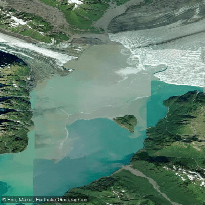
Disenchantment Bay
- Saltwater
- Bay
- Sq. miles
- 21
- Boat Ramps
- 0
- Access Points
- 0
- Campsites
- 0
Disenchantment Bay is a large, remote saltwater bay at the northern end of Yakutat Bay in southeastern Alaska, terminating at the face of the Hubbard Glacier. The primary access point for independent paddlers is at Esker Creek on the bay's western shore, which requires a short flight by bush plane or a charter boat ride from Yakutat to reach. This launch point lies within the Wrangell-St. Elias National Park and Preserve, where a public-use cabin is available. The bay is characterized by its dramatic tidewater glacier scenery, with Hubbard Glacier's icy cliffs reaching up to 400 feet high and frequently calving icebergs into the bay. These icebergs, ranging from large giants to smaller pieces, create a significant paddling hazard, and the nutrient-rich, often turbid waters attract marine mammals like seals and otters.
The area is extremely remote and exposed, with no road access. Paddlers must be entirely self-sufficient, prepared for rapidly changing weather, cold water, and significant fetch across the open bay. Brown bears are active along the shoreline, as evidenced by a reported mauling near Callahonda Creek; proper food storage and bear safety vigilance are critical for anyone camping. The bay experiences substantial tidal currents, and paddlers must carefully plan their travel with the tide stages. Cruise ships and tour operators, including kayak excursions launched from larger vessels, frequent the area near the glacier face, so paddlers should be aware of potential boat traffic. The best time for paddling is during the summer months, though conditions can be harsh and require appropriate cold-water gear and expedition-level planning for multi-day trips.
Water access, boat ramps & amenities
Learn how to get on Disenchantment Bay. Uncover great paddling access points, boat ramps, and all the facilities you need for an unforgettable day on the water. Some locations shown may border or include private property. Always check property boundaries and applicable regulations before visiting. PaddleWays's Public & Private Land layer can help you plan your access with confidence.
Paddle smarter with real-time insights
Whether you're en route and conditions shift or you're looking for the best spot based on current flows, we enable you to make informed decisions on the fly.








Find Places to Paddle

Over 400,000 Places to Paddle
Every user gets free access to launch points, boat ramps, and public property parcels.


Tides, wind & water conditions (10 day forecast)
On open water, wind and tide matter as much as the weather. See the best times to paddle Disenchantment Bay and check the marine forecast before you launch.
Loading tide predictions…
Paddling near Disenchantment Bay
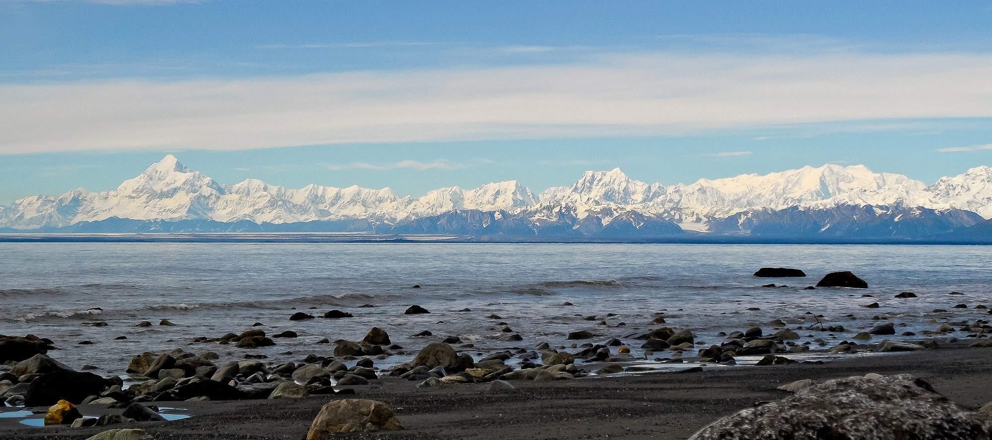
Yakutat Bay
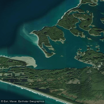
Monti Bay
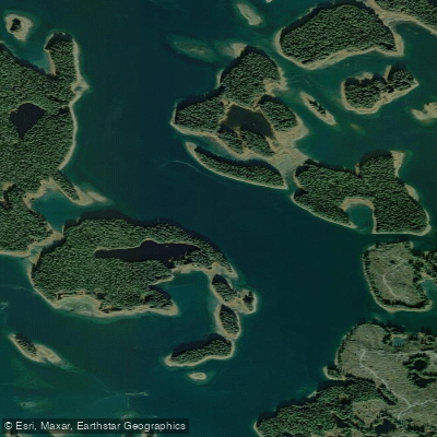
Johnstone Passage
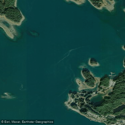
Yakutat Roads
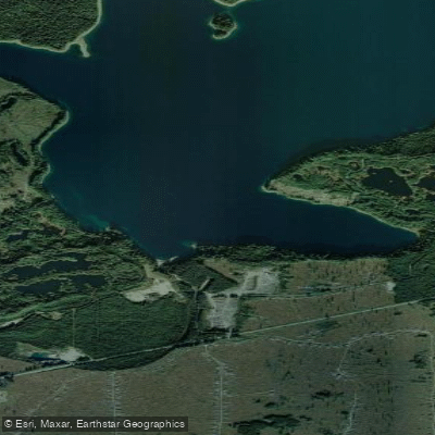
Broken Oar Cove
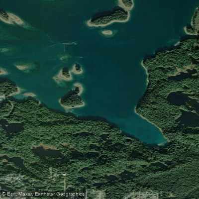
Puget Cove
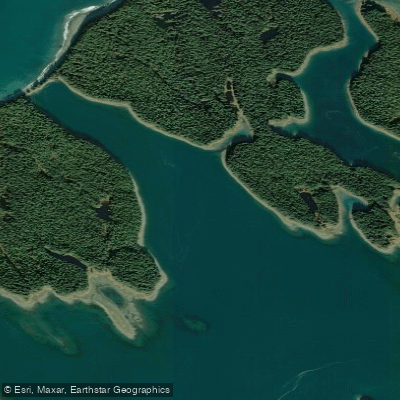
Sea Otter Bay
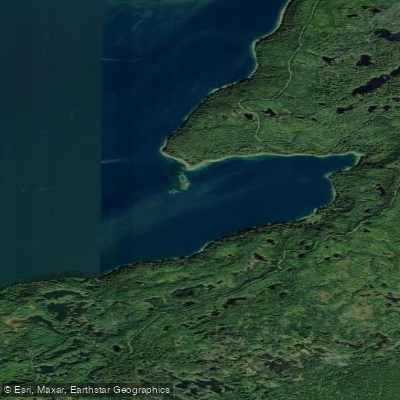
Redfield Cove
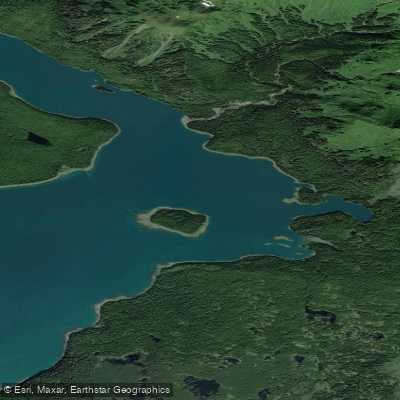
Eleanor Cove
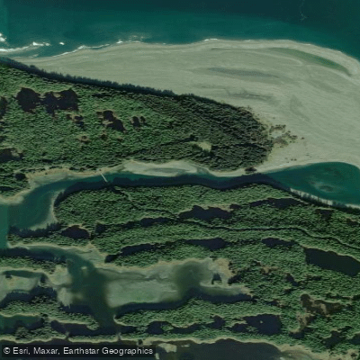
The Ankau
Explore Alaska waters
Top paddling waters
Popular Cities
Loading popular cities...
Explore near Disenchantment Bay

Smarter Paddling Starts in the App.
Paddleways gives you everything you need to plan smarter, paddle better, and own every trip from first launch to takeout.