Icy Bay
- Saltwater
- Bay
Icy Bay
- Saltwater
- Bay
- Sq. miles
- 120
- Boat Ramps
- 0
- Access Points
- 0
- Campsites
- 0
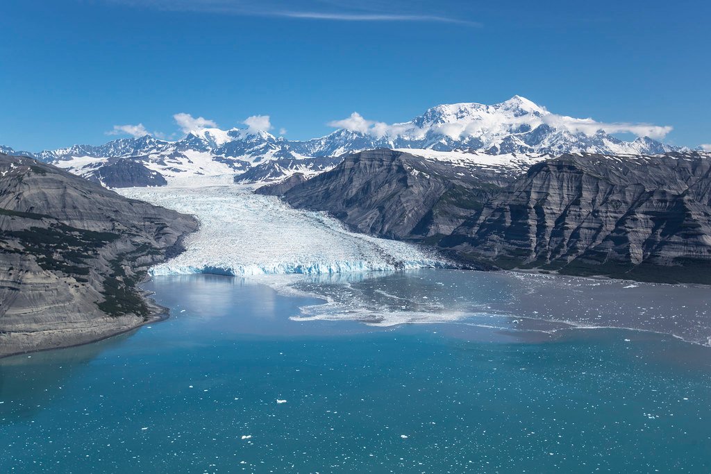
Icy Bay is a remote, multi-armed fjord system on the coast of Wrangell-St. Elias National Park and Preserve, formed by the rapid retreat of the Guyot, Yahtse, and Tyndall tidewater glaciers over the last century. Access is exclusively by small bush plane or floatplane from Yakutat, the nearest town with scheduled air and seasonal ferry service. The most common put-in for paddlers is the raised beach airstrip at Kageet Point on the bay's eastern edge; another potential access point is Pt. Riou to the southeast, though permission from the Chugach Alaska Native Corporation is required to land there. There are no formal launches or facilities, and many paddlers use collapsible kayaks for transport. The bay is characterized by deep, protected blue waters, often described as calm and glassy, though it can be subject to strong, cold katabatic winds descending from the surrounding icefields. The tidal range is significant, with a noted fluctuation of up to 15 feet, requiring careful attention to where boats are beached and gear is stored. The primary paddling experience involves exploring the long fjords that extend over 30 miles inland toward the active glacier termini. The water is consistently cold year-round, and the fjords are often congested with icebergs of all sizes calved from the glaciers; ice conditions can change rapidly with the tide and currents, and paddlers must maintain a safe distance from calving faces due to the risk of wave surges. Wildlife is abundant, with an estimated 3,500 harbor seals commonly seen hauled out on ice floes, and bears are present throughout the area, necessitating strict food storage practices. There are no designated campsites, but numerous beach camping opportunities exist along the shores. The best season for paddling is summer, though the area is known for persistent rain; periods of high pressure can provide clear weather. The overall experience is one of profound solitude and raw wilderness, paddling among towering waterfalls, deep fjords, and spectacular glacial scenery with the high peaks of the St. Elias Mountains as a backdrop.
Water access, boat ramps & amenities
Learn how to get on Icy Bay. Uncover great paddling access points, boat ramps, and all the facilities you need for an unforgettable day on the water. Some locations shown may border or include private property. Always check property boundaries and applicable regulations before visiting. PaddleWays's Public & Private Land layer can help you plan your access with confidence.
Paddle smarter with real-time insights
Whether you're en route and conditions shift or you're looking for the best spot based on current flows, we enable you to make informed decisions on the fly.








Find Places to Paddle

Over 400,000 Places to Paddle
Every user gets free access to launch points, boat ramps, and public property parcels.


Tides, wind & water conditions (10 day forecast)
On open water, wind and tide matter as much as the weather. See the best times to paddle Icy Bay and check the marine forecast before you launch.
Loading tide predictions…
Paddling near Icy Bay
Yakutat Bay
Monti Bay
Johnstone Passage
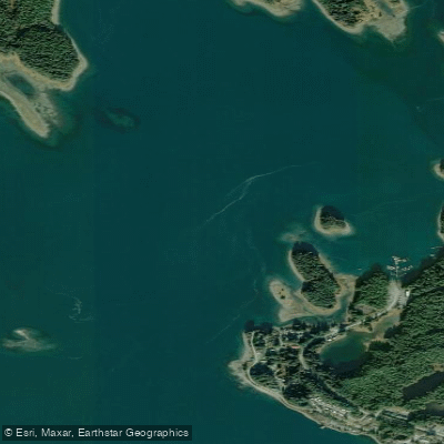
Yakutat Roads
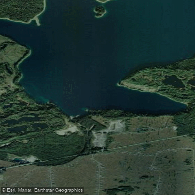
Broken Oar Cove
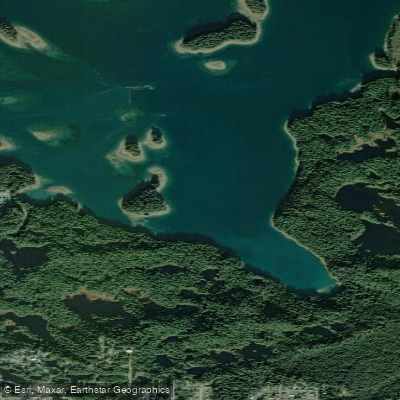
Puget Cove
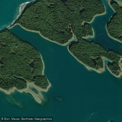
Sea Otter Bay
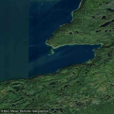
Redfield Cove
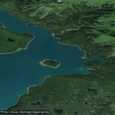
Eleanor Cove
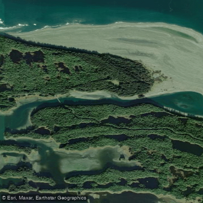
The Ankau
Explore Alaska waters
Top paddling waters
Popular Cities
Loading popular cities...
Explore near Icy Bay

Smarter Paddling Starts in the App.
Paddleways gives you everything you need to plan smarter, paddle better, and own every trip from first launch to takeout.