Kamishak Bay
- Saltwater
- Bay
Kamishak Bay
- Saltwater
- Bay
- Sq. miles
- 373
- Boat Ramps
- 0
- Access Points
- 0
- Campsites
- 1
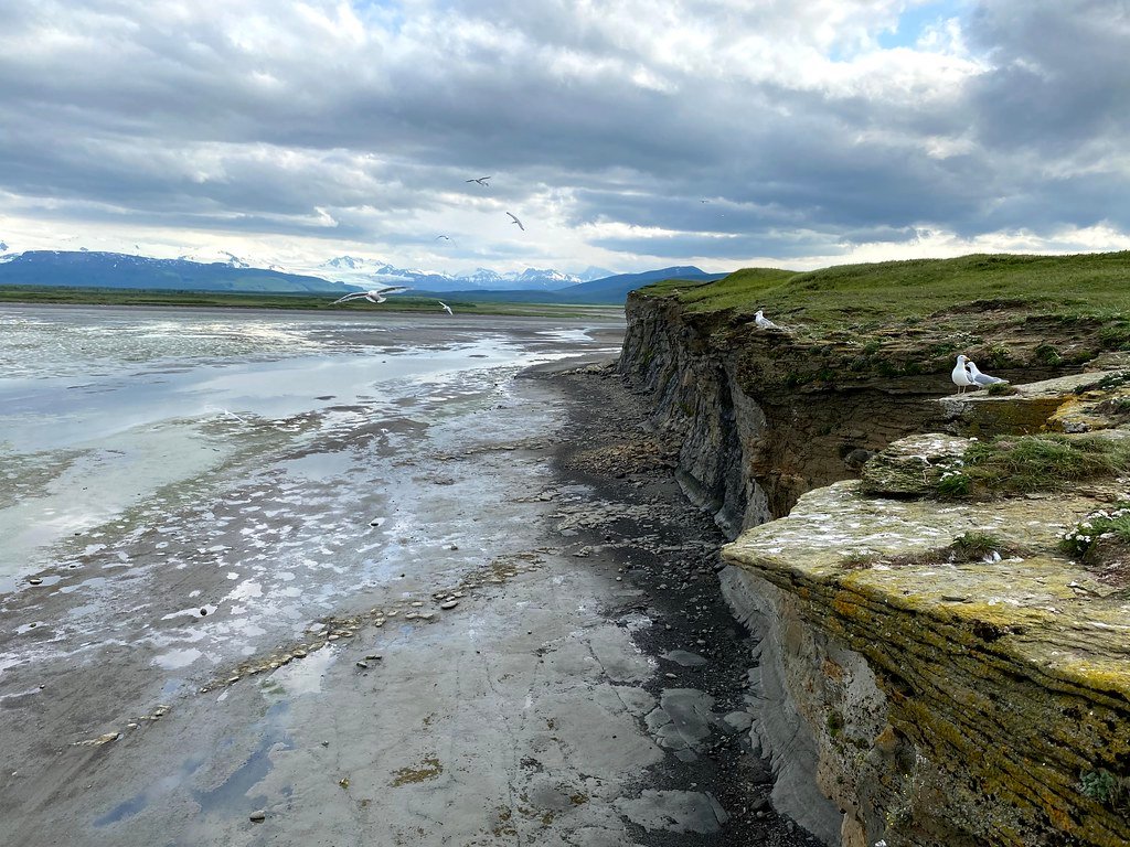
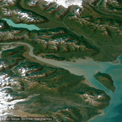
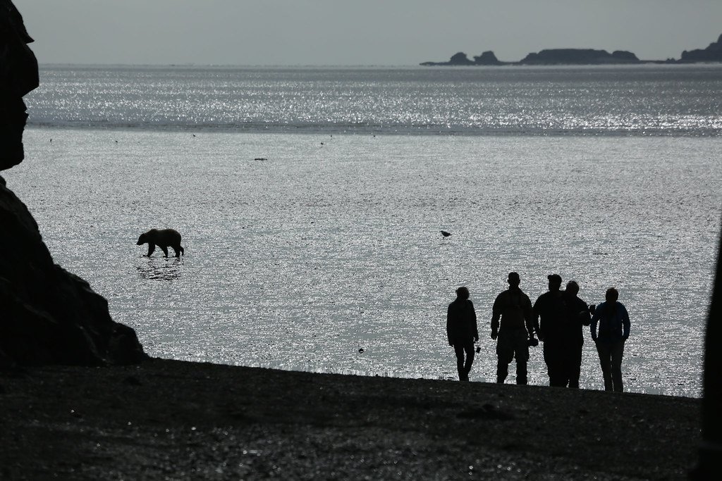
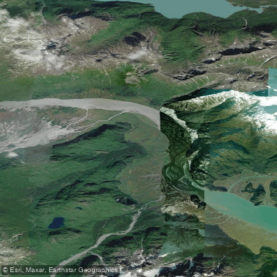
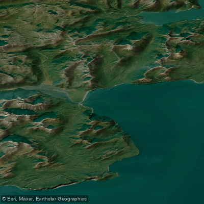
Kamishak Bay is a large, remote coastal bay on the western side of lower Cook Inlet, Alaska, forming part of the coastline of Katmai National Park and Preserve. This is a true wilderness paddling destination characterized by dramatic sea cliffs, complex terrain, and expansive views of active volcanoes including Augustine Island within the bay and the glaciated peaks of Douglas and Four Peaks. The coastline features actively eroding sea cliffs, broad tidal flats of exposed bedrock, and uplifted old shorelines, creating a geologically fascinating landscape. The area is extremely remote with no road access or developed facilities for paddlers; access is typically via floatplane or by traversing the rugged coastline on foot, as described in a multi-day packrafting expedition that covered roughly 60-70 miles from Bruin Bay to Cape Douglas. This traverse required careful tide planning, as beach walking is only feasible at low tide, and packrafts were used to cut off headlands and cross substantial bays like from Chenik Head to Amakdedulia and across Akumwarvik Bay. Paddling here is a serious expedition undertaking. Cook Inlet is known for its large tidal range, reported to be up to 29 feet in some areas, and very strong tidal currents that must be planned around; local knowledge dictates traveling with favorable currents. The bay is exposed to the full fetch of Cook Inlet, making wind and weather dominant safety factors. The water is cold year-round. Notable hazards include the need to ford or paddle across river mouths like the Douglas River, which may not be fordable depending on season and runoff, and the presence of brown bears along the coast. Commercial fishing and scallop dredging survey activity occurs in the bay, indicating potential for boat traffic. The 2014 disappearance of a kayaker in the area underscores the severe risks posed by the remote, exposed, and challenging conditions.
Water access, boat ramps & amenities
Learn how to get on Kamishak Bay. Uncover great paddling access points, boat ramps, and all the facilities you need for an unforgettable day on the water. Some locations shown may border or include private property. Always check property boundaries and applicable regulations before visiting. PaddleWays's Public & Private Land layer can help you plan your access with confidence.
Paddle smarter with real-time insights
Whether you're en route and conditions shift or you're looking for the best spot based on current flows, we enable you to make informed decisions on the fly.








Find Places to Paddle

Over 400,000 Places to Paddle
Every user gets free access to launch points, boat ramps, and public property parcels.


Tides, wind & water conditions (10 day forecast)
On open water, wind and tide matter as much as the weather. See the best times to paddle Kamishak Bay and check the marine forecast before you launch.
Loading tide predictions…
Explore Alaska waters
Top paddling waters
Popular Cities
Loading popular cities...
Explore near Kamishak Bay
Access points
More in Alaska

Smarter Paddling Starts in the App.
Paddleways gives you everything you need to plan smarter, paddle better, and own every trip from first launch to takeout.