Verde River
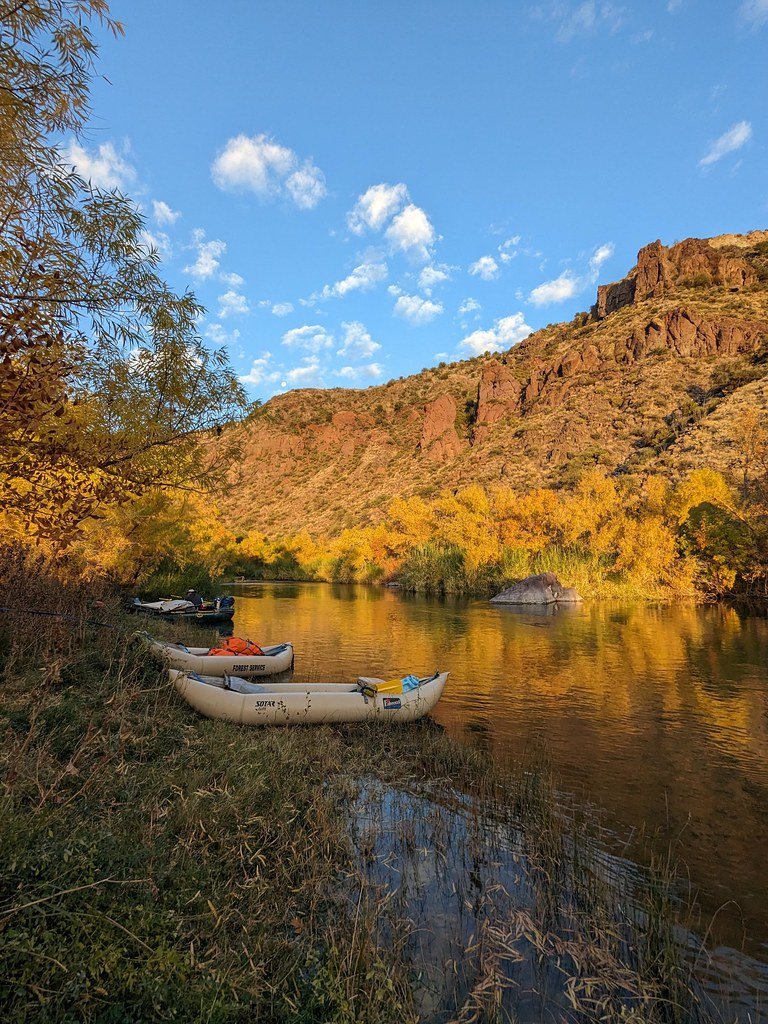
Verde River
- Boat Ramps
- 4
- Access Points
- 10
- Campsites
- 15
The Verde River is a scenic waterway that flows through central Arizona, offering a diverse range of paddling experiences for kayakers, canoeists, and rafters. Beginning near the town of Paulden and meandering southward for approximately 170 miles, the river joins the Salt River east of Phoenix, creating a vital riparian corridor through the arid landscape.
The river can be divided into several distinct sections, each with its own character and challenges. The upper reaches, including the Verde River Greenway Paddle Trail from Tuzigoot Bridge to Highway 89A Bridge, provide a gentle introduction to the river with mostly Class I-II rapids. This 6.5-mile stretch is perfect for beginners and families, offering beautiful views of the Verde Valley and ample opportunities for wildlife viewing.
As the river progresses, it becomes more adventurous. The section from Highway 89A to Beasley Flat, spanning 31 miles, increases in difficulty with Class II-II+ rapids, making it suitable for intermediate paddlers. This stretch passes through the Verde River Greenway State Natural Area, showcasing the lush riparian ecosystem that the river supports.
For those seeking a true wilderness experience, the Childs to Horseshoe Reservoir section, also known as the "Wilderness Run," offers a pristine 25-30 mile journey through the Mazatzal Wilderness. This remote stretch features more challenging Class III-IV rapids and is part of Arizona's only national wild and scenic river designation.
The Verde River's flow varies seasonally, with the highest water levels typically occurring in spring during snowmelt. This is the ideal time for rafting and whitewater kayaking. However, the river can be paddled year-round, with careful attention to changing water conditions. Summer and fall offer excellent low-water conditions for more leisurely trips.
The river corridor is home to a rich variety of flora and fauna. Paddlers may spot bald eagles, river otters, and a diverse array of bird species. The lush riparian areas are lined with cottonwood and willow trees, creating a stark contrast to the surrounding desert landscape.
Several notable landmarks punctuate the Verde's course, including the historic Tuzigoot National Monument near Clarkdale and the picturesque red rock formations visible from various points along the river. The Verde Canyon Railroad parallels a portion of the upper river, offering a unique perspective on the canyon's beauty.
Access to the river is facilitated by several towns along its course, including Clarkdale, Cottonwood, and Camp Verde. These communities serve as gateways to the river, offering amenities and services for paddlers.
Safety is paramount on the Verde River. Paddlers should be aware of fluctuating water levels, potential strainers, and the occasional low-head dam. It's essential to check current flow conditions before embarking on any trip, as the river's character can change dramatically with varying water levels.
For those looking to extend their adventure, multi-day trips are possible, particularly on the wilderness section. However, careful planning is required due to limited access points and the remote nature of some stretches.
The Verde River holds significant cultural and historical importance, having sustained indigenous communities for thousands of years before becoming a lifeline for early settlers and miners. Today, it continues to play a crucial role in Arizona's water supply and ecosystem health.
Whether you're seeking a relaxing float through scenic canyons, an exhilarating whitewater adventure, or a multi-day wilderness expedition, the Verde River offers a paddling experience to suit almost every skill level and interest, making it one of Arizona's premier paddling destinations.
Water access, boat ramps & amenities
Learn how to get on Verde River. Uncover great paddling access points, boat ramps, and all the facilities you need for an unforgettable day on the water. Some locations shown may border or include private property. Always check property boundaries and applicable regulations before visiting. PaddleWays's Public & Private Land layer can help you plan your access with confidence.
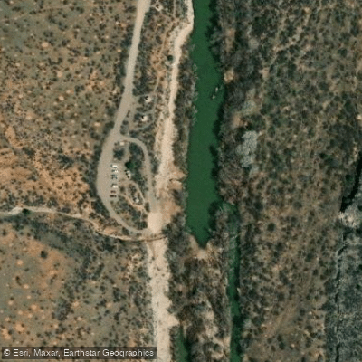
Beasley Flat Access
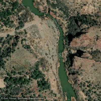
Gap Creek Access
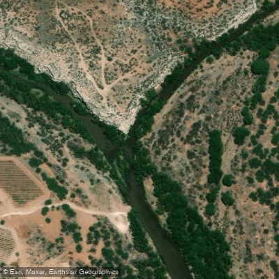
Verde River Confluence Access
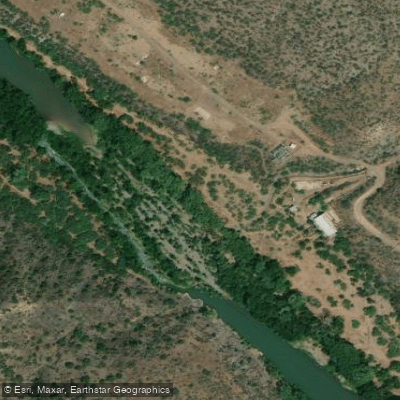
Child's Power Road Access
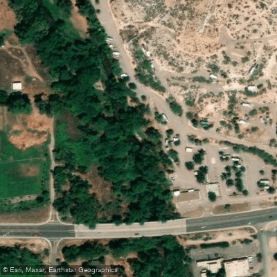
Highway 89A Bridge Access
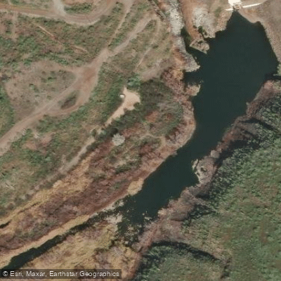
Fisherman Point Access
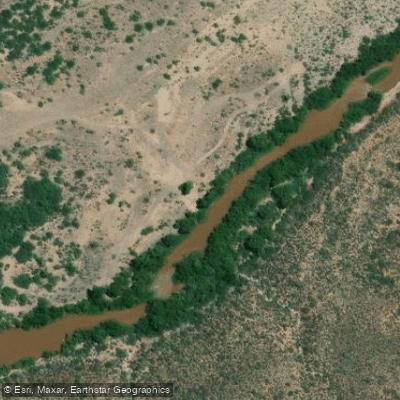
Bartlett Reservoir Tailwater Access
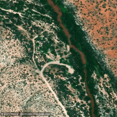
Bignotti Access
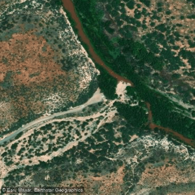
Black Canyon Access
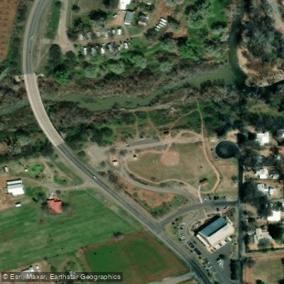
Rezzonico Family Park Access
Paddle smarter with real-time insights
Whether you're en route and conditions shift or you're looking for the best spot based on current flows, we enable you to make informed decisions on the fly.








Find Places to Paddle

Over 400,000 Places to Paddle
Every user gets free access to launch points, boat ramps, and public property parcels.


Water and weather conditions (10 day forecast)
See the best times to paddle Verde River and check the forecast before you go.
VERDE RIVER NEAR PAULDEN, AZ
All Flow Stations
Paddling near Verde River
Agua Fria River
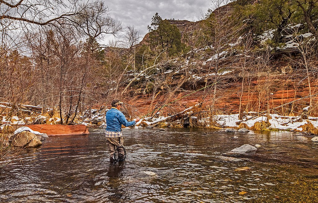
Oak Creek
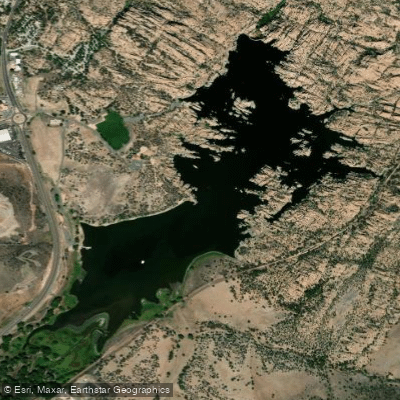
Watson Lake
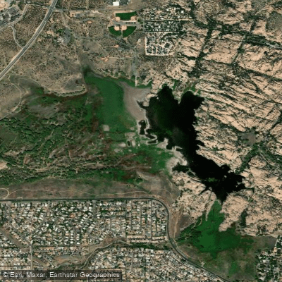
Willow Creek Reservoir
Lynx Creek
Pecks Lake
Lake Pleasant
Dogtown Reservoir
Kaibab Lake
Explore Arizona waters
Top paddling waters
Popular Cities
Loading popular cities...
Explore near Verde River
Access points
- White Bridge Boat Ramp
- Black Canyon Boat Ramp
- Dead Horse Ranch State Park Boat Ramp
- Phon D Sutton Boat Ramp
- Beasley Flat Access
- Gap Creek Access
- Verde River Confluence Access
- Child's Power Road Access
- Highway 89A Bridge Access
- Fisherman Point Access
- Bartlett Reservoir Tailwater Access
- Bignotti Access
- All 82 spots
Nearby waters
More in Arizona

Smarter Paddling Starts in the App.
Paddleways gives you everything you need to plan smarter, paddle better, and own every trip from first launch to takeout.